Gozdec - Veliki Babanski Skedenj (over Ruše and over saddle Jezerca)
Starting point: Gozdec (1065 m)
Starting point Lat/Lon: 46.3385°N 13.4941°E 
Path name: over Ruše and over saddle Jezerca
Time of walking: 3 h 30 min
Difficulty: partly demanding unmarked way
Difficulty of skiing: no data
Altitude difference: 1056 m
Altitude difference (by path): 1056 m
Map: Julijske Alpe - zahodni del 1:50000
Access to starting point:
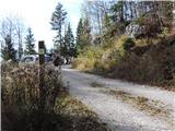
From central Slovenia we get to the center of Bovec over Predel, Vršič, Nova Gorica, Idrija, Cerkno or Petrovo Brdo, there we go upwards in the direction of Kaninska vas. At the next turn-off right (left Plužna). The road becomes a macadam and in turns brings us to B station, where at sharp the left turn we continue a little less than a kilometer to the sharp right turn, where we go left, or straight. Few more 100 meters we have to the parking lot on the left side, and in front of it from the sign for Kopa straight we see a marked path, which goes towards Kanin there is also our starting point.
Path description:
From the parking lot, we go few steps back, where left towards the steepness we see a little hidden signpost for Kanin, we ascend, and the path then soon flattens and occasionally steeper, and occasionally gently in 15 minutes brings us to a crossroad at log: right marked path goes on Kanin, and we turn slightly left, the path goes further through a nice forest, partly on flat, and occasionally also in zig-zags ascends over some rocky sections. All the time clearly visible footpath after a good half an hour comes out of the forest, where first views open up and they show further path steep towards the ridge of Ruša, in zig-zags we ascend below Ruša, where below its rocks and on the other side above the precipice, but enough wide, that it isn't dangerous we come on the south sunny slopes, where the path flattens and slightly descends to the next crossroad, where we turn right (left mountain pasture Baban). To here total approximately 1 hour and a half.
The path further rises a little and when we for the first time see the tower of Veliki Babanski Skedenj it again flattens. The path is now already poorly visible, but there isn't any bigger orientational problems, all the time we go in the direction of visible peak, some turn-offs are there, everywhere we go on the right. Later we come below the mountain walls of Mali Babanski Skedenj, in zig-zags below them and then again a little more flat and not too steep to a saddle Jezerca between the both peaks of Skedenj (to here from the previous crossroad approximately 1h 15 minutes.
On the other side of the saddle we continue on some parts more exposed footpath, and on some parts on a mule track below a wall. After half an hour of walking from the saddle we come on the south grassy slopes, where our footpath vanishes and we have about 20 more minutes to the top, where we can go on our own, because the grass isn't too steep and when dry it doesn't pose any danger. When we come to the summit we see miniature Aljaž turret and in case of nice weather fantastic view opens up.
Pictures:
 1
1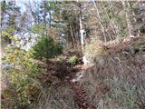 2
2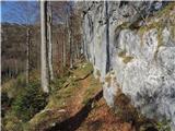 3
3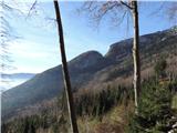 4
4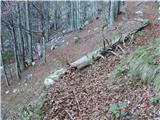 5
5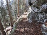 6
6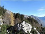 7
7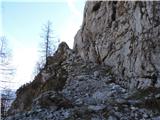 8
8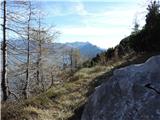 9
9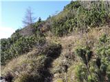 10
10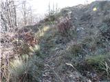 11
11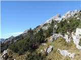 12
12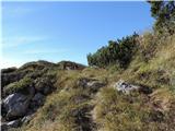 13
13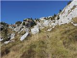 14
14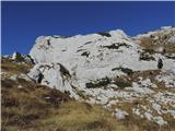 15
15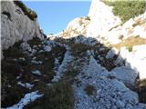 16
16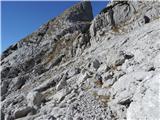 17
17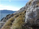 18
18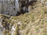 19
19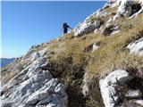 20
20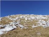 21
21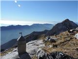 22
22