Starting point: Gračišče (296 m)
| Latitude/Longitude: | 45,50310°N 13,87620°E |
| |
Walking time: 30 min
Difficulty: easy marked way
Elevation gain: 155 m
Elevation difference along the route: 155 m
Map: Slovenska Istra - Čičarija, Brkini in Kras 1:50.000
Recommended equipment (summer):
Recommended equipment (winter):
Views: 12.703
 | 1 person like this post |
Access to starting point:
From the Ljubljana - Koper highway, take the Črni Kal exit. From Črni Kal, continue driving on the old road towards the coast, but drive along it only to the next somewhat larger crossroads, where we turn left in the direction of the Sočerga border crossing. On the mentioned road, we drive past the settlement of Kubed to the village of Gračišče, where at the crossroads we turn left in the direction of Rakitovec, Movraž and Smokvica. Only a few tens of meters ahead (at the primary school), or just before the sign "end of Gračišče", we turn left onto a side road, where we park in an appropriate spot at its beginning (higher up there are no suitable parking spots).
We can also reach the starting point from the direction of the coast, namely through the settlements of Prade, Pobegi, Čežarji, and Sveti Anton.
Route description:
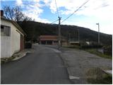
On the road by which we have parked, we ascend to the nearby church, then through the dense part of the settlement orientation becomes somewhat harder. We continue on the marked road (the blazes are very rare), then the road soon turns right, where it slightly descends. After a short descent we come to a smaller crossroads, where at the power line pole we continue right, then behind the house we notice the first signs for Lačna and the tower on it.
Behind the house we continue left and ascend on a narrower road to the last house in the village.
From here we continue on the marked cart track, which starts to ascend more steeply. The cart track quickly brings us to a marked junction, where we continue right in the direction of Lačna (left: Lisičji grad cave). The path ahead ascends transversely and quickly brings us out of the forest onto a panoramic slope, from which a nice view opens up on Gračišče and the surrounding hills. The path higher turns slightly left and a few meters higher joins a gentle cart track, which we follow to the right. On the cart track we continue only a few minutes, then the signs for the tower direct us left onto a footpath, along which in one minute of further walking we arrive at the top of Lačna.
From the top we can also ascend to the lookout tower, from which a nice view opens up towards Slavnik, Učka, Gulf of Trieste, and in good weather all the way to the Dolomites and Julian Alps.

Photos:
 1
1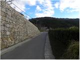 2
2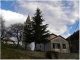 3
3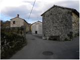 4
4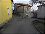 5
5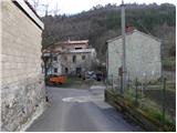 6
6 7
7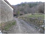 8
8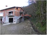 9
9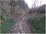 10
10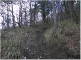 11
11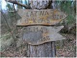 12
12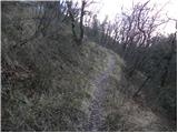 13
13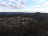 14
14 15
15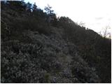 16
16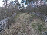 17
17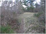 18
18 19
19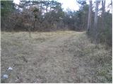 20
20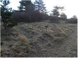 21
21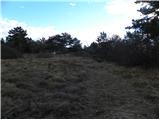 22
22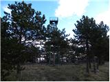 23
23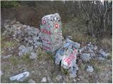 24
24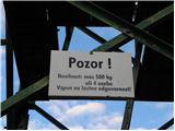 25
25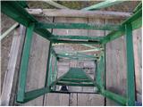 26
26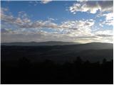 27
27
Discussion about the trip Gračišče - Lačna
To post a comment you must log in:
If you do not yet have a username, you must first
register.