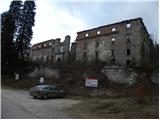
Grad Hošperk - Stari grad
Starting point: Grad Hošperk (450 m)
| Latitude/Longitude: | 45,82760°N 14,26460°E |
| |
Walking time: 40 min
Difficulty: easy unmarked way
Elevation gain: 253 m
Elevation difference along the route: 253 m
Map: Snežnik 1:50.000
Recommended equipment (summer):
Recommended equipment (winter):
Views: 5.571
 | 1 person like this post |
Access to starting point:
From the highway Ljubljana - Koper, we take the Unec exit, then continue driving towards Planina. Further, we drive along a somewhat more winding road, which we follow to the junction located just before the bridge over the river Unica. Here we turn left and then after 100 m park on the parking area next to the castle Hošperk, or Haasberg.
Route description:
At the end of the parking lot, a forest road branches off to the left (straight Unška koliševka and Malni), along which we continue. The road first leads past pastures, then enters the forest, through which it gently ascends in a few hairpin turns. Higher up, we arrive at a small saddle, where on the right we notice a picnic area, on the left a wooden cross and behind it a cart track, which branches off sharply to the left from the road.
We continue on the mentioned cart track, which ascends somewhat more steeply through the forest, then joins another, somewhat wider cart track, which we follow to the left upwards. The path further leads us under the power line, after which we quickly arrive at the not very panoramic summit.
Photos:
 1
1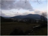 2
2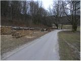 3
3 4
4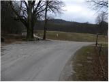 5
5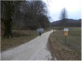 6
6 7
7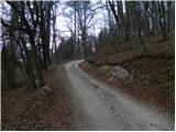 8
8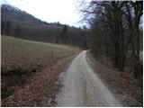 9
9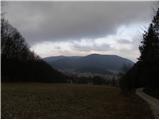 10
10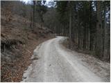 11
11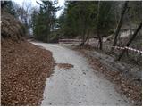 12
12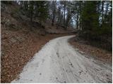 13
13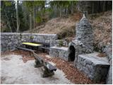 14
14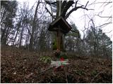 15
15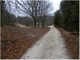 16
16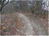 17
17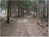 18
18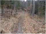 19
19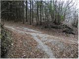 20
20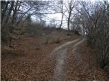 21
21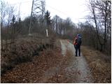 22
22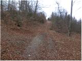 23
23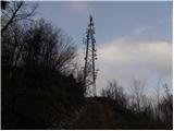 24
24 25
25
Discussion about the trip Grad Hošperk - Stari grad
To post a comment you must log in:
If you do not yet have a username, you must first
register.