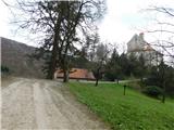
Grad Pišece - Veliki Špiček
Starting point: Grad Pišece (343 m)
| Latitude/Longitude: | 46,00714°N 15,63637°E |
| |
Walking time: 1 h 5 min
Difficulty: easy marked way
Elevation gain: 343 m
Elevation difference along the route: 375 m
Map:
Recommended equipment (summer):
Recommended equipment (winter): ice axe, crampons
Views: 97
 | 1 person like this post |
Access to starting point:
a) Drive to Krško, where we first follow the signs for Brežice, then for Zdole, and after Zdole for Bizeljsko. We continue through Sromlje, following the road to Pišec, and from there follow the signs for Grad Pišece. Park at one of the parking lots near the castle.
b) From Brežice follow the signs for Bizeljsko, then on the flat section where the road passes through the forest, turn left onto the side road towards Globoko. In the settlement of Globoko turn right towards Pišece, and continue following the signs for Pišece. Upon arriving in Pišece follow the signs for Grad Pišece. Park at one of the parking lots near the castle.
c) From the direction of Bistrica ob Sotli drive towards Brežice, at the end of the Bizeljsko settlement turn right towards Pišec. Upon arriving in Pišece follow the signs for Grad Pišece. Park at one of the parking lots near the castle.
Route description:
North of the castle, near one of the parking lots, we notice signs for the Path of Sovereignty and an older board of the forest educational trail. The signs direct us to a path that immediately turns into the forest and continues along a rough cart track. It first ascends, then levels out and crosses the slopes to the right for some time. In the last part of the crossing, the path gently descends; when we reach the nearby stream, we join a cart track coming from the direction of Ribnik or the starting point Marof near Pišece.
Continue left towards the north along the cart track, which gradually turns into a footpath. It levels out briefly, then ascends somewhat more steeply. After the ramsons patch, the path turns right, moves away from the valley floor and leads us along its headwall. The path then quickly turns back to the left and climbs to the forest road, which we reach near the bivouac of the Pišece Hunting Society. Here we turn right and arrive at the hunting bivouac in a few steps.
Behind the bivouac, from the forest road go slightly left onto the path marked for Veliki Špiček. The path ahead begins to ascend laterally along the northwestern slopes of the nearby Veliki vrh; once higher we reach the ridge, go left towards Veliki Špiček, reaching its summit after two minutes of further walking.
Starting point - Bivak LD Pišece 0:50, Bivak LD Pišece - Veliki Špiček 0:15.
The description and photos refer to the condition in March 2026.

Photos:
 1
1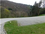 2
2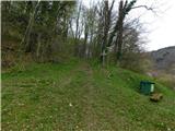 3
3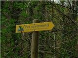 4
4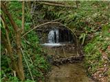 5
5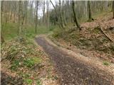 6
6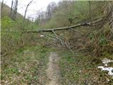 7
7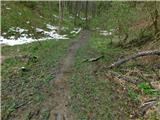 8
8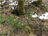 9
9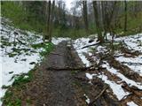 10
10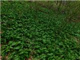 11
11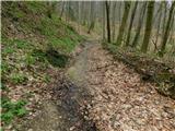 12
12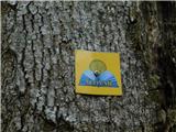 13
13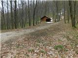 14
14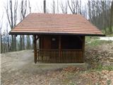 15
15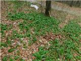 16
16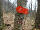 17
17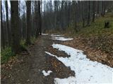 18
18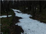 19
19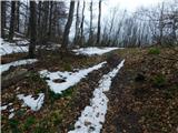 20
20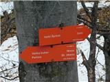 21
21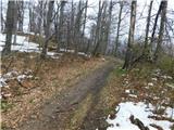 22
22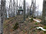 23
23 24
24
Discussion about the trip Grad Pišece - Veliki Špiček
To post a comment you must log in:
If you do not yet have a username, you must first
register.