Starting point: Gradišče (250 m)
| Latitude/Longitude: | 45,83230°N 13,97100°E |
| |
Walking time: 40 min
Difficulty: easy marked way
Elevation gain: 278 m
Elevation difference along the route: 290 m
Map: Nanos 1:50.000
Recommended equipment (summer):
Recommended equipment (winter):
Views: 2.800
 | 3 people like this post |
Access to starting point:
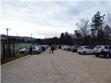
From Razdrto we drive on the highway towards Nova Gorica or vice versa and we go to the exit Vipava. We follow the road ahead, towards Vipava and Gradišče. In the village Gradišče we notice the first mountain signposts, which we follow to a larger parking lot by camp Kamp Tura above the village Gradišče.
Route description:
From the parking lot, we return to the road where we go a little left where signs point us to Plaz and Škavnica. We descend a few meters on the asphalt road and then the signpost for Plaz and Abram points us right on a footpath. The path starts ascending and then leads us past a few vineyards. Further, we ascend for quite some time through the low forest towards the north and we follow the signs for Plaz and Abram. Occasionally the forest gets a little thinner and a nice view opens up on Vipava valley and surrounding peaks. A little higher, the path brings us to a smaller plain below Plaz where there is a marked crossing, and by the path there is also a table and a few benches.
At the mentioned crossing, we go left towards the summit Plaz, right leads the path towards Abram, Ščavnica and Gradiška Tura. From the crossing, the path ascends a little through the forest and in a few minutes brings us to a panoramic peak from which a very nice view opens up on Vipava valley.

Photos:
 1
1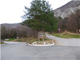 2
2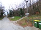 3
3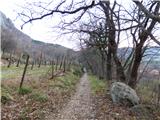 4
4 5
5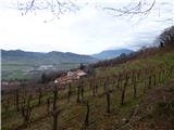 6
6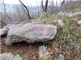 7
7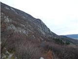 8
8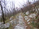 9
9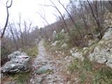 10
10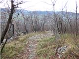 11
11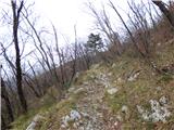 12
12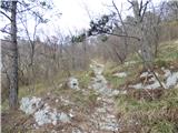 13
13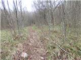 14
14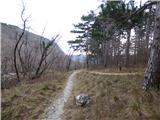 15
15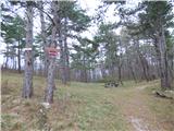 16
16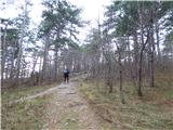 17
17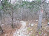 18
18 19
19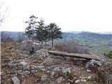 20
20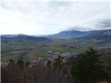 21
21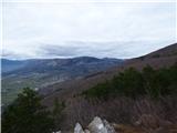 22
22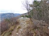 23
23
Discussion about the trip Gradišče - Plaz
To post a comment you must log in:
If you do not yet have a username, you must first
register.