Grahovo - Dom na Slivnici
Starting point: Grahovo (570 m)
| Latitude/Longitude: | 45,77048°N 14,42410°E |
| |
Walking time: 1 h 25 min
Difficulty: easy marked way
Elevation gain: 508 m
Elevation difference along the route: 508 m
Map: Snežnik 1:50.000
Recommended equipment (summer):
Recommended equipment (winter): ice axe, crampons
Views: 99
 | 1 person like this post |
Access to starting point:
From the Ljubljana - Koper motorway, take the Unec exit and follow the road towards Cerknica. From Cerknica, continue along the main road towards Bloke and Lož, then in the village of Grahovo, at the memorial park and next to Baza bar, notice the mountaineering signposts marking the start of the trail to Slivnica. Park at one of the nearby parking areas, or drive along the side road following the Slivnica signs, through the settlement and along the meadow to one of the parking lots in the forest. This shortens the trail by about 15 minutes.
Route description:
From the centre of the settlement Grahovo, head onto the side road marked for Slivnica, first passing the memorial park. Continue through the compact part of the settlement, following the markers at a few intersections.
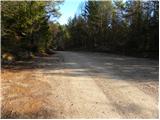
When the settlement ends, proceed across a vast meadow, then the road enters the forest, reaching a junction by a chapel. Here, go slightly left (left Martinjak, right Grahovo and Radlek) and arrive at a marked junction, near which there are a few more parking options (parking lot in photo no. 1).
Continue left towards the usual path to Slivnica (right path past the ruins of St. Nicholas Church), then immediately right from the road onto a cart track that initially gently ascends along a fence.
Further on, the path enters dense forest and gradually begins to ascend more steeply. Higher up, the path turns increasingly left, where it also levels out somewhat. As you gain elevation, the forest thins and beautiful views open up, stretching from Cerkniško polje across the Javorniki to Snežnik.
Higher, cross another belt of dense forest, where a path from Martinjak joins from the left, which is noticeably steeper than ours.
Follow the signs for Slivnica; the path then ascends transversely to the left and soon reaches extensive grassy slopes offering exceptional views of the surroundings. Here, ascend transversely, passing a junction to Coprniška jama, or Anžetova jama; a bit higher, the path forks again; we take the straight continuation (right to the summit of Slivnica via the path bypassing Dom na Slivnici), which brings us to Dom na Slivnici in about three minutes.
Grahovo - Doli 0:15, Doli - Skrajnice 0:55, Skrajnice - Dom na Slivnici 0:15.

Along the route: Platovo (587m), Doli kapelica (632m), Doli (640m), Skrajnice (1007m), Odcep k Coprniški jami (1065m)
Photos:
 1
1 2
2 3
3 4
4 5
5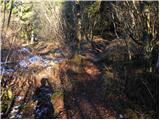 6
6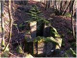 7
7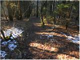 8
8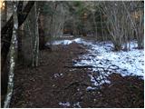 9
9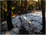 10
10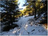 11
11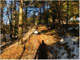 12
12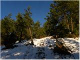 13
13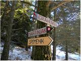 14
14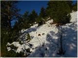 15
15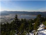 16
16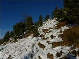 17
17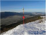 18
18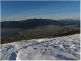 19
19 20
20
Discussion about the trip Grahovo - Dom na Slivnici
To post a comment you must log in:
If you do not yet have a username, you must first
register.