Grahovše - Javorče (via Rekar)
Starting point: Grahovše (800 m)
| Latitude/Longitude: | 46,36640°N 14,35180°E |
| |
Route name: via Rekar
Walking time: 2 h 35 min
Difficulty: easy pathless terrain
Elevation gain: 867 m
Elevation difference along the route: 867 m
Map: Karavanke - osrednji del 1:50.000
Recommended equipment (summer):
Recommended equipment (winter): ice axe, crampons
Views: 562
 | 1 person like this post |
Access to starting point:
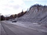
From the highway Ljubljana - Jesenice we go to the exit Ljubelj (Tržič), and then we continue driving towards Ljubelj. Just before the gas station in Bistrica pri Tržiču we leave the main road and continue driving right in the direction of Tržič. Then we drive through Tržič in the direction of Dovžanova soteska, and then at the end of the town we continue right in the direction of Lom pod Storžičem and Grahovše. When we get to Grahovše we drive on the road to the nearby quarry, by which we park.
Route description:
From the starting point, we continue on the road ahead, and when the road branches off to the right towards the hamlet Slaparska vas, we continue slightly left and quickly get to a crossroad in the middle of which there are several signposts.
We continue left in the direction of the mountain pasture Javornik, Stegovnik, mountain pasture Konjščica, Bela peč and sledding ground Rot (slightly right Dom pod Storžičem) and quickly ascend to the sports field ŠD Lom, from where a nice view opens up towards Storžič. Only a little further, the road passes into the forest and past a sign brings us to a smaller crossroad from which we continue right in the direction of the footpath and tourist farm Rekar. There follows a few minutes of diagonal ascent through the forest, then we step out of the forest and with nice views of the surroundings we reach the tourist farm Rekar.
We continue through the yard, where we follow the blazes, and after the chicken coop the path leads us on and along a smaller torrent gully. A little further, the path turns left and becomes steeper, and we quickly join a grassy cart track which takes us back into the forest. When in the forest we reach another cart track, we follow it to the right, and from it already after a few steps we go straight onto the marked path, on which we ascend to the nearby macadam road, where the path past the homestead Tič joins from the left. We follow the road to the right, and at the smaller crossroad we go straight.
At the part named Nad kotlom the path towards Dom pod Storžičem branches off to the right, and we continue on the road, which a few minutes further brings us to the next marked junction, where another path from Dom pod Storžičem joins from the right.
The road then bypasses Gaberčev rovt on the left side, and at the left bend we leave it and continue straight on the marked path, which gradually starts to ascend more steeply. A fairly steep path higher crosses a grazing fence, behind which it flattens and brings us to a junction, where the path to mountain pasture Javornik continues sharply to the right, and we continue a few steps further to the macadam road, which we follow to the left.
There follows only a good minute of walking and we arrive at the cottage at Zdravc, from which a nice view opens up towards the south.
From the cottage we continue for a short time on the road, and at a smaller saddle where the road starts to descend we leave it and continue right in the direction of Bela peč. There follows an ascent along a forested ridge, from which we occasionally get some views to the left, where there are steep slopes below us, and to the right side, where the dense forest blocks the view but the slope is less steep. Higher the marked path turns left from the ridge, but at that point we leave it and continue straight, where just a minute higher we reach a cart track, on which we continue the ascent. The cart track splits a few minutes higher, and we continue slightly left on the noticeably worse cart track, which soon starts to fade. Through easier pathless terrain we continue to a small saddle, where we continue right towards the main summit. We continue the ascent along an initially still indistinct ridge, following the ridge "path" all the way to the partly vegetated summit, where there is an inscription box.
Grahovše - Rekar 0:50, Rekar - cottage at Zdravc 1:10, cottage at Zdravc - Javorče 0:35.
The description and pictures (except the first, which is older) refer to the situation in November 2020.

Along the route: Rekar (1030m), Koča Pr Zdravc (1448m)
Photos:
 1
1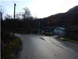 2
2 3
3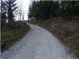 4
4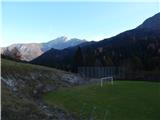 5
5 6
6 7
7 8
8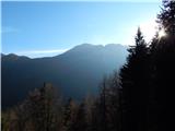 9
9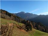 10
10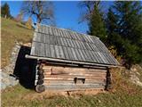 11
11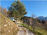 12
12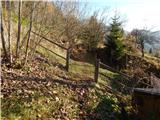 13
13 14
14 15
15 16
16 17
17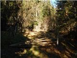 18
18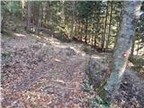 19
19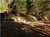 20
20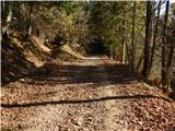 21
21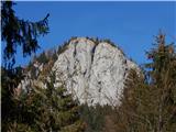 22
22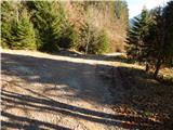 23
23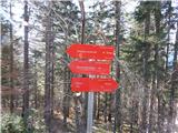 24
24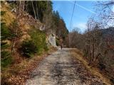 25
25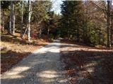 26
26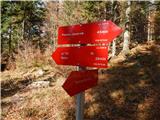 27
27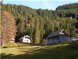 28
28 29
29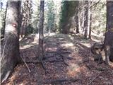 30
30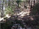 31
31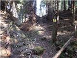 32
32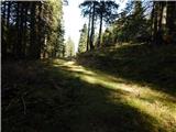 33
33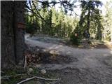 34
34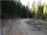 35
35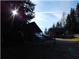 36
36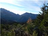 37
37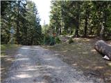 38
38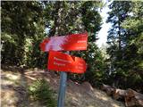 39
39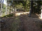 40
40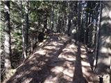 41
41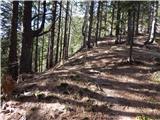 42
42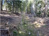 43
43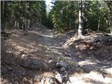 44
44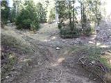 45
45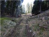 46
46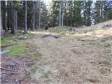 47
47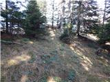 48
48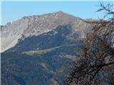 49
49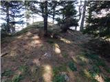 50
50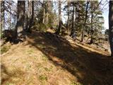 51
51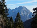 52
52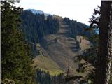 53
53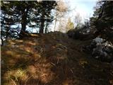 54
54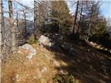 55
55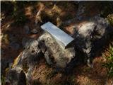 56
56
Discussion about the trip Grahovše - Javorče (via Rekar)
To post a comment you must log in:
If you do not yet have a username, you must first
register.