Starting point: Pod Hlipovcem (1356 m)
| Latitude/Longitude: | 46,41865°N 14,82766°E |
| |
Walking time: 55 min
Difficulty: easy marked way
Elevation gain: 328 m
Elevation difference along the route: 328 m
Map: Kamniške in Savinjske Alpe 1:50.000
Recommended equipment (summer):
Recommended equipment (winter): ice axe, crampons
Views: 12.844
 | 2 people like this post |
Access to starting point:
From the Ljubljana - Maribor motorway, take the Šentrupert exit and follow the road ahead towards Logarska dolina. In the village Ljubno ob Savinji, the signpost for Smrekovec directs us to the right. The road then takes us through the centre of the village, where we turn left again following the signs for Smrekovec. The road then brings us to Ljubenske Rastke, where at the intersection near the church we continue left. The ascending road brings us higher to the hamlet of individual farms, and we follow it in the direction of the partisan hospital and Komna (on signposts Kamen). The road, which has meanwhile become a macadam road, brings us higher to an intersection, where a road closed to traffic branches off sharply to the right, leading to the Hlipovec saddle. We park at a suitable place near the intersection, where there is also a marked parking lot and beside it mountaineering direction signs.
Route description:
From the parking lot, just before the intersection, head right following the signs for Hlipovec and Dom na Smrekovcu. After a few dozen steps, we reach the road closed to public traffic leading towards the Hlipovec saddle, which we follow for a few steps to the right, after which we arrive at a path junction.
Continue straight in the direction of Komna and Dom na Smrekovcu (left Koča na Travniku and Veliki Travnik) and walk for less than 15 minutes along the road, which at the Hlipovec saddle, where there is also a marked junction, ends, or rather turns into several cart tracks.
Continue right in the direction of Dom na Smrekovcu (left Koča na Travniku, slightly right unmarked path towards Črna na Koroškem) and walk briefly along the cart track, after which the markers gradually lead us onto a progressively steeper footpath. Through the forest we ascend steeply for some time, when we leave the forest the path levels out and quickly brings us to the chapel of St. Cyril and Methodius, where there is the next marked junction.
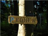
The path in the direction of Dom na Smrekovcu continues straight ahead, while we go left in the direction of the summit of Komna, which we reach in approximately five minutes of increasingly panoramic walking.
Starting point - Hlipovec 0:15, Hlipovec - Komen 0:40.
Description and images refer to the conditions in June and July 2025.

Along the route: Hlipovec (1453m)
Photos:
 1
1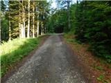 2
2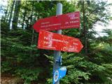 3
3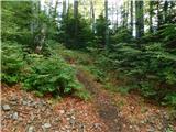 4
4 5
5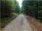 6
6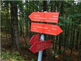 7
7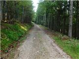 8
8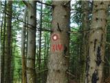 9
9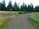 10
10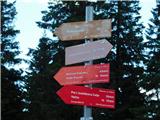 11
11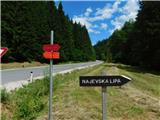 12
12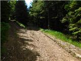 13
13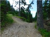 14
14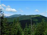 15
15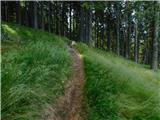 16
16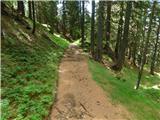 17
17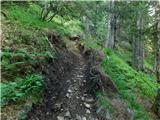 18
18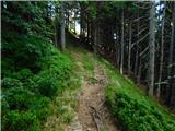 19
19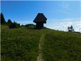 20
20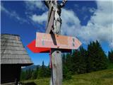 21
21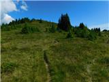 22
22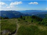 23
23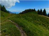 24
24 25
25 26
26
Discussion about the trip Pod Hlipovcem - Komen
To post a comment you must log in:
If you do not yet have a username, you must first
register.