Hotedršica - Sveti Urh (Zavratec)
Starting point: Hotedršica (546 m)
| Latitude/Longitude: | 45,93810°N 14,14010°E |
| |
Walking time: 2 h 5 min
Difficulty: easy marked way
Elevation gain: 178 m
Elevation difference along the route: 215 m
Map:
Recommended equipment (summer):
Recommended equipment (winter):
Views: 1.220
 | 2 people like this post |
Access to starting point:
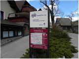
From the Ljubljana - Koper motorway we head towards the Logatec exit and then continue driving towards Idrija. In the village of Hotedršica, just a few 10 m after a small bridge we continue right (not immediately after the bridge), where we will see an information board "po poteh dediščine, od Idrijce do Kolpe" by the road. We continue driving in the direction of Žejne Doline, but we follow the road for a few 100 m to a small intersection near which we park in a suitable place by the road
We can also reach the starting point from the direction of Col and Idrija. In this case we first drive to Godovič and then continue driving towards Logatec. When we reach Hotedršica we continue left. We follow the description above.
Route description:
From the place where we parked we continue along the lower road, which then continues along the stream Željska voda. After a few minutes we reach a somewhat larger intersection, where we continue slightly left and continue the path along the road that almost imperceptibly ascends along the aforementioned stream, which we also cross a little further on. The road then continues across a larger meadow and then leads us to the edge of the forest, where we continue left. The road then begins to ascend more noticeably and leads us past an old boundary stone marking the old Rapallo border between Italy and Yugoslavia to a solitary house, after which the path turns into a denser forest.
We follow the road for only a few 10 steps further, then the markings direct us right onto a cart track that begins to ascend moderately through the forest. Higher up the cart track turns slightly to the left, leading us out of the forest onto scenic grassy slopes. Here the path levels out again and after a few minutes of easy walking leads us to a solitary farm, where we step back onto the road. We follow the mentioned road to the right, which quickly leads us to a left bend, after which we see markings directing us onto an ascending cart track. We continue the ascent along a very scenic grassy slope, following it all the way to the church of sv. Katarine on Medvedje Brdo. We continue along the asphalted road that leads us past the house Medved and follow it for a few minutes to a small intersection, where we continue sharply right. Only a few more minutes of walking follow and the path leads us to Šinkovcov grič, on which stands a viewing plaque.
From the summit we return to the asphalt road and then at the last intersection continue straight. A short descent follows to an intersection by a chapel, where we continue left. We continue the path along a somewhat wider road that leads us past the fire station and after it, with beautiful views, we quickly reach the next intersection, where we continue right in the direction of Zavratec and Vrh Sv. Treh Kraljev. The path ahead leads us along a gravel road, which soon splits into two parts.
The marked path towards Vrh Sv. Treh Kraljev continues along the right road, but we continue along the left road in the direction of the villages Zavratec and Potok. A somewhat steeper descent of a few minutes follows, after which we reach the small village of Potok, where the road becomes asphalted again. In the village the road levels out completely and leads us past a few houses and mainly across meadows. On the other side of the village the road enters the forest, where for a short time it descends gently along a nearby streamlet, then begins to ascend in front of a solitary house. When the road levels out a few minutes higher up, we arrive at a sports field and a few 10 steps further we reach the village of Zavratec. A short descent follows and the road leads us to the church of sv. Urha on Zavratcu.
Hotedršica - Medvedje Brdo 1:20. Medvedje Brdo - Zavratec 45 minutes.

Photos:
 1
1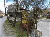 2
2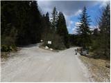 3
3 4
4 5
5 6
6 7
7 8
8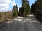 9
9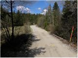 10
10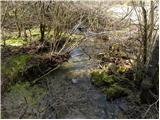 11
11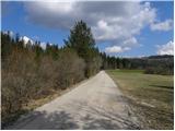 12
12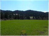 13
13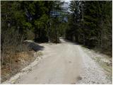 14
14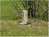 15
15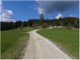 16
16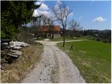 17
17 18
18 19
19 20
20 21
21 22
22 23
23 24
24 25
25 26
26 27
27 28
28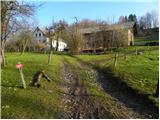 29
29 30
30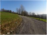 31
31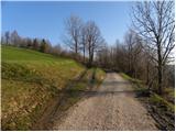 32
32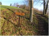 33
33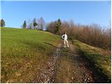 34
34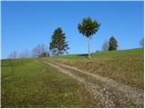 35
35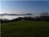 36
36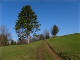 37
37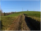 38
38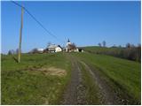 39
39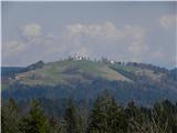 40
40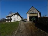 41
41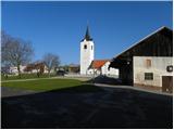 42
42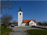 43
43 44
44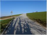 45
45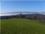 46
46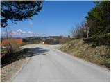 47
47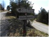 48
48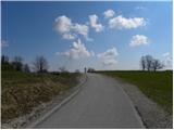 49
49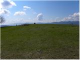 50
50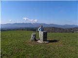 51
51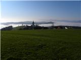 52
52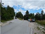 53
53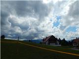 54
54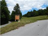 55
55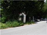 56
56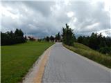 57
57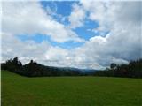 58
58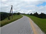 59
59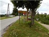 60
60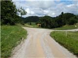 61
61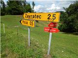 62
62 63
63 64
64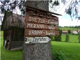 65
65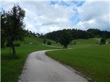 66
66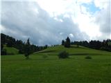 67
67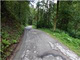 68
68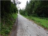 69
69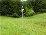 70
70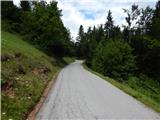 71
71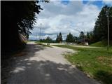 72
72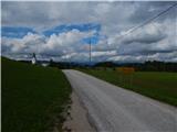 73
73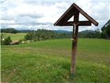 74
74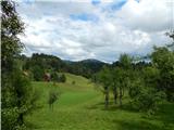 75
75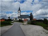 76
76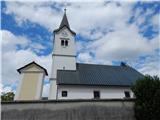 77
77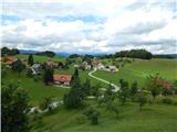 78
78
Discussion about the trip Hotedršica - Sveti Urh (Zavratec)
To post a comment you must log in:
If you do not yet have a username, you must first
register.