Hotel Boka - Velika Baba (Kanin)
Starting point: Hotel Boka (400 m)
| Latitude/Longitude: | 46,31570°N 13,49439°E |
| |
Walking time: 5 h 40 min
Difficulty: partly demanding unmarked way, partly demanding marked way
Elevation gain: 1748 m
Elevation difference along the route: 1780 m
Map: Julijske Alpe - zahodni del 1:50.000
Recommended equipment (summer):
Recommended equipment (winter): ice axe, crampons
Views: 202
 | 3 people like this post |
Access to starting point:
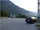
From Bovec, we drive towards Kobarid or vice versa. Before the bridge Boka (from the direction of Kobarid after the bridge) is a parking lot on which we park. There is also a designated parking area at the nearby Hotel Boka, which is located approximately 100 meters from the bridge in the direction of Kobarid.
Route description:
If we park in the parking lot at Hotel Boka, we continue from the parking lot towards the Boka waterfall along the footpath that bypasses the hotel on the left side. The path leads us through a short stretch of forest to a bridge where we cross the main road. On the other side of the road we continue along the footpath, follow the signs for the viewpoint and soon turn left. The path starts to ascend through the forest and brings us to a well-maintained vantage point that offers a breathtaking view of the Boka waterfall. Information boards are also set up at this spot.
From the vantage point we continue along the footpath through the forest, which ascends relatively steeply. From the left, the path from the village of Žaga joins us. Further on, several paths leading upwards occasionally appear. If we stick to the right-hand paths, the view of the Boka waterfall opens up several times. Caution is required when observing the waterfall, as the slope on the northern side is precipitous. The path leads mostly through the forest, but occasionally views open towards the Boka waterfall and the Soča valley. At an altitude of approximately 750 metres we reach a junction where a dead-end path first branches off to the right. A few metres further on there is another junction. This time another path branches off to the right, leading to the last vantage point overlooking the Boka waterfall. It is only a few minutes walk to the vantage point.
If we visit the vantage point, we return to the mentioned junction and continue along the left path, which first descends slightly and brings us to an unmarked junction. The path to the left downwards leads back to the starting point, straight ahead leads to the village of Žaga, while we head right upwards along the path that leads towards the Baban mountain pasture. The path ascends through the forest almost straight upwards and brings us to a slightly better-trodden trail that traverses the slope. We continue left (the right path ends quickly) along the trail that runs past rocky barriers and continues to ascend through the forest. Soon we join a somewhat wider mule track along which we climb for quite some time. We walk through the forest the whole time, so there are almost no views from the path. Here and there, if we step off the path, a view of the Soča river valley occasionally opens up.
Higher up we join the path from the village of Žaga, which is marked but the blazes are rare and heavily faded. We continue to the right, and the path soon brings us to the quite overgrown Baban mountain pasture. At the mountain pasture we leave the mule track, where a faded inscription on the rock directs us left onto a grassy slope where the path is not clearly visible. All that remains is a traversing ascent across the slightly overgrown pasture to the hut that we can already see ahead.
From the hut we walk back a few metres and beside the path we can spot a faded blaze and arrow on a rock that directs us diagonally across a grassy slope. From the pasture we then turn left and head towards a small valley that runs northwest. The path through the grassy valley is mostly invisible; only here and there we may notice a faded blaze. For most of the time the path runs along the right side of the valley and continually ascends west-northwest towards the slopes of Velika Baba, which we can see in the background. When we are very close to the slopes of Velika Baba, the path turns slightly right towards the north and ascends through a narrower valley on the southeastern side of Velika Baba.
We continue ascending through the small valley upwards, and to the left a poorly visible footpath branches off here, marked with cairns, leading towards the saddle Med Babo between Mala Baba and Velika Baba.
We continue ascending straight towards the north and the footpath becomes slightly more visible. Here we ascend below the steep eastern slopes of Velika Baba. Later the slope becomes somewhat less steep and more scattered with rocks and boulders. Such a path then brings us to a junction shortly before the saddle Med Baban, where we join the Italian path.
We continue to the left and follow the Italian blazes. Here the path first ascends diagonally across the slope, followed by a few shorter steeper sections. The path then turns slightly to the right and continues with an ascent towards the ridge. We continue left and there is one more ascent along the panoramic ridge to the summit.

Photos:
 1
1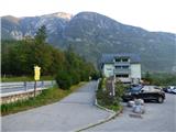 2
2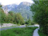 3
3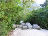 4
4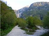 5
5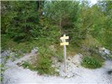 6
6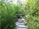 7
7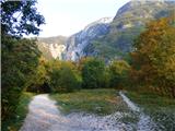 8
8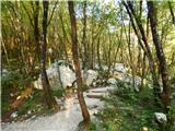 9
9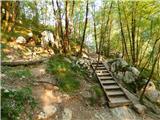 10
10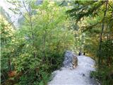 11
11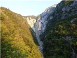 12
12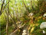 13
13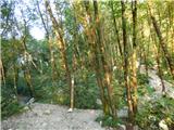 14
14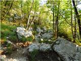 15
15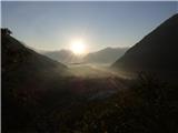 16
16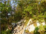 17
17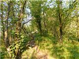 18
18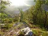 19
19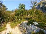 20
20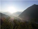 21
21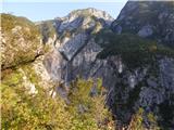 22
22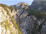 23
23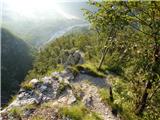 24
24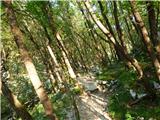 25
25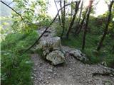 26
26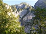 27
27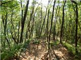 28
28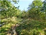 29
29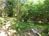 30
30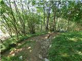 31
31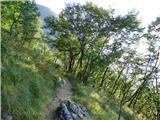 32
32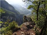 33
33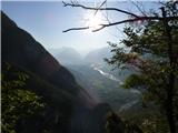 34
34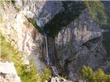 35
35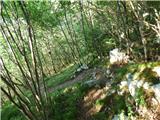 36
36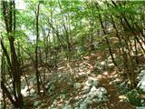 37
37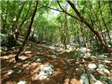 38
38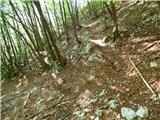 39
39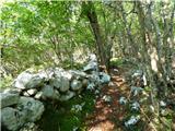 40
40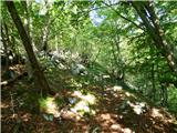 41
41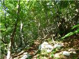 42
42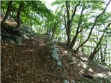 43
43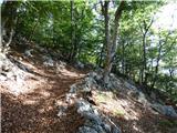 44
44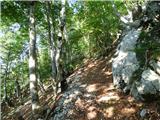 45
45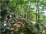 46
46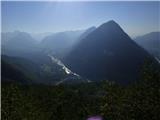 47
47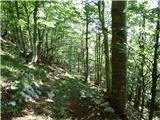 48
48 49
49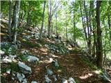 50
50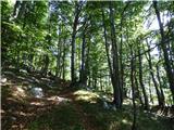 51
51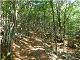 52
52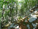 53
53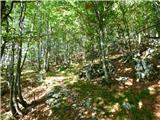 54
54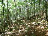 55
55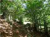 56
56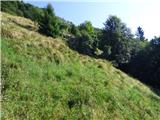 57
57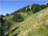 58
58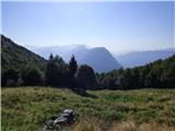 59
59 60
60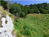 61
61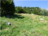 62
62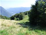 63
63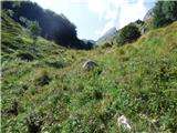 64
64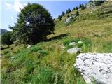 65
65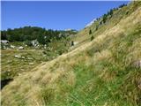 66
66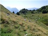 67
67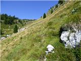 68
68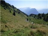 69
69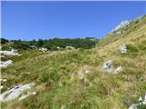 70
70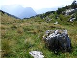 71
71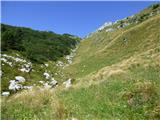 72
72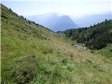 73
73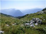 74
74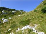 75
75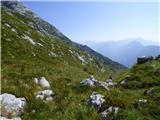 76
76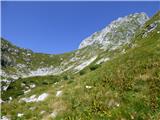 77
77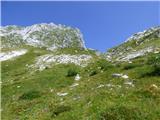 78
78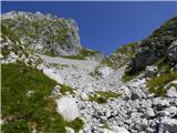 79
79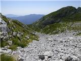 80
80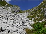 81
81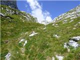 82
82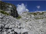 83
83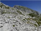 84
84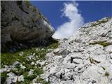 85
85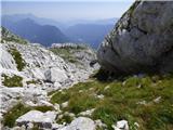 86
86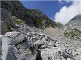 87
87 88
88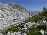 89
89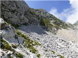 90
90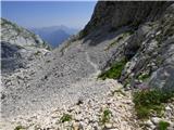 91
91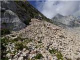 92
92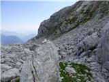 93
93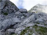 94
94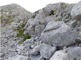 95
95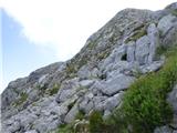 96
96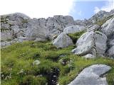 97
97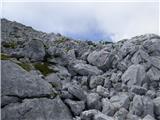 98
98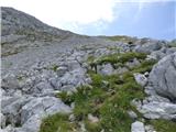 99
99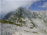 100
100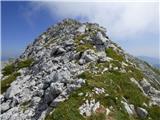 101
101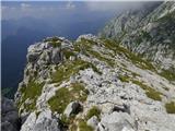 102
102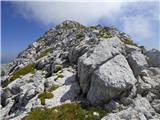 103
103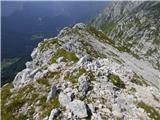 104
104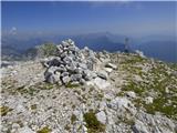 105
105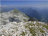 106
106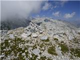 107
107
Discussion about the trip Hotel Boka - Velika Baba (Kanin)
To post a comment you must log in:
If you do not yet have a username, you must first
register.