Starting point: Hrpelje (480 m)
| Latitude/Longitude: | 45,60020°N 13,94680°E |
| |
Walking time: 2 h 30 min
Difficulty: easy marked way
Elevation gain: 235 m
Elevation difference along the route: 400 m
Map: Slovenska Istra - Čičarija, Brkini in Kras 1:50.000
Recommended equipment (summer):
Recommended equipment (winter):
Views: 4.802
 | 1 person like this post |
Access to starting point:
From the highway Ljubljana - Koper we go to the exit Kozina and follow the road ahead in the direction of Reka. In Hrpelje we notice the sign with the inscription "gostilna na Vasi", which points us right onto the street D. Benčiča-B. We follow this road to the mentioned inn behind which we turn right. At the end of the village, we continue on a macadam road alongside which we also park (we follow the marked road).
Route description:
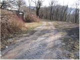
From the starting point, we continue on a marked road which quickly changes into at first a wide cart track. After a few minutes of walking, the cart track splits into two parts, and we continue on the right in the direction of Slavnik. The path which runs on a cart track surrounded by bushes after a time starts ascending and higher brings us to a nice viewpoint beside which there is also a pleasant bench.
Further, the path returns into the forest and continues in a diagonal ascent all the way to a marked junction. Here we continue straight in the direction of Slavnik (right Hrpeljska gora) on the path which higher joins the forest road and only a little further brings us to the next junction. We still continue in the direction of Slavnik (right hunting lodge below Glavica and Hrpeljska gora) on a relatively gentle road which after a few minutes of additional walking brings us to the hunting cottage Pri Lipi.
We continue walking on the road which with some shorter ascents and descents brings us to a marked junction right next to the mountain pasture Jegno. Here we continue left (right Slavnik) and after less than 5 minutes of additional walking we arrive at the mountain pasture Jegno on which stand some mostly decaying cottages.

Along the route: Koča pri Lipi (715m)
Photos:
 1
1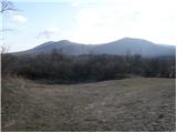 2
2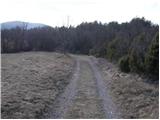 3
3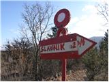 4
4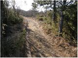 5
5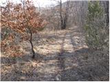 6
6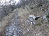 7
7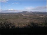 8
8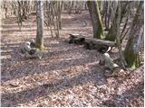 9
9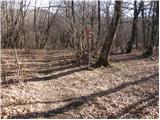 10
10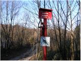 11
11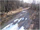 12
12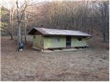 13
13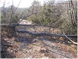 14
14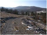 15
15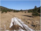 16
16 17
17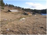 18
18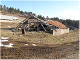 19
19
Discussion about the trip Hrpelje - Planina Jegno
To post a comment you must log in:
If you do not yet have a username, you must first
register.