Idrija - Hleviška planina (hunting path)
Starting point: Idrija (325 m)
| Latitude/Longitude: | 46,00080°N 14,02490°E |
| |
Route name: hunting path
Walking time: 1 h 45 min
Difficulty: easy marked way
Elevation gain: 583 m
Elevation difference along the route: 583 m
Map: Nanos 1:50.000
Recommended equipment (summer):
Recommended equipment (winter):
Views: 24.196
 | 2 people like this post |
Access to starting point:
a) First we drive to Logatec, then continue driving towards Idrija. When we arrive in Idrija we pay attention, as at the main intersection we leave the main road leading towards Tolmin and turn left towards the city center. We can park to the left of the main bus station, or in the parking lot above the bus station – above the Spar store.
b) From Most na Soči or Podbrdo we drive to Bača pri Modreju, then continue driving towards Idrija. When we arrive in Idrija we pay attention, as at the main intersection we leave the main road leading towards Logatec and turn right towards the city center. We can park to the left of the main bus station, or in the parking lot above the bus station – above the Spar store.
Route description:
From the parking lot we continue along the road that continues through the center of Idrija. After a short walk through the town, we arrive at an intersection where we continue left in the direction of Čekovnik and Vojsko. The road that begins to ascend slightly further on takes us a little higher to the next intersection. We continue in the already known direction towards Čekovnik and Vojsko, but we follow the somewhat steeper road to the next intersection, where we notice signs for Hleviška planina.
Here the road sign for Hleviška planina points left, but we continue right towards Vojsko. From the intersection we follow the road towards Vojsko for another 60 m, then turn left onto a narrow and steep road, which quickly takes us above Idrija. At the last houses in Čopičeva ulica we get a nice view of a large part of the town, and the road turns into a cart track, which we follow up to the nearby forest road.
We reach the road at a small chapel, where there is also a junction of several paths. We continue right (straight along the road forest path Pšenk), where we are immediately at the next junction.
Here we continue left uphill on the steep path with markings - hunting path (straight along the road - Hleviška planina via Kodrov rovt). The path ahead begins to ascend steeply through the forest, but soon levels out. This is followed by a transverse ascent to the left, where after a few minutes we reach a relatively new logging road, which takes us to a junction of several cart tracks. At the mentioned junction we continue right onto a wide footpath, which continues to ascend moderately through the forest. The path ahead leads us across a patch of wild garlic and past a bench, further to the left. Higher up we reach an indistinct ridge, where the path turns slightly to the right and becomes somewhat steeper. After a short steep ascent we reach a poorer forest road, which we follow to the right. A little higher we join a wider gravel road, which quickly takes us to a marked junction where the path via Kodrov rovt joins us.
Here we continue straight and follow the path along the road closed to public traffic. We follow this road, which soon takes us out of the forest, all the way to the Koča na Hleviški planini, which we reach after a good 5 minutes of further walking.
From the hut we continue in the direction of Hleviška planina and continue the ascent along the path that turns into forest and begins to ascend steeply. The path ahead initially leads along the edge of the ridge, then gradually turns into a small valley, where it also levels out and along which we ascend to the summit of Hleviška planina.

The trip can be extended to the following destinations: Vojsko
Photos:
 1
1 2
2 3
3 4
4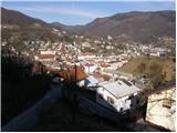 5
5 6
6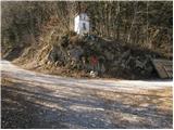 7
7 8
8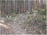 9
9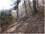 10
10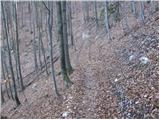 11
11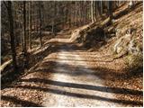 12
12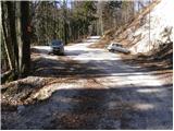 13
13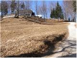 14
14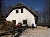 15
15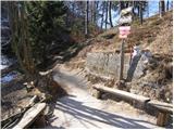 16
16 17
17 18
18 19
19
Discussion about the trip Idrija - Hleviška planina (hunting path)
|
| Kokta25. 02. 2012 |
Wonderful day for visiting Hleviška planina. The path is well marked. Fine žlinkrofi in the hut. A little snow still on the top, otherwise spring is already felt  Stamp in the hut. Stamp in the hut.
|
|
|
|
| Janiel7417. 03. 2012 |
Žlikrofi in the stomach..stamp in the booklet The path is really cool. Up via the hunting path, down via Kodrov rov... (-49)
|
|
|
|
| majasvagelj22. 09. 2014 |
Just for info - the stamp is also located behind the hut, on the woodshed wall.
(I went up via K. rovtu, down via hunting path - there are still traces (this year's) ice on this path.)
|
|
|
To post a comment you must log in:
If you do not yet have a username, you must first
register.