Ivarčko jezero - Koča na Naravskih ledinah
Starting point: Ivarčko jezero (663 m)
| Latitude/Longitude: | 46,50660°N 14,96890°E |
| |
Walking time: 1 h 45 min
Difficulty: easy marked way
Elevation gain: 409 m
Elevation difference along the route: 420 m
Map: Koroška 1:50.000
Recommended equipment (summer):
Recommended equipment (winter):
Views: 2.620
 | 1 person like this post |
Access to starting point:
A) From the Ljubljana–Maribor highway, take the Žalec exit, then continue driving in the direction of Velenje, Mislinja and Slovenj Gradec. In Slovenj Gradec at the traffic light (traffic light at the Lidl store) turn left, then at the crossroads follow the road in the direction of Ravne na Koroškem and Kotlje. From Slovenj Gradec the road ascends for a few kilometers, then descends to Kotlje, where at the crossroad we continue left towards Ivarčko jezero (right Ravne na Koroškem). Further, follow a somewhat narrower road in the direction of Ivarčko jezero (also ski slope Ivarčko-Ošven), near which we also park on one of the several arranged parking spots.
B) From Koroška first drive to Ravne na Koroškem, then continue driving towards the place Kotlje. From Kotlje onwards follow the signs for Ivarčko jezero and ski slope Ivarčko-Ošven. Park on the parking lot by the lake, or. on the parking lot by the ski slope.
Route description:
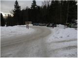
From the parking lot, we first walk to the nearby roundabout and from there continue to the lower station of the 4-seat chairlift. On the other side of the ski slope, we step on the road, which in a gentle ascent brings us to a smaller hamlet. We walk among the houses, and a somewhat narrower road quickly brings us to an intersection, where we join a wider asphalt road, which we follow to the left. The road further ascends through a panoramic hayfield, then brings us to the edge of the forest, where there is a smaller intersection and next to it NOB monument.
We continue straight on the asphalt road, which higher turns to the right and crosses the bed of the Suha stream. Just a few meters after the bridge, a marked path branches off to the left, which further ascends along the edge of the forest, higher passes into dense forest and after a few minutes returns to the road. The road further ascends on the right side of the gully (looking in the direction of ascent), and we walk on it to the spot where the gully flattens. At this spot, we will notice on the left side a smaller wooden bridge, which we cross and continue the path on the cart track, which first gently ascends to the left, then turns to the right and gradually disappears. We continue along the edge of the forest and follow the poorly marked path to the arrival on the asphalt road (to here also possible by road). We follow the road uphill, which quickly brings us to a marked intersection, where we continue right in the direction of Uršlja gora. We continue the path on the road leading towards Naravske Ledine, and we follow it past the turn-off to the left, where we continue straight, to the mountain direction signs for Uršlja gora over Kozji hrbet.
Also from the mentioned junction we still walk on the road, which gradually approaches the bed of the Suhega potoka stream. A little further, first the path from Ravne na Koroškem joins us from the right, a little further also the path from Mežica (path past the Godec farm).
Both times we continue straight, and we follow the main road all the way to the turn-off for Koča na Naravskih ledinah. Here we continue right and descend in a few tens of meters to the mentioned mountain hut.

Photos:
 1
1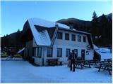 2
2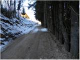 3
3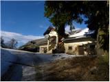 4
4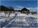 5
5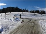 6
6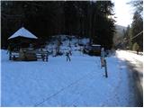 7
7 8
8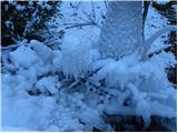 9
9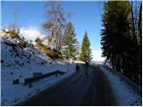 10
10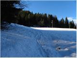 11
11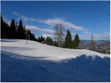 12
12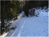 13
13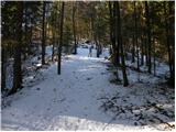 14
14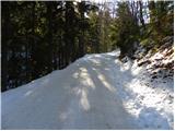 15
15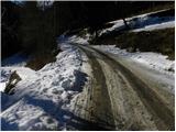 16
16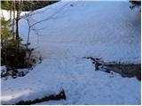 17
17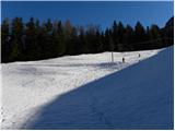 18
18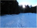 19
19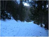 20
20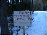 21
21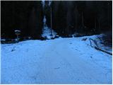 22
22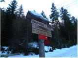 23
23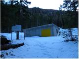 24
24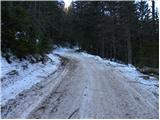 25
25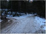 26
26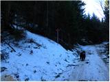 27
27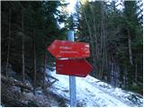 28
28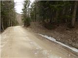 29
29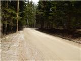 30
30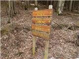 31
31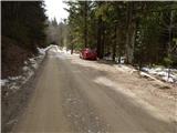 32
32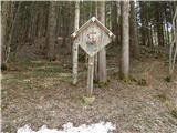 33
33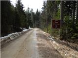 34
34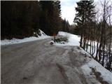 35
35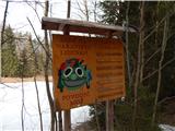 36
36 37
37 38
38
Discussion about the trip Ivarčko jezero - Koča na Naravskih ledinah
To post a comment you must log in:
If you do not yet have a username, you must first
register.