Izlake - Zabreznik (Sv. Miklavž) (via Loke)
Starting point: Izlake (280 m)
Path name: via Loke
Time of walking: 1 h
Difficulty: easy unmarked way
Difficulty of skiing: no data
Altitude difference: 364 m
Altitude difference (by path): 365 m
Map:
Access to starting point:
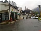
A) From the direction Ljubljana or Maribor on the highway, we go to the exit Trojane, Izlake, Zagorje, Trbovlje and we follow the road ahead on Trojane hill downwards through the village Orehovica to Izlake. At the first ground marked crossroad, we turn left and we park in the center of the settlement at Tuš market Ajda, which is situated opposite the apartment blocks.
B) From the direction of Zagorje ob Savi we drive to Izlake, past Petrol gas station and factory ETI, past the primary school and at the next crossroad, we turn right and we park at Tuš market Ajda.
Path description:
At the starting point, we go left on the road, where there are also trail blazes, which lead towards Čemšeniška planina. We follow the asphalt road past the turn-off for cemetery (starting point for Zabreznik via Zg. Izlake) straight, to a hamlet Loke, where at the crossroad we turn right upwards. After approximately fifty meters we again come to a crossroad at which we again turn right upwards and we follow the asphalt forest road all the way to a "quarry", where we need to pay attention, because the path soon brings us into the forest. At the next turn-off from the quarry ahead we turn right from the asphalt road in the forest, where we immediately get to two crossings, practically one after the other. Both times we stick to the left path. We start slowly ascending through a ditch to a small clearing, where there stands also a hunting observatory. We follow the footpath upwards all the way to benches, which serves us at a short rest and where the path on Zabreznik through Zgornje Izlake joins. We then follow the footpath straight upwards towards the rocks. The path is moderately ascending and after some time brings us to the top of the ridge. We follow the path straight, at the gentle descent we pay attention to bivouac, which is situated on the right side and is a little hidden. After few ten additional meters we get to a clearing, and behind it there is the church of St. Miklavž. The clearing is appropriate for summer picnics and offers a nice view towards the northern neighbouring hills.
We can also extend the path to the castle Gamberk or even to Čemšeniška planina.
Pictures:
 1
1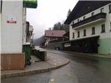 2
2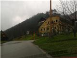 3
3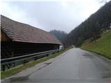 4
4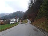 5
5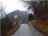 6
6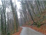 7
7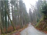 8
8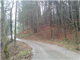 9
9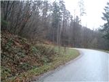 10
10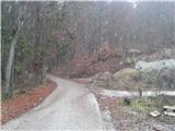 11
11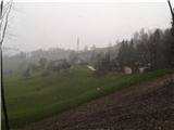 12
12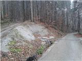 13
13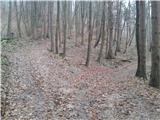 14
14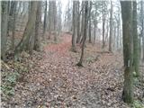 15
15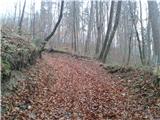 16
16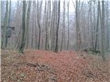 17
17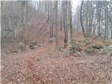 18
18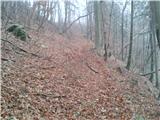 19
19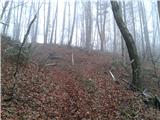 20
20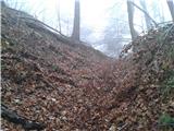 21
21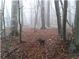 22
22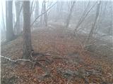 23
23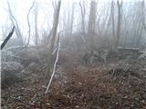 24
24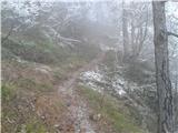 25
25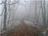 26
26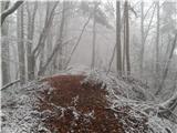 27
27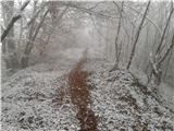 28
28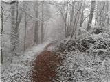 29
29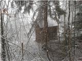 30
30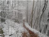 31
31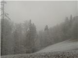 32
32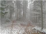 33
33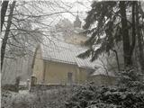 34
34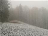 35
35