Jamarska koča pri Hudi Luknji - Aljažev stolp v Završah
Starting point: Jamarska koča pri Hudi Luknji (485 m)
| Latitude/Longitude: | 46,41183°N 15,17709°E |
| |
Walking time: 1 h 40 min
Difficulty: partly demanding marked way
Elevation gain: 318 m
Elevation difference along the route: 370 m
Map:
Recommended equipment (summer): helmet
Recommended equipment (winter): helmet, ice axe, crampons
Views: 225
 | 1 person like this post |
Access to starting point:
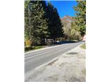
a) Arrive in Velenje and continue towards Slovenj Gradec and Dravograd. Before the entrance to the Huda Luknja gorge, we will notice hiking signs at the bus stop and a small parking lot where we park.
b) From the direction of Dravograd and Slovenj Gradec, follow the signs for Velenje; immediately after the Huda Luknja gorge, we will notice hiking signs at the bus stop and a small parking lot where we park.
Route description:
From the parking lot, continue slightly uphill, initially along a cycle path; before the tunnel, go left downhill to the Huda Luknja cave.
Continue right and return to the Velenje - Slovenj Gradec road, proceeding north past a monument. A bit further, leave the road left onto a stepped path, steeply ascending the slope; higher up, quickly reach under the cliffs, where especially after rain and in spring months there is increased danger of falling rocks, and on sections built steps help in continuation.
Higher, the path leads past the Špehovka cave, after which the path flattens, though not the slope.
Follows a somewhat exposed traverse; after a short descent, arrive at the Pilanca cave.
From Pilanca, ascend under the cliffs; after some zigzags, the path flattens but remains exposed. Soon reach the most difficult part of the trail, descending on a slippery surface along an exposed slope with a net beside the path.
The path continues across a wooden footbridge; after it, gradually reach a clearing where the path is somewhat overgrown, especially during lush vegetation. On the clearing, the path turns west and ascends built steps.
Follows a short descent, exit the forest, and continue on a well-maintained road in a long uphill bend.
Here, markers are quite sparse.
The path leads to a junction, returning to the forest for a short steep ascent; higher, leave the forest again and arrive at the school in Završe village.
Behind the school, the path passes the NOB monument, then reaches the church of St. Vitus, offering a fine view in all directions.
From the St. Vitus church, continue slightly downhill to the hunting hut. The path gradually ascends further to the highest point of our trail, the church of St. Rupert, near which is the Meh inn for rest.
From there, five more minutes west to our goal. First, the path passes the Legenska chapel; at the junction by the Višner farm, spot our destination ahead, a small replica of the Aljaž Tower.
A little further is Višnerski vrh, but it is in the forest with no view.

Photos:
 1
1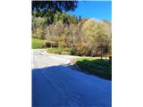 2
2 3
3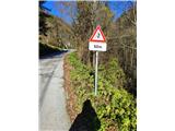 4
4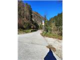 5
5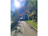 6
6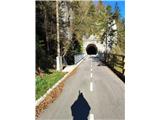 7
7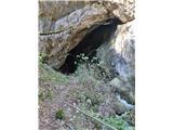 8
8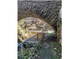 9
9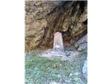 10
10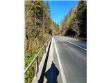 11
11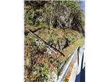 12
12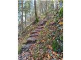 13
13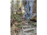 14
14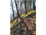 15
15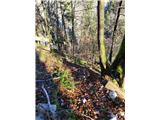 16
16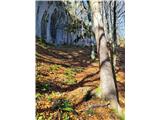 17
17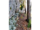 18
18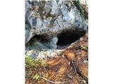 19
19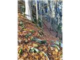 20
20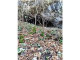 21
21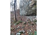 22
22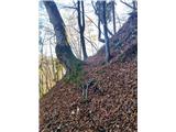 23
23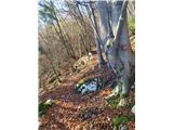 24
24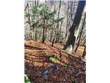 25
25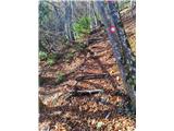 26
26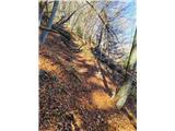 27
27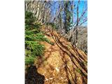 28
28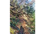 29
29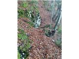 30
30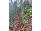 31
31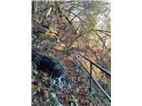 32
32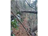 33
33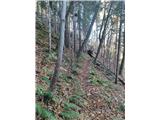 34
34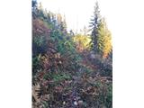 35
35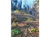 36
36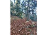 37
37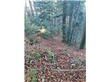 38
38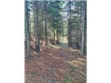 39
39 40
40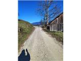 41
41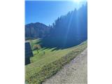 42
42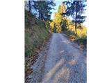 43
43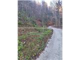 44
44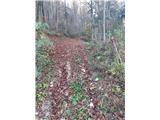 45
45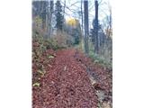 46
46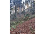 47
47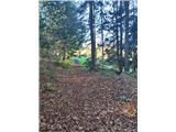 48
48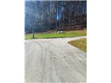 49
49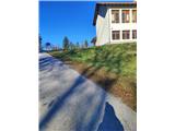 50
50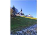 51
51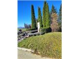 52
52 53
53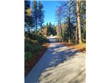 54
54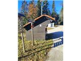 55
55 56
56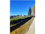 57
57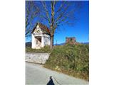 58
58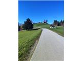 59
59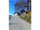 60
60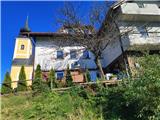 61
61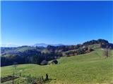 62
62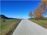 63
63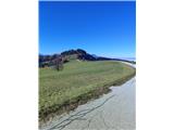 64
64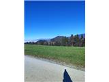 65
65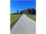 66
66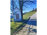 67
67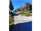 68
68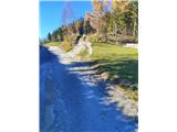 69
69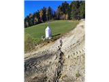 70
70
Discussion about the trip Jamarska koča pri Hudi Luknji - Aljažev stolp v Završah
To post a comment you must log in:
If you do not yet have a username, you must first
register.