Janževski Vrh (Uran) - Ribnica na Pohorju
Starting point: Janževski Vrh (Uran) (435 m)
| Latitude/Longitude: | 46,55570°N 15,32340°E |
| |
Walking time: 1 h 40 min
Difficulty: easy marked way
Elevation gain: 280 m
Elevation difference along the route: 300 m
Map: Pohorje - izletniška karta 1:50.000
Recommended equipment (summer):
Recommended equipment (winter): ice axe, crampons
Views: 1.010
 | 2 people like this post |
Access to starting point:
From the road Maribor - Dravograd, before the settlement Brezno we turn left (from the direction of Dravograd right) in the direction of Podvelka, Ribnica na Pohorju and Ribniške koče. After the bridge over the river Drava we arrive in Podvelka, and we follow the road further in the direction of Ribnica na Pohorju. The path ahead brings us to the settlement Janževski Vrh, and through the valley of the stream Velka we drive to the crossroads at the inn and store Uran, where a road branches off to the left towards Lovrenc and Lehen na Pohorju. We park on a smaller arranged parking lot at the crossroads.
Route description:
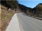
From the parking lot, we continue along the main road towards Ribnica na Pohorju. Already after 100 meters a marked path to Janževski vrh branches off to the right, and we continue on the road which leads us past the smithy Pri Kovaču and the chapel. The settlement Janževski Vrh soon ends, and along the main road we continue for quite some time. At a few smaller crossroads we continue straight, and when the marked path turns right into Slivniški jarek we leave the main road and continue right towards Pesnik.
The path ahead leads us along a gently sloping macadam road which runs by the stream Slivnica, at the marked crossroads we go left, again towards Pesnik. Next follows a somewhat steeper ascent, higher some views also open up on the surrounding hills. Higher at a few crossroads we follow the markings, and then on the right side we bypass the church of St. Lenart, which is located above the cemetery and is approximately 2 minutes distant from the path. The path ahead leads us past a few more chapels, and then we return to the main road, which we follow to the right. Somewhat further from the crossroads we already arrive in Ribnica na Pohorju, to the center of the village only a few minutes of easy walking remain.
Description and pictures refer to the condition in the year 2019 (March).

Along the route: Sv. Lenart (697m)
Photos:
 1
1 2
2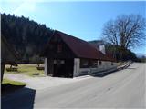 3
3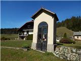 4
4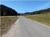 5
5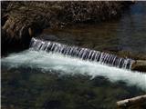 6
6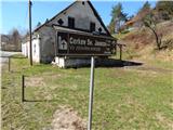 7
7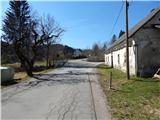 8
8 9
9 10
10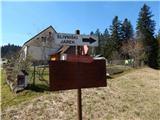 11
11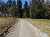 12
12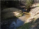 13
13 14
14 15
15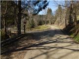 16
16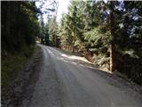 17
17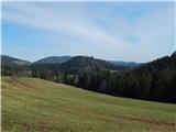 18
18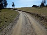 19
19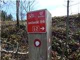 20
20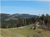 21
21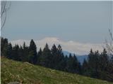 22
22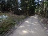 23
23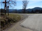 24
24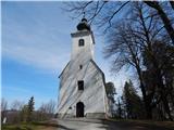 25
25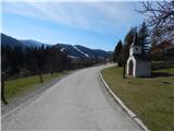 26
26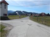 27
27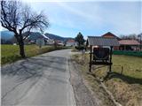 28
28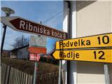 29
29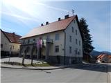 30
30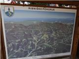 31
31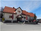 32
32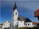 33
33
Discussion about the trip Janževski Vrh (Uran) - Ribnica na Pohorju
To post a comment you must log in:
If you do not yet have a username, you must first
register.