Starting point: Jasen (422 m)
| Latitude/Longitude: | 45,55820°N 14,26290°E |
| |
Walking time: 1 h
Difficulty: easy unmarked way
Elevation gain: 377 m
Elevation difference along the route: 377 m
Map: Snežnik 1:50.000
Recommended equipment (summer):
Recommended equipment (winter):
Views: 3.484
 | 1 person like this post |
Access to starting point:
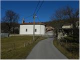
From the highway Ljubljana - Koper, we take the exit Postojna and follow the road ahead in the direction of Reka and Ilirska Bistrica. At the end of Ilirska Bistrica, we turn left towards the villages Jasen, Vrbovo, Vrbica, Jablanica and Trpčane. Already soon after Ilirska Bistrica, we arrive at the village Jasen, where we turn left towards the nearby church, where our path begins. At the starting point, there are no appropriate parking spots.
Route description:
By the church is a crossroads of several roads, and we head slightly right onto an ascending road, along which after a shorter ascent we arrive at a trough, only a few meters higher the asphalt ends. We continue on a macadam road that ascends above the village, and we walk along it to the cross and a little further to a marked junction, where we also notice the first, otherwise already quite faded signs for St. Ahac.
Here we leave the macadam road and continue the path right between pasture fences. At first we still ascend over a gentle and panoramic grassy slope, then the path transitions into a partly pine wood. Further we ascend through the forest, at junctions we follow the signs for St. Ahac. Higher up, a marked path from Črnih njiv joins from the left, and we continue right and after approximately 5 minutes of further walking arrive at the summit of Ahac.
Photos:
 1
1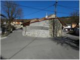 2
2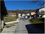 3
3 4
4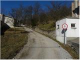 5
5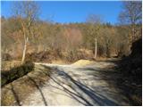 6
6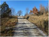 7
7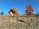 8
8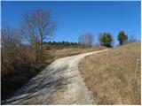 9
9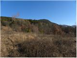 10
10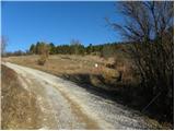 11
11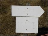 12
12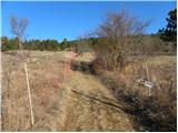 13
13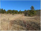 14
14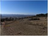 15
15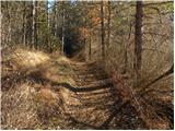 16
16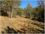 17
17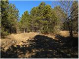 18
18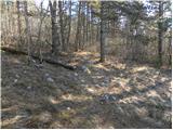 19
19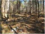 20
20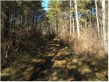 21
21 22
22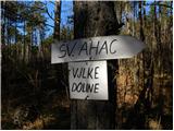 23
23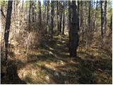 24
24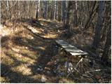 25
25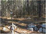 26
26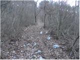 27
27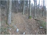 28
28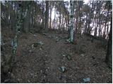 29
29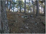 30
30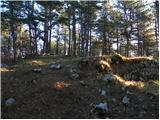 31
31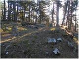 32
32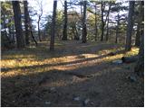 33
33 34
34
Discussion about the trip Jasen - Ahac
|
| bizgo9329. 03. 2021 |
Hikers most likely visit Ahac mostly from Črne njive or start from the road towards Sviščaki. If you want to spice up the trail a bit or sweat a little more, I recommend the path from Jasen.
The path is still officially unmarked, but locals or members of the mountaineering club have probably marked it very well with direction signs and improvised markings, so it's hard to miss.
The path itself steadily ascends all the way and has no severe steep sections, but it can still make you sweat quite a bit.
No major views due to the pine forest (about 1/4 of the way there is a view of part of the Reka valley and towards Čičarija and Brkini), but it's nice to walk through the fragrant pines too.
At the top there is an improvised logbook in a box, no stamp though - maybe in the future
|
|
|
To post a comment you must log in:
If you do not yet have a username, you must first
register.