Javorje - Gradovec (path over Glin)
Starting point: Javorje (1050 m)
| Latitude/Longitude: | 46,24960°N 13,86750°E |
| |
Route name: path over Glin
Walking time: 3 h 10 min
Difficulty: easy unmarked way
Elevation gain: 642 m
Elevation difference along the route: 710 m
Map: TNP 1:50.000
Recommended equipment (summer):
Recommended equipment (winter): ice axe, crampons
Views: 664
 | 1 person like this post |
Access to starting point:
From the Ljubljana - Jesenice highway, take the Lesce exit and follow the road towards Bled and further towards Bohinjska Bistrica and Lake Bohinj. After the settlement Laški Rovt, we will reach a smaller crossroads, where the road leading to the starting points of the paths to Rodica, mountain pasture Suha, Šija, Vogel... and the scout camp Laški Rovt branches off to the left. The macadam road immediately enters the forest and first ascends past the mentioned scout camp, then ascends relatively steeply for a few kilometres. After a little less than 6.5 km of driving on macadam, we will reach a somewhat larger crossroads, where the road towards mountain pasture Planina Storeča raven (starting point of the path to Vogel) branches off to the right. Here we continue straight and after approximately 50 m of further driving we arrive at the left bend, where the starting point of the path towards Planina Suha is. Park on a suitable place by the road.
Route description:
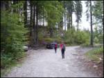
Near the parking lot, on the west side of the torrent we notice a marked footpath that leads towards Planina Suha. The path initially ascends on the right side of the torrent, then joins it. After a few steps on the torrential debris, the marked path turns right and levels out completely. The gentle walking is quickly interrupted by a steep ascent over a relatively steep slope. The steepness then eases somewhat and the well-marked path leads us through dense forest along and beside the torrent upwards. A little higher, the marked path moves away from the torrent to the left and rejoins it after a few minutes. The path, which then runs along the right side of the torrent, soon brings us out of the forest onto the spacious Planina Suha.
From the mountain pasture we continue briefly along the marked path towards the saddle Čez Suho, Rodica, Vogel and Šija, then, when we notice the torrent valley on the left, we leave the marked path and continue left into the mentioned valley, beside which we notice traces of a hunting trail. The short valley soon ends, and the path brings us onto grassy terrain, where the trail fades somewhat, but if we look ahead we will see the continuation of the hunting path, which shortly ahead ascends over a steep step. A wide path leads over the steep section, so there are no major difficulties on the ascent. When the steep part ends, the path turns right and continues with fine views reaching all the way to Triglav. For some time we walk along the easily followed hunting path, which soon forks into two parts. We choose the slightly left lower path (the right path leads towards the foot of nearby peaks such as Vrh Okroglice, Špik, Suharski Kosmatec and continues to fork several more times, leading to various places), which crosses the slopes towards the east. After a few minutes of crossing, a view opens towards the nearby hunting hut on Glin, to which we can arrive in a good 5 minutes of further walking if we leave the trail leading further towards Planina Poljana.
From the point where the poorer trail to the hunting hut branches off to the left, we continue crossing for some time, then gradually reach a deeper basin, where at the beginning of summer we may still encounter snow patches. The path ahead begins to ascend moderately along an old, partly overgrown mule track and leads us towards the pass south of Gradovec (1692 m). Just a few metres before reaching the mentioned pass, yet another of the numerous overgrown trails in the vicinity branches sharply right (along the mentioned trail, which is harder to follow than the one we took, we can also return to Planina Suha). At the pass, the path to the summit of Gradovec branches left, while straight ahead the path continues towards Planina Poljana.
At the mentioned pass there is usually a cairn directing us left onto the cleared path, which continues through a belt of dwarf pines. We then ascend first moderately, then quite steeply along the southern and increasingly panoramic ridge of Gradovec. With fine views of the mountains surrounding Bohinj, we quickly reach the panoramic summit, which is cleared just like the final section of the path.

Photos:
 1
1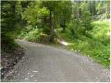 2
2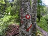 3
3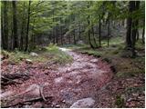 4
4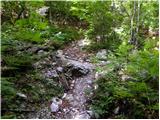 5
5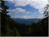 6
6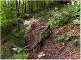 7
7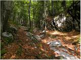 8
8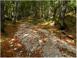 9
9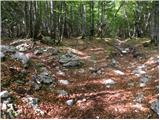 10
10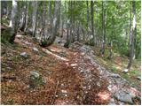 11
11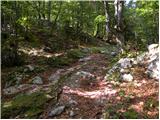 12
12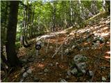 13
13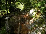 14
14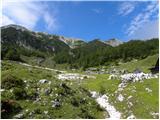 15
15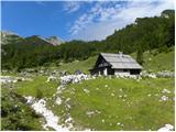 16
16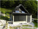 17
17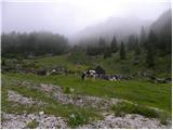 18
18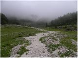 19
19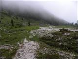 20
20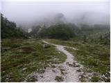 21
21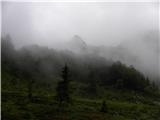 22
22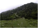 23
23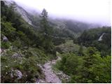 24
24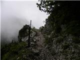 25
25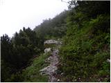 26
26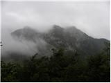 27
27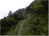 28
28 29
29 30
30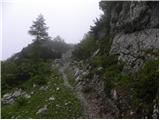 31
31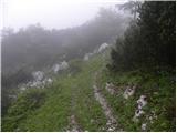 32
32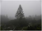 33
33 34
34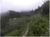 35
35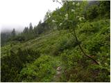 36
36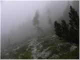 37
37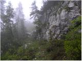 38
38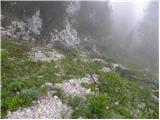 39
39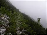 40
40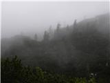 41
41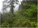 42
42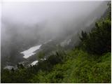 43
43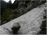 44
44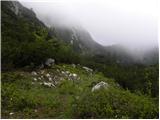 45
45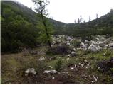 46
46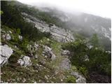 47
47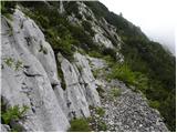 48
48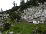 49
49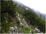 50
50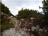 51
51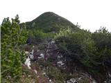 52
52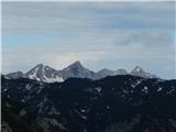 53
53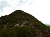 54
54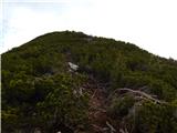 55
55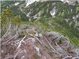 56
56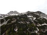 57
57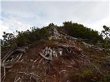 58
58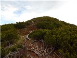 59
59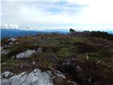 60
60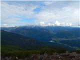 61
61 62
62
Discussion about the trip Javorje - Gradovec (path over Glin)
To post a comment you must log in:
If you do not yet have a username, you must first
register.