Javorje - Koprivnik (via Brdo)
Starting point: Javorje (698 m)
| Latitude/Longitude: | 46,15850°N 14,17740°E |
| |
Route name: via Brdo
Walking time: 2 h 20 min
Difficulty: easy marked way
Elevation gain: 695 m
Elevation difference along the route: 715 m
Map: Škofjeloško in Cerkljansko hribovje 1:50.000
Recommended equipment (summer):
Recommended equipment (winter): ice axe, crampons
Views: 1.050
 | 1 person like this post |
Access to starting point:
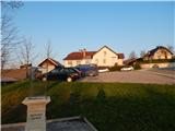
We drive to Poljane nad Škofjo Loko, from where at the traffic-light intersection we continue in the direction of the settlement Javorje. When Poljane ends, the road leads us through Volča, and after the mentioned settlement, the road starts ascending more steeply. Higher up, we also go through Dolenčice, and then we arrive in Javorje, where we park on the parking lot near the branch primary school Javorje.
Route description:
From the parking lot, in front of which we find some basic information about the Javorje meteorite (the Javorje meteorite is the 3rd found meteorite on the territory of Slovenia), we continue past the primary school, and behind the school signs point us to the left. Next follows an ascent on an asphalt footpath, and a little higher we return to the asphalt road, which we follow to the left. On the road, from which beautiful views open up, we quickly arrive at a marked intersection from which we continue right in the direction of Škofja Loka, Stari vrh and sv. Brikcija (left Blegoš, Žetina and church of the Assumption of Mary).
A few tens of meters further, the road once again splits, and we continue sharply left (straight Četena Ravan and Koča na Starem vrhu). The path ahead ascends past a few houses, and behind them the asphalt ends and we continue first on a macadam road, later on a cart track. At the junctions, we follow the yellow-green blazes, and the path leads us for a few minutes through the forest. When the forest ends, we reach a smaller hamlet, and we continue right in the direction towards Podvrh. Next follows a shorter ascent, and then the wide cart track flattens and with nice views on Mladi vrh and Stari vrh we reach the village Podvrh, where we go sharply left. We continue on a macadam road, and at the smaller chapel we go once again left. Next follows crossing of the panoramic section, and then the road passes into the forest and starts ascending diagonally.
Higher on the panoramic section, where there are several piles of sand, from the left also joins the path from the saddle Hlevišče, and we continue straight into the forest, where the path splits.
Slightly to the left continues the path Med gorami and the path to Koprivnik, and a little to the right leads the path to Mladi vrh.
We continue slightly left and continue on a worse macadam road, which for some time continues without major changes in altitude. A little further ahead, we continue slightly left, and when the road starts ascending, at the marked junction we continue on the road in the direction of Koprivnik (left Pot med gorami). After the junction the road turns right and then ascends diagonally to the saddle Brdo, where there is a marked junction.
We continue on the left road in the direction of Koprivnik (straight the road by which we can descend into Selška dolina or arrive at Zapreval, right on the marked path Mladi vrh), on it we walk to the place where the signs for Koprivnik direct us right onto a footpath, which starts ascending through the forest. The path ahead leads us on cart tracks, where at the junctions we follow the blazes, and higher from a few clearings a nice view opens up on the neighboring Mladi vrh. For some time we still walk on a relatively well-marked cart track, and then it changes into a footpath which through the last meadow takes us into the forest and a little further to the summit of Koprivnik.

Along the route: Murave (770m), Podvrh (937m), Brdo (1144m)
The trip can be extended to the following destinations: Mladi vrh
Photos:
 1
1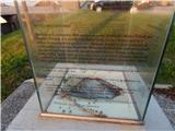 2
2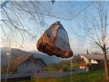 3
3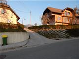 4
4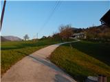 5
5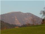 6
6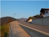 7
7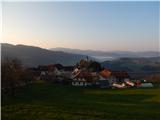 8
8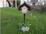 9
9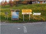 10
10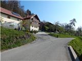 11
11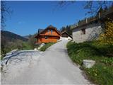 12
12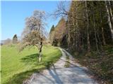 13
13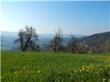 14
14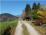 15
15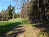 16
16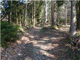 17
17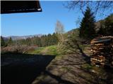 18
18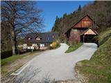 19
19 20
20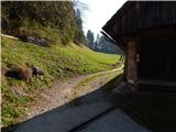 21
21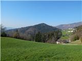 22
22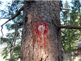 23
23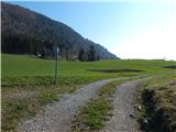 24
24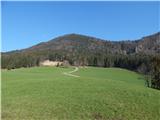 25
25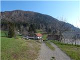 26
26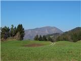 27
27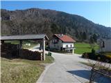 28
28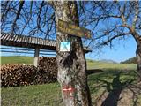 29
29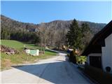 30
30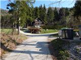 31
31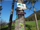 32
32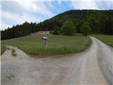 33
33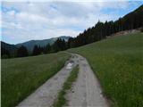 34
34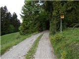 35
35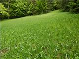 36
36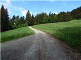 37
37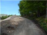 38
38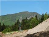 39
39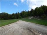 40
40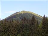 41
41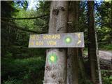 42
42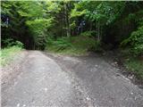 43
43 44
44 45
45 46
46 47
47 48
48 49
49 50
50 51
51 52
52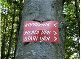 53
53 54
54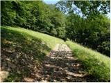 55
55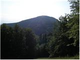 56
56 57
57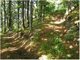 58
58 59
59 60
60 61
61 62
62 63
63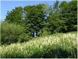 64
64 65
65 66
66 67
67 68
68
Discussion about the trip Javorje - Koprivnik (via Brdo)
To post a comment you must log in:
If you do not yet have a username, you must first
register.