Javorje (Mala Črna) - Smrekovec (via Bukov stan)
Starting point: Javorje (Mala Črna) (660 m)
| Latitude/Longitude: | 46,45524°N 14,88084°E |
| |
Route name: via Bukov stan
Walking time: 3 h 15 min
Difficulty: easy marked way
Elevation gain: 917 m
Elevation difference along the route: 955 m
Map: Koroška 1:50.000
Recommended equipment (summer):
Recommended equipment (winter): ice axe, crampons
Views: 391
 | 1 person like this post |
Access to starting point:
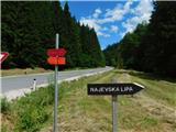
a) Drive to Črna na Koroškem, then follow the signs for Topolščica, Šoštanj and Velenje. After 3 km of driving from the roundabout in the center of Črna na Koroškem, turn right towards Dom na Smrekovcu and Najevske lipe. Park a little further on a suitable spot by the road, best behind the bridge.
b) Drive to Šoštanj, then follow the signs for Črna na Koroškem. Follow a longer quite winding ascent to the Sleme pass (1082 m), then descend for approximately another 9 km. After 9 km turn left towards Dom na Smrekovcu and Najevske lipe. Park a little further on a suitable spot by the road, best behind the bridge.
Route description:
From the starting point, head to the road where there are signs for Dom na Smrekovcu and Najevsko lipo, initially walking along a gentle road ascending along Koroška Kramarica. After 15 minutes of walking, arrive at a marked junction by MHE-Navi Ludranski Vrh, continue left towards Dom na Smrekovcu (right Najevska lipa). The path continues along the stream and past individual farms, at some access road junctions follow the otherwise rare markings in this section.
Higher up, the somewhat wider road turns left towards the Lukač farm and further on, but we go right onto the side road, quickly reaching the Silvester farmstead where the road ends.
Bypass the farmstead on the lower left side and continue across the meadow (here the path may be slightly overgrown), at the edge of the forest the path becomes clearer again, briefly still somewhat overgrown. Follow a short transverse ascent through the forest and return to the road that we left lower before the Lukač farmstead.
Follow the road right, which soon forks; continue straight between both roads onto a cart track that begins to ascend more steeply. The cart track has some forks higher up; follow the markings to reach the chapel and NOB monument on Kramarica, where there is a marked junction.
Continue right towards Dom na Smrekovcu (left Andrejev dom na Slemenu, straight down Sveti Križ, Bele Vode and Šoštanj) and proceed gently towards the nearby forest road, reaching it at the Kramarica saddle.
Continue ascent on the wider road (left down Bele Vode, right Črna na Koroškem); shortly after entering dense forest, the path forks.
Choose the right path towards the route via Bukov stan (straight along the road), with initial moderate ascent, then reaching a steep slope over which we ascend transversely. Extra caution needed here especially when wet to avoid slipping; the path then reaches the cart track. Several successive forks follow; stick to the marked and trodden path. On the eastern ridge of Smrekovec, reaching Roma meadow, continue straight (right unmarked path to Smrekovec summit) and re-enter the forest. Shortly after, reach a wider cart track leading quickly to Dom na Smrekovcu.
Bypass the hut on the right and continue towards Smrekovec and Raduha, ascending transversely through a forest belt. A few minutes higher, the path forks; take the right with signs for Smrekovec (left Komen, Travnik and Raduha).
Steep ascent follows through increasingly sparse forest; summit of Smrekovec reached via moderate ascent on panoramic meadow slope.
Starting point - Kramarica 1:45, Kramarica - Dom na Smrekovcu 1:00, Dom na Smrekovcu - Smrekovec 0:30.
Description and photos refer to the condition in June 2024 and June 2025.

Photos:
 1
1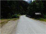 2
2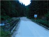 3
3 4
4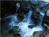 5
5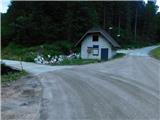 6
6 7
7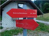 8
8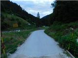 9
9 10
10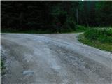 11
11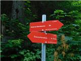 12
12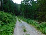 13
13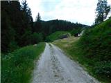 14
14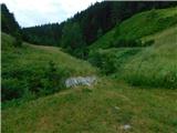 15
15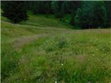 16
16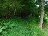 17
17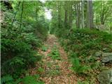 18
18 19
19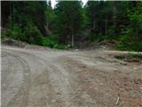 20
20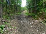 21
21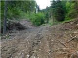 22
22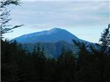 23
23 24
24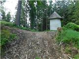 25
25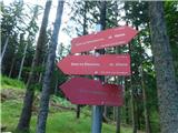 26
26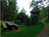 27
27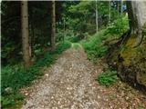 28
28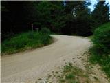 29
29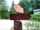 30
30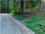 31
31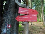 32
32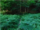 33
33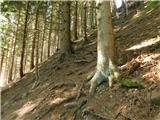 34
34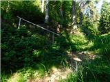 35
35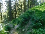 36
36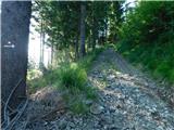 37
37 38
38 39
39 40
40 41
41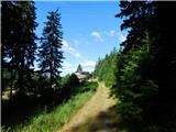 42
42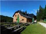 43
43 44
44 45
45 46
46 47
47 48
48 49
49 50
50 51
51 52
52 53
53 54
54 55
55 56
56
Discussion about the trip Javorje (Mala Črna) - Smrekovec (via Bukov stan)
To post a comment you must log in:
If you do not yet have a username, you must first
register.