Jermanca - Najvišji rob (Zeleniške špice) (via Repov kot)
Starting point: Jermanca (938 m)
| Latitude/Longitude: | 46,33412°N 14,58500°E |
| |
Route name: via Repov kot
Walking time: 3 h 55 min
Difficulty: difficult pathless terrain
Elevation gain: 1189 m
Elevation difference along the route: 1229 m
Map: Kamniške in Savinjske Alpe 1:50.000
Recommended equipment (summer): helmet
Recommended equipment (winter): helmet, ice axe, crampons
Views: 27.055
 | 4 people like this post |
Access to starting point:
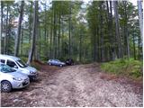
a) We drive to Kamnik, then follow the signs for Kamniška Bistrica and Črnivec pass. In Stahovica at the traffic light intersection we turn left towards Kamniška Bistrica (straight ahead Črnivec pass) and drive to Dom v Kamniški Bistrici. We bypass the mountain hut on the right side. The asphalt ends a little higher up, from there we continue on a gravel road that soon forks. We keep to the lower left road (right leads to a footpath towards Kokrsko sedlo), and at subsequent intersections we follow the signs for Jermanca or Kamniško sedlo. We park before the last left bend, as further driving is prohibited by a traffic sign. Driving and parking beyond the traffic sign is prohibited, the fine for violation is 1.000 €. In winter, driving from Koča v Kamniški Bistrici to the Jermanca parking lot is prohibited by a traffic sign, which extends the walk by almost an hour.
b) From the direction of Gornji Grad we drive to Črnivec pass, then start descending towards Kamnik. When we reach Stahovica, at the traffic light intersection we turn right towards Kamniška Bistrica (straight ahead Kamnik) and drive to Dom v Kamniški Bistrici. We bypass the mountain hut on the right side. The asphalt ends a little higher up, from there we continue on a gravel road that soon forks. We keep to the lower left road (right leads to a footpath towards Kokrsko sedlo), and at subsequent intersections we follow the signs for Jermanca or Kamniško sedlo. We park before the last left bend, as further driving is prohibited by a traffic sign. Driving and parking beyond the traffic sign is prohibited, the fine for violation is 1.000 €. In winter, driving from Koča v Kamniški Bistrici to the Jermanca starting point is prohibited by a traffic sign, which extends the walk by almost an hour.
c) From Luče we drive to Podvolovljek, then on a steep road we ascend to Volovljek pass (the pass is also known as Kranjski Rak after the inn there). From there we start descending towards Kamnik. Lower down we join the road from Črnivec pass, where we turn right downhill. When we reach Stahovica, at the traffic light intersection we turn right towards Kamniška Bistrica (straight ahead Kamnik) and drive to Dom v Kamniški Bistrici. We bypass the mountain hut on the right side. The asphalt ends a little higher up, from there we continue on a gravel road that soon forks. We keep to the lower left road (right leads to a footpath towards Kokrsko sedlo), and at subsequent intersections we follow the signs for Jermanca or Kamniško sedlo. We park before the last left bend, as further driving is prohibited by a traffic sign. Driving and parking beyond the traffic sign is prohibited, the fine for violation is 1.000 €. In winter, driving from Koča v Kamniški Bistrici to the Jermanca starting point is prohibited by a traffic sign, which extends the walk by almost an hour.
Route description:
From the parking lot we continue on an increasingly narrow road that soon turns into a path. Continuing through the forest we cross the slope on the left side of the valley and soon join the marked path from Kamniška Bistrica (lower starting point). Further on in a gentle ascent we cross the slope towards the northeast and the path leads us to the junction V Klinu. The marked path towards Kamniško sedlo turns left uphill here (there are also direction signs along the path), while we continue slightly right onto an unmarked path. At the beginning of this path there is a large sign "Pot ne vodi na K. sedlo".
Further on the path begins to ascend somewhat more steeply and runs through the forest on the left side of the valley. Several times a narrow trail branches off the path to the right downhill, but we always walk on the better-trodden trail that constantly runs on the left side of the valley. Later, when the path leads us out of the forest, if there is enough water in the stream on the right we will notice a waterfall. The path then crosses a somewhat exposed slope to the right, and a few pitons also help us. Here on the right side in the stream bed we will notice some small pools. We continue left and again begin to ascend through forest and dwarf pine. When we emerge from the forest the path leads us to a junction where we continue right on a narrow trail through dwarf pine. Near the junction on the left side there is a windbreak, while if we continued left the path after a few meters would lead us to a scenic ridge.
From the dwarf pine the path leads us across a short scree slope and then crosses rock slabs. The path still runs on the left side of the valley and in the final section turns slightly to the right. Here the path becomes somewhat steeper and some easy climbing (grade 1) is required. The path in this section is also somewhat less visible, but a few cairns help us. At the final ascent towards Srebrno sedlo the path moves away from the steep section to the right side.
At Srebrno sedlo we continue right onto an unmarked path that leads along the ridge and after a short ascent brings us to the pre-summit. From the pre-summit we descend slightly, then the path moves away from the ridge to the right side. Past a natural window the path brings us to the south side of the mountain. Here we continue sharply left and after a short ascent along the ridge we reach the summit.
Starting point - joining the path from the valley 0:15, joining the path from the valley - V Klinu 0:10, V Klinu - Srebrno sedlo 3:20, Srebrno sedlo - Najvišji rob 0:10.

Along the route: Priključitev poti iz doline (1011m), V Klinu (1068m), Odcep za Kamniškega Dedca (1083m), Slap v Repovem kotu (1466m), Odcep k Zeleniškim špicam (1509m), Srebrno sedlo (2122m)
Photos:
 1
1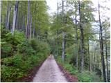 2
2 3
3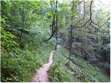 4
4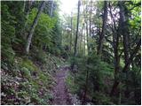 5
5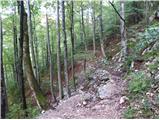 6
6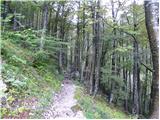 7
7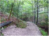 8
8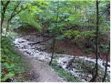 9
9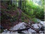 10
10 11
11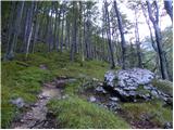 12
12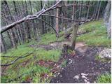 13
13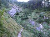 14
14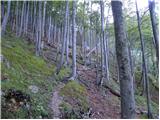 15
15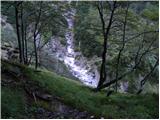 16
16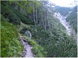 17
17 18
18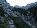 19
19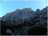 20
20 21
21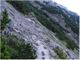 22
22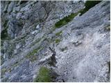 23
23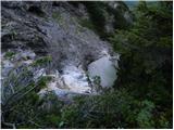 24
24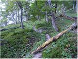 25
25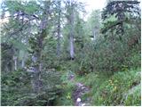 26
26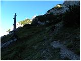 27
27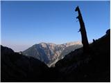 28
28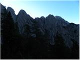 29
29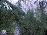 30
30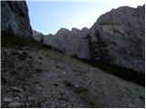 31
31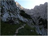 32
32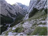 33
33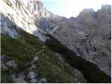 34
34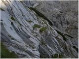 35
35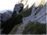 36
36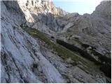 37
37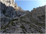 38
38 39
39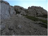 40
40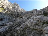 41
41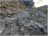 42
42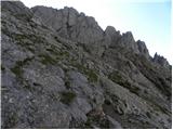 43
43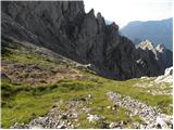 44
44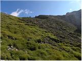 45
45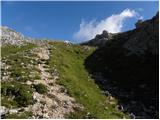 46
46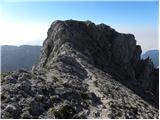 47
47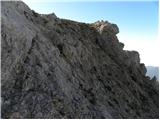 48
48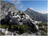 49
49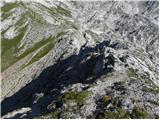 50
50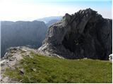 51
51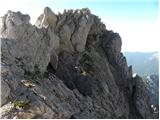 52
52 53
53 54
54 55
55 56
56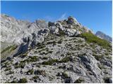 57
57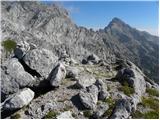 58
58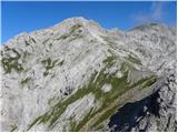 59
59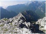 60
60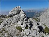 61
61
Discussion about the trip Jermanca - Najvišji rob (Zeleniške špice) (via Repov kot)
|
| ljubitelj gora24. 05. 2016 |
On Sunday 22.5 from Jermanca I set off to the ridge of Zeleniške špice, since I didn't get company I went solo. Met some mountaineers up to Staničev vrh, to the summit UIAA II is needed. From Staničev vrh free climbed to the notch and along all the spires to the highest summit. Somewhere at 3/4 of the ridge a belay station appears and there you can only rappel, so turn back a bit and climb to the left side at a suitable spot (above Repov kot, picture 9), one good II. Thereafter no more difficulties. The rock is good and it really is one of the nicer ridges around here. Returned via the described upper path where there was still plenty of snow, so I used winter gear. Some pictures: https://picasaweb.google.com/114400986607884783562/6287633346086042657
|
|
|
|
| matos4df13. 10. 2019 |
Today on the way back I forgot my blue Camp helmet by the pool. If a friendly hiker finds it, he can let me know at 031771987 (or ZS) where I can at least buy him a beer.
|
|
|
|
| Turbolazec15. 07. 2020 |
On Sunday I'm going on this path, just wondering if anyone else is going so I could join them and have company? Lp
|
|
|
To post a comment you must log in:
If you do not yet have a username, you must first
register.