Jermendol - Sveti Andrej (Gornje Poljane)
Starting point: Jermendol (750 m)
| Latitude/Longitude: | 45,67531°N 14,52034°E |
| |
Walking time: 1 h 15 min
Difficulty: easy unmarked way
Elevation gain: 311 m
Elevation difference along the route: 311 m
Map: Notranjska s Snežnikom - 1 : 50.000
Recommended equipment (summer):
Recommended equipment (winter):
Views: 13
 | 1 person like this post |
Access to starting point:
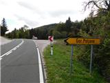
We drive into Loška dolina, then continue along the road towards Babno Polje. At the end of Loška dolina the road turns into forest and begins to ascend more noticeably. Higher up the road levels out and leads us to a junction, where first the road branches off to the right towards Babna Polica, and a few dozen meters further the road to the left towards Gornje Poljane. The Jermendol bus stop is also located here, and we park so as not to obstruct traffic.
Route description:
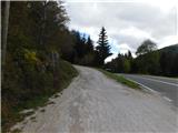
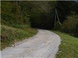
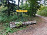
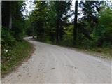
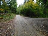
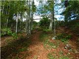
From the starting point we first carefully cross the main road, then follow the signs for Gornje Poljane, where we begin to ascend on a gravel road through the forest. At the beginning the road makes two hairpin bends, then for some time we ascend transversely to the right. At around 930 meters above sea level the road turns left and gradually passes from the slope into a small valley, along which we ascend more gently.
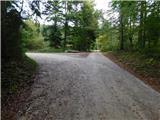
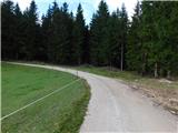
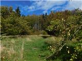
Higher up the forest is replaced by karst meadows, and at the left bend we join the marked path that starts in the settlement Vrhnika pri Ložu. We continue along the road that ascends transversely through the forest and arrive at a small hamlet with a few houses, where another path from the settlement Viševek joins us.
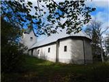
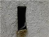
We continue right past the houses, then ascend in a few minutes along one of two paths to the church of St. Andrej. The area around the church is mostly overgrown with forest, so there is no wide view, but in one of the narrow church lines there is a visitors' book, which however rarely receives an entry.
The description and photos refer to the situation in October 2026.

Along the route: Gornje Poljane (1033m)
Photos:
 1
 2
 3
 4
 5
 6
 7
 8
 9
 10
 11
 12
 13
 14
 15
 16
Discussion about the trip Jermendol - Sveti Andrej (Gornje Poljane)
To post a comment you must log in:
If you do not yet have a username, you must first
register.