Jeršiče - Baba (at Javorniki)
Starting point: Jeršiče (650 m)
| Latitude/Longitude: | 45,77480°N 14,23050°E |
| |
Walking time: 1 h 30 min
Difficulty: easy unmarked way
Elevation gain: 435 m
Elevation difference along the route: 450 m
Map: Snežnik 1:50.000
Recommended equipment (summer):
Recommended equipment (winter): ice axe, crampons
Views: 5.980
 | 1 person like this post |
Access to starting point:
A) From the Koper - Ljubljana highway, take the Postojna exit, then drive towards the center of Postojna. In the mentioned settlement, we will notice signs for Pečna reber and the railway station, which direct us to the right, then approximately 200 m before the railway station turn left (the intersection is not marked) onto the road that soon takes us over the highway. On the other side of the highway, we arrive at an intersection where the road to Stara vas branches off to the right; we continue in the direction of Javornik and Sveta Trojica. A little further on, by the NOB monument, the road to Pečna reber branches off to the left, and we park here in a suitable place.
B) From the Ljubljana - Koper highway, take the Unec exit, then continue driving towards Unec and Cerkni ca. In the settlement Unec, leave the main road to Cerkni ca and continue driving right in the direction of Postojna. Further on, we drive on a somewhat narrower road that runs parallel to the highway. When, after a few kilometers through the underpass, we arrive on the other side of the highway, at the first intersection continue straight. When we return to the original side of the highway, at the intersections continue left, i.e., in the direction of Pečna reber and Sveta Trojica. When we soon arrive at the intersection where the road to Pečna reber branches off to the left and the road to Sveta Trojica continues to the right, we will notice the NOB monument between both roads. We park in a suitable place near the intersection.
Route description:
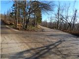
From the starting point by a smaller NOB memorial park, we continue on the slightly right road in the direction of Sveta Trojica. We continue on a macadam road, from which soon a marked path branches off slightly to the right, initially the road towards Sveta Trojica, and we continue on the upper road which leads along the foot of the Javorniki. Further for quite some time we walk on a slightly ascending road, which after some time brings us to a marked intersection, where the road and marked path towards Javorniki branches off to the left, and we continue straight on the further unmarked road, which gradually transitions into a valley between the ridge of Javorniki on the left and Baba on the right. While walking on the road, on the left side we notice a larger karst sinkhole named Javorniška koliševka. A little further, the road flattens completely and brings us to the next marked intersection, by which there is an old well.
From the mentioned intersection we continue right on the road which starts to descend slightly, from it already after a few steps we go right onto an unmarked but easy-to-follow path, which for the first few steps continues quite gently, then starts to ascend the slope straight upwards. During the ascent we cross a few cart tracks, the path above them turns slightly to the left and exits the forest. There follows a few minutes of traverse ascent, then we arrive at the indistinct ridge of Baba, where we continue right on the scenic path, which in a few minutes of light to moderate ascent climbs to the spacious and scenic grassy summit.
Description and pictures refer to the condition in the year 2015 (December).

Photos:
 1
1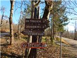 2
2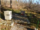 3
3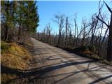 4
4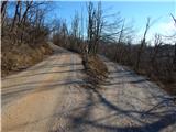 5
5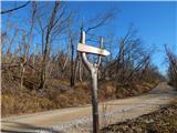 6
6 7
7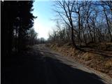 8
8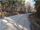 9
9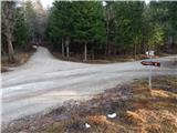 10
10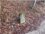 11
11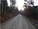 12
12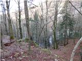 13
13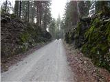 14
14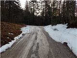 15
15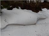 16
16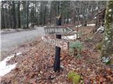 17
17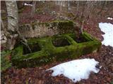 18
18 19
19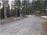 20
20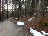 21
21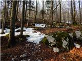 22
22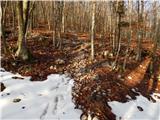 23
23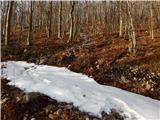 24
24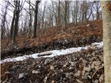 25
25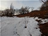 26
26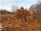 27
27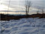 28
28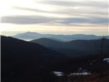 29
29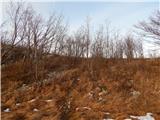 30
30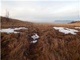 31
31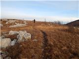 32
32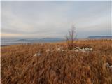 33
33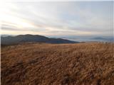 34
34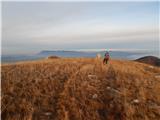 35
35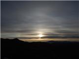 36
36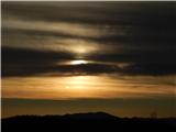 37
37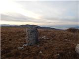 38
38 39
39
Discussion about the trip Jeršiče - Baba (at Javorniki)
To post a comment you must log in:
If you do not yet have a username, you must first
register.