Jesenovo - Črni vrh (Čemšeniška planina) (Špura)
Starting point: Jesenovo (615 m)
| Latitude/Longitude: | 46,18020°N 14,97116°E |
| |
Route name: Špura
Walking time: 1 h 45 min
Difficulty: very difficult marked way, easy unmarked way
Via ferrata: B/C
Elevation gain: 589 m
Elevation difference along the route: 600 m
Map: Posavsko hribovje - zahodni del 1:50.000
Recommended equipment (summer): helmet, self belay set
Recommended equipment (winter): helmet, self belay set, ice axe, crampons
Views: 2.490
 | 2 people like this post |
Access to starting point:
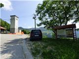
From the Ljubljana - Celje motorway we take the Trojane exit. We continue in the direction of Zagorje and the road then takes us through the V Zideh tunnel, after which we arrive at a place where a road branches off to the left upwards towards the village of Šentgotard. At the end of the village of Šentgotard we come to an intersection, where we continue right in the direction of the village of Čemšenik (left Prvine). The road then takes us through the village of Dobrljevo, after which we arrive in Čemšenik. We continue to follow the main road, which begins to descend slightly. At the intersections we first follow the signs for Zagorje and then for the village of Jesenovo. We then follow the road which begins to ascend again to the village of Jesenovo. When driving through the village we can see a larger cross on the left side above the village, which will later help us with orientation. In the village itself there are not many parking options. There is some space at the information board near the bus stop.
Route description:
From the bus stop in the village of Jesenovo we continue along the asphalted road through the village. The road ascends and takes us to an intersection where a road branches off to the right towards the villages of Vrhe and Znojile. We continue straight upwards and at the next intersection where there is sand for icy conditions we continue left. We continue walking along the asphalted road from which we occasionally get a view between the houses towards the large cross above the village, which can serve us for orientation. Soon we come to an intersection where an asphalted road branches off to the right upwards. We turn onto the mentioned road. At the beginning of the mentioned road some paved tracks branch off to the left and right, but we continue straight along the steep asphalted road. Before the last house we turn left from the asphalted road onto a track. At the beginning the track is grassy and consequently may be less visible. After a few meters however the track becomes clearly visible and ascends quite steeply and takes us to the previously mentioned cross above the village.
At the cross we turn onto a footpath which then ascends quite steeply through the forest in a northwesterly direction. After a transverse ascent we come to a fork where a narrower path called Vikčeva pot branches off to the left towards the church of Svetega Primoža.
We continue right and after a short ascent we come to a fork where a track also branches off to the left towards the mentioned church. We continue right and in the continuation we walk along the track in a northeasterly direction. On a small clearing we come to another fork.
To the left upwards leads a track along which one of the paths leads towards the hut on Čemšeniška planina, but we continue along the right lower track. We continue walking in the direction towards the northeast and mostly ascend gently through the forest. Soon another track branches off sharply to the left which later joins the previously mentioned one. We continue in the same direction and the track becomes level and leads us through a dense spruce forest. Such a track takes us to the next fork. This time we turn onto the left track which ascends slightly and takes us to Počivališče na Ošivki. Here there is also an intersection of several tracks; along the path there is also some kind of bivouac and numerous dwarfs and Sneguljčica.
We leave the tracks and turn past Sneguljčica and the dwarfs onto a narrow somewhat less trodden path. The path begins to ascend quite steeply straight through the forest. The path then crosses another track and takes us to the signs at the beginning of the Špura path.
Here the path ascends straight upwards and a rope also helps us with the ascent. Such a path then takes us to a somewhat more rocky part where there are also warning signs. Due to the danger of falling rocks the use of a helmet and also self-belaying is mandatory. The secured path is rated with difficulty level B/C.
From the warning signs we ascend steeply over the rocks with the help of steel cables; on the left side there is also another path along which the more difficult part can be bypassed. The steepness eases slightly for a short time and the path along the steel cable takes us in front of a larger boulder. Here we have two options again. We can ascend straight over a short vertical jump or via the right somewhat easier variant. After a few meters the paths join again and the more difficult climbing part of the path soon ends.
In the continuation the slope is still quite steep and the path continues straight upwards so a rope still helps us with the ascent. Higher up the path also leads us past the „klopce Ljubezni“ from where there is also a very nice view.
For a short time we still ascend steeply through the forest, then we reach the marked path and the fork below Črni vrh.
To the left leads the marked path towards the hut on Čemšeniška planina along which we will return to the valley. But first we ascend past the radio amateurs' hut to the nearby Črni vrh on which there is a larger cairn.
We descend along the mentioned marked path to the hut on Čemšeniška planina. At the hut the closest descent is if we turn left onto an unmarked path which begins at the antennas south of the hut.

Along the route: Počivališče na Ošivki (940m)
Photos:
 1
1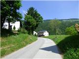 2
2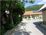 3
3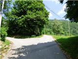 4
4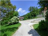 5
5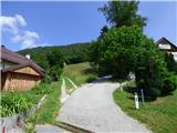 6
6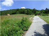 7
7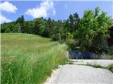 8
8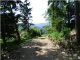 9
9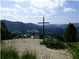 10
10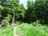 11
11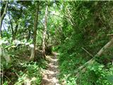 12
12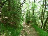 13
13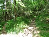 14
14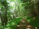 15
15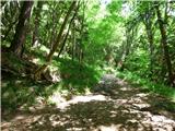 16
16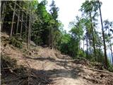 17
17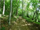 18
18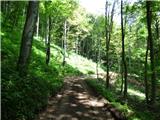 19
19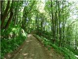 20
20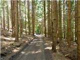 21
21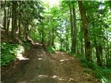 22
22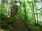 23
23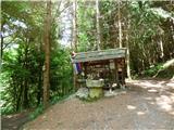 24
24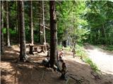 25
25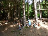 26
26 27
27 28
28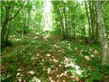 29
29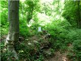 30
30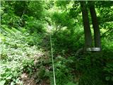 31
31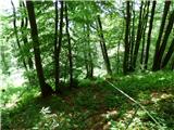 32
32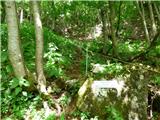 33
33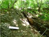 34
34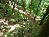 35
35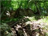 36
36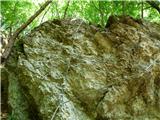 37
37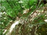 38
38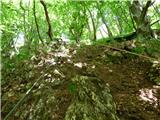 39
39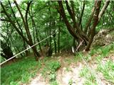 40
40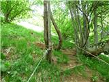 41
41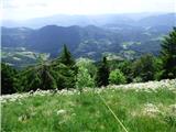 42
42 43
43 44
44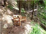 45
45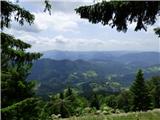 46
46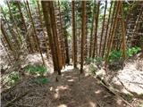 47
47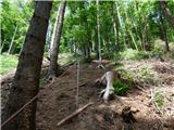 48
48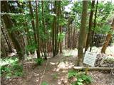 49
49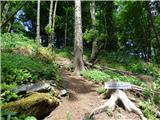 50
50 51
51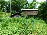 52
52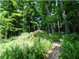 53
53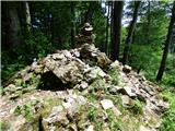 54
54 55
55
Discussion about the trip Jesenovo - Črni vrh (Čemšeniška planina) (Špura)
To post a comment you must log in:
If you do not yet have a username, you must first
register.