Jezero - Krim (via homestead Špelin)
Starting point: Jezero (290 m)
| Latitude/Longitude: | 45,97116°N 14,43430°E |
| |
Route name: via homestead Špelin
Walking time: 2 h 20 min
Difficulty: easy marked way
Elevation gain: 817 m
Elevation difference along the route: 825 m
Map: Ljubljana - okolica 1:50.000
Recommended equipment (summer):
Recommended equipment (winter):
Views: 27.880
 | 1 person like this post |
Access to starting point:
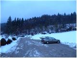
We drive to Podpeč, where we head towards Ig. We follow this road only briefly to the intersection, where we turn right towards the village of Jezero. The road quickly takes us to the next intersection at the fire station (PGD Jezero). Here we turn left onto a large, well-maintained public parking area, where parking for hikers is allowed (payment is possible via the EasyPark system).
Further driving straight to the parking area directly by Podpeško jezero is not permitted, as the larger, well-maintained parking area by the road there is reserved exclusively for the guests of the inn.
Route description:
From the public parking area at the fire station (PGD Jezero) we continue on foot along the road (in the direction of travel). After a few dozen meters, immediately after the fire station, at the intersection we turn right uphill onto the road that leads up the hill through the village of Jezero, where we are soon met by the hiking signs for Krim.
We continue along the asphalt road that takes us uphill through the village. After a few minutes of walking, the asphalt ends and the road quickly turns into a cart track that brings us to a fork, where we keep to the right (the left path leads past Ledenice). After about 15 minutes of easy walking, we reach the homestead Špelin, where the signs for Krim direct us left onto an ascending footpath that quickly enters the forest. We continue ascending relatively steeply for a short time, then join the cart track from the village of Jezero (we would arrive via it if at the smaller intersection after the chapel we continued along the left road). We follow the cart track uphill, which soon brings us to a gravel road that we merely cross. A short ascent through the forest follows and the path brings us to the meadows of the area called Planinca (also Planinica). Here the path turns left and quickly brings us to an isolated homestead, behind which the path past Ledenice joins from the left. We continue right and in a few further steps reach the church of St. Tomaž on Planinca.
We pass the church on the left side and continue along a gentle cart track that gradually turns into forest. The cart track soon ascends more steeply for a short time, then turns slightly right, where it gradually moves to the western slopes. Here the path from Dolenje Brezovice joins from the right, and we continue straight along the gradually steeper cart track. Somewhat higher we cross another forest road, then the path begins to turn slightly left, where after a few more minutes of moderate ascent it joins the paths from Strahomer, Vrbljen and Tomišlja.
We continue right towards Krim and proceed along a cart track that is initially gentle, then gradually steeper. Higher up the cart track turns slightly left and then right. After the latter bend, it levels completely and some 10 m further also joins the road that leads to Krim. We follow the mentioned road to the left, which after 10 minutes of walking brings us to the parking area and turnaround below the summit of Krim. Here we continue right and along the road or marked footpath in a few minutes of further walking we reach the summit of Krim.

Photos:
 1
1 2
2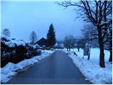 3
3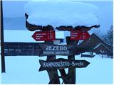 4
4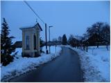 5
5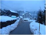 6
6 7
7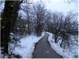 8
8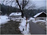 9
9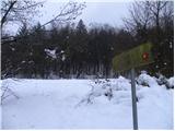 10
10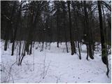 11
11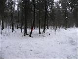 12
12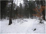 13
13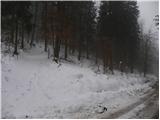 14
14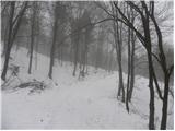 15
15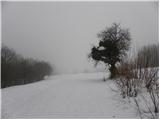 16
16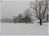 17
17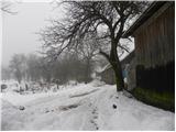 18
18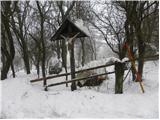 19
19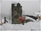 20
20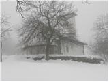 21
21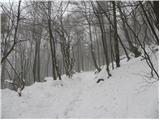 22
22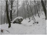 23
23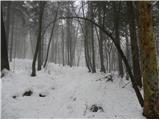 24
24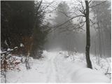 25
25 26
26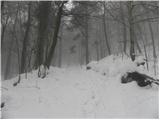 27
27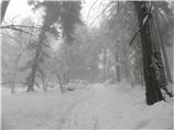 28
28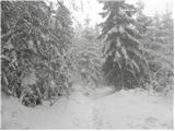 29
29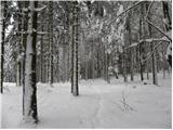 30
30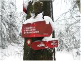 31
31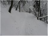 32
32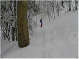 33
33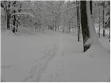 34
34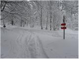 35
35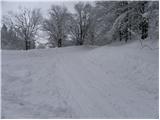 36
36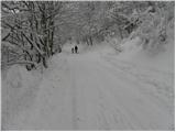 37
37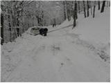 38
38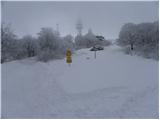 39
39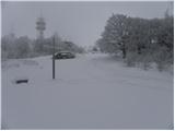 40
40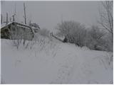 41
41 42
42
Discussion about the trip Jezero - Krim (via homestead Špelin)
|
| Okmodko14. 12. 2010 |
But you get used to those bears jumping around you all the time!
|
|
|
|
| tisa14. 12. 2010 |
How can you get used to animals jumping around you? Sometimes I think I'd rather live among bears or some other representatives of the animal world than with people. (not you, so there's no misunderstanding).
You had quite a gloomy day though, but the pictures are nice regardless of the weather.
|
|
|
|
| MG4214. 12. 2010 |
Okmodko, I'm really curious how many bears were jumping around you? Wasn't there some she-bear among them? Wasn't there some she-bear among them?
|
|
|
|
| MG4214. 12. 2010 |
I'd really like to photograph one live, and also
invite Tiso along....
|
|
|
|
| tisa16. 12. 2010 |
No doubt you'd enjoy it, surrounded by bears as you say But I think MG42 is right that it's winter after all, I hadn't thought of that. If you were surrounded, you'd have taken a picture of one, right? Just what did you see, I'm curious? But I think MG42 is right that it's winter after all, I hadn't thought of that. If you were surrounded, you'd have taken a picture of one, right? Just what did you see, I'm curious?  Or are you maybe pulling our leg a bit..... Or are you maybe pulling our leg a bit.....
|
|
|
|
| Micky16. 12. 2010 |
We who live under Slivnica also have them for export. We'll sell you a furry one.
|
|
|
|
| lakkon28. 12. 2012 |
Hello.
Can one reach Krim on Saturday or Sunday normally without any crampons? Gaiters though, right? Is this trail or another one more dangerous now than described? The bears have hidden and there are none, right?
|
|
|
|
| Mikens23. 06. 2019 |
IMPORTANT!
I ask all hikers to keep their dogs on a leash! (bear area.)
Best hunting regards.
Klement Mal, LD Tomišelj
|
|
|
To post a comment you must log in:
If you do not yet have a username, you must first
register.