Jezero - Krim (via Ledenica)
Starting point: Jezero (290 m)
| Latitude/Longitude: | 45,97116°N 14,43430°E |
| |
Route name: via Ledenica
Walking time: 2 h 30 min
Difficulty: easy marked way
Elevation gain: 817 m
Elevation difference along the route: 830 m
Map: Ljubljana - okolica 1:50.000
Recommended equipment (summer):
Recommended equipment (winter):
Views: 54.356
 | 3 people like this post |
Access to starting point:
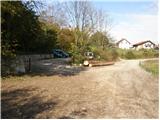
We drive to Podpeč, where we head towards Ig. We follow this road only briefly to the intersection, where we turn right towards the village of Jezero. The road quickly takes us to the next intersection at the fire station (PGD Jezero). Here we turn left onto a large, well-maintained public parking area, where parking for hikers is permitted (payment is possible via the EasyPark system).
Further driving straight to the parking area directly by Lake Podpeč is not allowed, as the larger, well-maintained parking area by the road there is reserved exclusively for guests of the restaurant.
Route description:
From the public parking area at the fire station (PGD Jezero) we continue on foot along the road (in the direction of travel). After a few dozen meters, immediately after the fire station, at the intersection we turn right uphill onto the road that leads up the hill through the village of Jezero, where hiking signs for Krim soon appear.
We continue along the asphalt road that takes us uphill through the village. After a few minutes of walking the asphalt ends and the road quickly turns into a cart track that brings us to a junction. We continue on the left path towards Ledena jama (Krim left and right). Further we follow the cart track that moderately ascends through the forest and a little higher brings us to a path junction. If desired, we can make a short detour to Ledena jama, which takes about five minutes in each direction.
From the junction we continue right on the forest road to the hamlet, where the signs direct us left towards the church of St. Tomaž. From the church the path gently follows a cart track, where we carefully follow the markings. The path crosses a forest road, ascends more steeply, then levels out and joins a wider cart track, along which we continue past the junction of paths from the direction of Tomišelj, Vrbljene and Strahomer all the way to the main road to Krim.
Here we continue left and follow the road to the large parking area. We continue right past the cross and ascend across the meadow, which ends with steps, to the hut on Krim.

Along the route: Ledenica pri Planinci (480m), Sveti Tomaž (572m)
Photos:
 1
1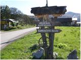 2
2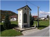 3
3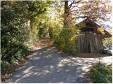 4
4 5
5 6
6 7
7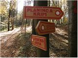 8
8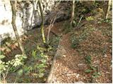 9
9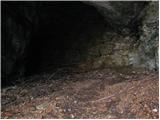 10
10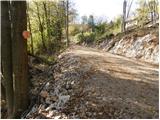 11
11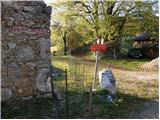 12
12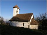 13
13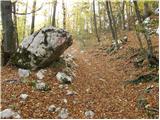 14
14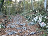 15
15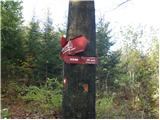 16
16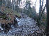 17
17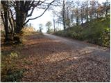 18
18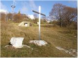 19
19 20
20
Discussion about the trip Jezero - Krim (via Ledenica)
|
| amar nat22. 07. 2010 |
Given all the scree on the path, the ascent is quite strenuous. The descent is the same.
|
|
|
|
| wolphgang11. 11. 2011 |
Yesterday on Krim via this path. All the time walking in fog except the last 100 vertical meters. At the top view of the "sea" and nothing else, interesting feeling. In the hut friendly waitress
|
|
|
|
| marijakordis27. 05. 2012 |
We often take it from Jezero to sv. Tomaž on Planinci. In the last week we've read a lot about bear encounters. My husband also went on the previous Friday (18 May around 19h) on this path. After about ten minutes from Jezero he spotted the furry one. He carefully turned back so they didn't get close. Possibly it's the same bear that attacked a man above Ig today, so caution on these paths is not superfluous.
|
|
|
|
| Aqua_a12. 09. 2016 |
I agree. The ascent is a bit strenuous due to the rocks, which especially bothers on the way down. But it's a nice hike, testing endurance, especially the last 30-45 min when the path really climbs. But on the top you have everything compensated 
Best regards
|
|
|
|
| Tana Debeljak22. 07. 2018 |
Today my colleague and I went and there were no bears anywhere. :P It was just one day after rain, so the stones up can slip a lot. The path description misses the info that when continuing from Ledenica cave, we follow signs for "Planinca" - that's the hamlet mentioned in the text, from there onwards there are again signs for Krim. Have a nice trip!
|
|
|
|
| Mikens23. 06. 2019 |
IMPORTANT!
I ask all hikers to keep their dogs on a leash! (bear area.)
Nice hunting regards.
Klement Mal, LD Tomišelj
|
|
|
To post a comment you must log in:
If you do not yet have a username, you must first
register.