Jezerski vrh - Virnikov Grintovec
Starting point: Jezerski vrh (1218 m)
| Latitude/Longitude: | 46,41880°N 14,52680°E |
| |
Walking time: 2 h
Difficulty: easy unmarked way, easy marked way
Elevation gain: 436 m
Elevation difference along the route: 525 m
Map: Karavanke - osrednji del 1:50.000
Recommended equipment (summer):
Recommended equipment (winter): ice axe, crampons
Views: 16.309
 | 3 people like this post |
Access to starting point:
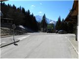
From the Ljubljana - Jesenice motorway, we take the Kranj - East exit and follow the road ahead in the direction of Jezersko. From Zgornje Jezersko we continue driving towards Austria, but we drive along it to the border crossing Jezerski vrh, where we park on a marked parking lot on the Slovenian side.
Route description:
From the parking lot, we walk to the nearby macadam road which ascends north from the border crossing, and already after a few meters it brings us to Austrian signposts, where from the road to the right a marked path branches off to Pristovški Storžič. We "ignore" the mentioned turn-off to the right and continue on the macadam road, which turns a little to the left and ascends gently to moderately for some time. From the road, which continues with some shorter ascents and descents, occasionally a nice view opens up on the chain of Kamniško Savinjskih Alps. Eventually, the road from the slopes of Pristovški Storžič brings us to an old JLA guardhouse on Ankovi planini.
From here the road continues right, then turns semicircularly towards the left, where a little higher it brings us below the summit of Roblek. The road then starts to descend more steeply and after a short descent brings us to the state border between Slovenia and Austria. Here we cross the state border and descend in a few dozen steps to the hut on Roblekova planina.
From the hut on Roblekova planina we continue left on the road which starts gently descending towards the western part of the mountain pasture. After a short descent, the road splits into two parts, and we go straight ahead and continue on the one which still gently to moderately descends. A little lower, we will come to a yellow Austrian mountain sign with the inscription Kl. Grintoutz / Virnikov Grintovec, which directs us left upwards onto a cart track.
At this spot, where we join the marked path which leads from the village Korte / Trögern towards Virnikov Grintovec, the path goes into the forest and starts moderately ascending. The cart track a little higher brings us to a clearing, from which a view opens up on our goal and a little further also on Obir, then it turns a little to the right. There follows a little more walking on the wide cart track, then the marks direct us left onto a narrower and gradually also steeper cart track. A little higher, another cart track joins from the left, and we continue right and after a few minutes of further walking arrive at the saddle Žingerc, where we step again onto the Slovenian side.
We continue in the direction of Virnikov Grintovec, on the path which goes into the forest, and it starts ascending steeper and steeper. The fairly steep path brings us higher onto the main ridge, where it turns to the left. On the ridge, from which beautiful views open up on the surrounding peaks, the steepness also eases. We follow this occasionally very panoramic and on individual spots slippery-dangerous path (in the dry there is no major danger) all the way to the summit of Virnikov Grintovec.

Photos:
 1
1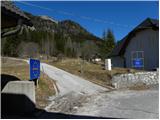 2
2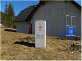 3
3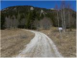 4
4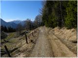 5
5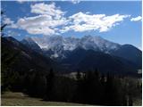 6
6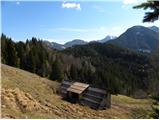 7
7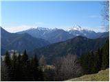 8
8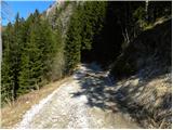 9
9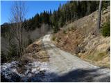 10
10 11
11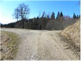 12
12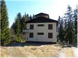 13
13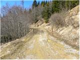 14
14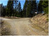 15
15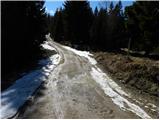 16
16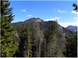 17
17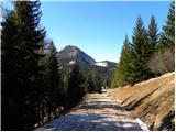 18
18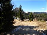 19
19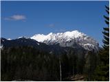 20
20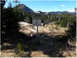 21
21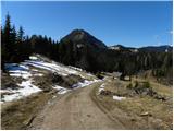 22
22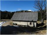 23
23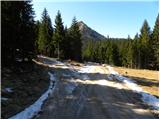 24
24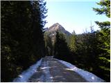 25
25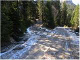 26
26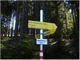 27
27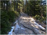 28
28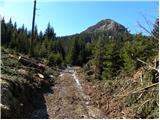 29
29 30
30 31
31 32
32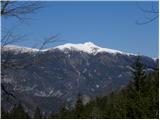 33
33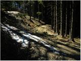 34
34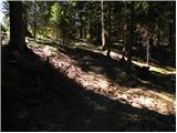 35
35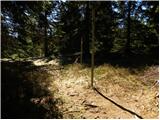 36
36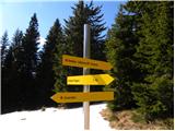 37
37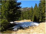 38
38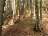 39
39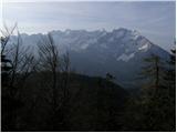 40
40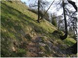 41
41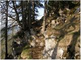 42
42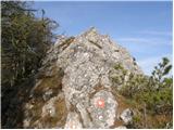 43
43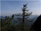 44
44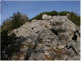 45
45 46
46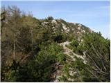 47
47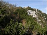 48
48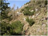 49
49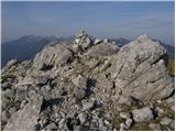 50
50 51
51
Discussion about the trip Jezerski vrh - Virnikov Grintovec
To post a comment you must log in:
If you do not yet have a username, you must first
register.