Juranščina - Ivanščica (via Belige)
Starting point: Juranščina (340 m)
Route name: via Belige
Walking time: 2 h 30 min
Difficulty: easy marked way
Elevation gain: 721 m
Elevation difference along the route: 920 m
Map:
Recommended equipment (summer):
Recommended equipment (winter): crampons
Views: 1.160
 | 1 person like this post |
Access to starting point:
A) We arrive in Croatia via the border crossing Gruškovje / Macelj. We leave the highway Macelj-Zagreb near the town of Zabok. Further, we drive in the direction of Bedekovčina, Zlatar Bistrica. After the settlement Poznanovec we leave the main road and go in the direction of Mače, Zlatar (in Zlatar it is possible to arrive even if we continue ahead and turn in the town Zlatar-Bistrica). In the settlement Zlatar we will notice signs for Belec, to which there are about fifteen more minutes on a worse road.
B) From Prekmurje we drive on the highway Goričan-Zagreb, and we leave it at the exit Novi Marof. From Novi Marof we continue in the direction of Zlatar, but only to the town Budinščina, where we go on a worse road which after twenty minutes brings us to the village Belec.
The official beginning of the path is by the church in Belec, but from here to "our" starting point in the village Juranščina there is half an hour of walking on asphalt.
Route description:
The official beginning of the path is by the church in the village Belec. I recommend that we drive ahead to the village Juranščina, because to it there is half an hour of walking on asphalt and flat.
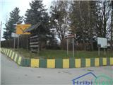
In Juranščina there is a crossing, where we will notice mountain signposts. We go left in the direction of Belecgrad (right - Kopanja and Židovina). The asphalt will soon end, and the path passes into the forest (here there are still a few parking spots).
Through the forest we walk on a mostly gentle path, and between the trees the view opens up a little on the ruins of the castle Belecgrad, and on the left side of the path runs a pleasant stream Brana, which flows towards the valley in numerous rapids. After half an hour of walking we get to the mountain hut Belecgrad.
Behind the hut there is a bigger crossing from which we continue left (straight - Brana, right - Kopanja over Mindžalovec). We cross the stream Brana. Here we can choose between two variants, I recommend the left because the right one goes through a clearing and does not have blazes, only one on a rock. The paths join at the hunting cottage, from where we continue to the next crossing, which is located before the castle Belec, which is now a ruin.
From the crossing we continue slightly right (behind us is a turn-off towards the ruins, left path for mountain hut Majer and ruins Oštrcgrad). The path ahead is increasingly steep and leads through a lower forest. After some time the path quite unnoticeably from the northwestern turns to the northeastern side and flattens. The gentle part lasts only a minute, then we get to the steepest part of the path, where on some spots the path is quite rocky and almost borders on partly demanding. Higher the path again flattens and brings us to a crossing, where if we continue left we can in a minute get to the viewpoint Babin zob.
After the crossing, which is somehow halfway on the path, we get to a belt of mixed forest, where by an interesting rock the path again becomes steep. The forest gradually thins, and we get to the meadow Beliga. Once a lively mountain pasture, today it is abandoned and increasingly overgrown. We follow the meadow to the right, and when we return to the forest we are already at the next crossing, which is poorly marked and where from the right the path from Lobor and mountain hut Majer joins.
Next follows some easy walking through the forest, then we get to a saddle, from where a view opens up towards the north. For continuing we have two options, namely we can continue downwards, where we walk below the rocks, I recommend the path which leads over the top of Beliga.
We go upwards on the steep path which continues on a locally narrow and on some spots exposed ridge, and we follow such a path to the top of Beliga, where there is a stamping box.
We continue forward and after a minute the ridge ends, and we descend approximately 100 elevation meters to a crossing, where our path officially ends and passes to the path Brana.
We continue right and get to the road, on which we can continue all the way to the hut, I recommend that from the road we slightly descend and in a minute get to Črne mlake, the legendary take-off site of witches.
Črne mlake are a smaller muddy pond which never dries up.
We continue in the direction of the top, and the path leads us towards the east, soon we get to the next resting spot and the next crossing, where some more paths join. Somewhat further we get to a poorly marked crossing, where we go upwards.
Somewhat higher we touch the road, and we go left on the marked path. Next follows a shorter ascent and we again reach the road, this time we continue on it to the approximately 5 minutes distant mountain hut, from which to the top of Ivanščica we have only a minute of walking.

Along the route: Planinarska kuća Belec (440m), Belec grad (531m), Razglednik Babin zub (638m), Belige (974m)
Photos:
 1
1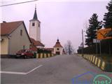 2
2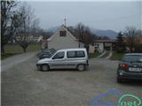 3
3 4
4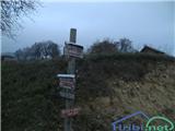 5
5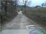 6
6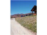 7
7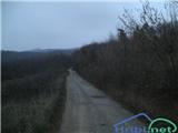 8
8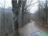 9
9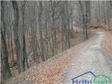 10
10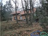 11
11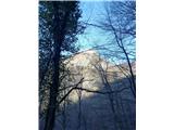 12
12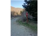 13
13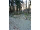 14
14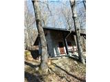 15
15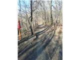 16
16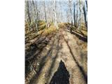 17
17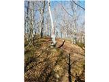 18
18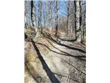 19
19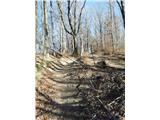 20
20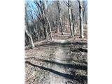 21
21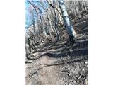 22
22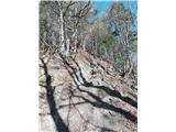 23
23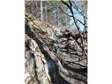 24
24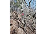 25
25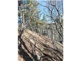 26
26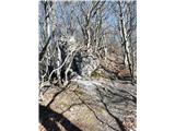 27
27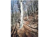 28
28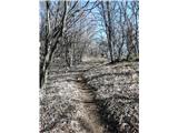 29
29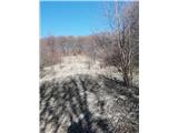 30
30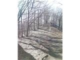 31
31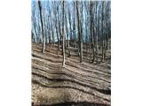 32
32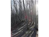 33
33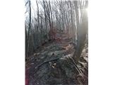 34
34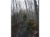 35
35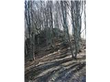 36
36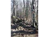 37
37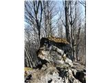 38
38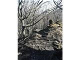 39
39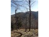 40
40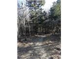 41
41 42
42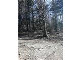 43
43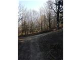 44
44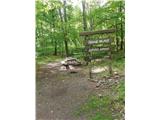 45
45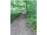 46
46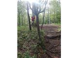 47
47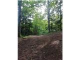 48
48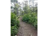 49
49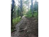 50
50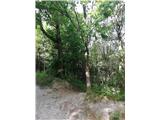 51
51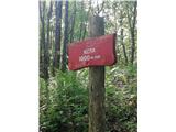 52
52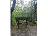 53
53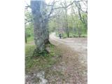 54
54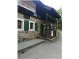 55
55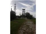 56
56
Discussion about the trip Juranščina - Ivanščica (via Belige)
To post a comment you must log in:
If you do not yet have a username, you must first
register.