Juršče - Bele stene (western way)
Starting point: Juršče (704 m)
| Latitude/Longitude: | 45,66420°N 14,29500°E |
| |
Route name: western way
Walking time: 50 min
Difficulty: easy marked way
Elevation gain: 159 m
Elevation difference along the route: 159 m
Map: Snežnik 1:50.000
Recommended equipment (summer):
Recommended equipment (winter):
Views: 5.410
 | 2 people like this post |
Access to starting point:
From the Ljubljana - Koper motorway we head to the Postojna exit and follow the road further in the direction of Pivka. In the town of Pivka we leave the main road that leads towards Ilirska Bistrica and continue driving towards Knežak. We follow this road to the village of Parje, where we turn left in the direction of the villages Palčje and Juršče. We then follow the mostly gently ascending road to the village of Juršče, where we park near the information board.
Route description:
From the starting point, we return along the asphalt road almost to the beginning of the village (5 minutes), where near the cross we notice a directional sign that directs us to the footpath towards Bele stene. The path immediately enters a pine forest through which we then ascend along a well-marked cart track. Higher up we reach a forest road which we follow only to the hunting observation post, which we will notice on our left (a footpath branches off from the road that returns to the road after a few steps).
Opposite the hunting observation post we will notice a larger clearing and on it a spruce with clearly visible markings. We continue across the mentioned clearing after which the path goes into dense forest. We then follow this relatively gentle path all the way to Bele stene.
Photos:
 1
1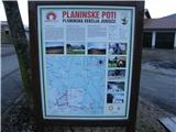 2
2 3
3 4
4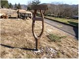 5
5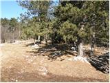 6
6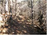 7
7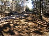 8
8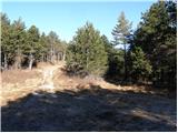 9
9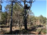 10
10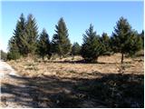 11
11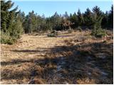 12
12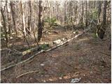 13
13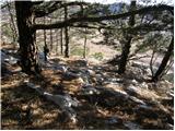 14
14 15
15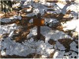 16
16
Discussion about the trip Juršče - Bele stene (western way)
To post a comment you must log in:
If you do not yet have a username, you must first
register.