Kal-Koritnica - Lipnik (above Lepena) (via Planina Golobar)
Starting point: Kal-Koritnica (450 m)
| Latitude/Longitude: | 46,33612°N 13,58222°E |
| |
Route name: via Planina Golobar
Walking time: 4 h 45 min
Difficulty: difficult unmarked way, easy pathless terrain
Elevation gain: 1420 m
Elevation difference along the route: 1420 m
Map: Julijske Alpe - zahodni del 1:50.000
Recommended equipment (summer):
Recommended equipment (winter):
Views: 235
 | 2 people like this post |
Access to starting point:
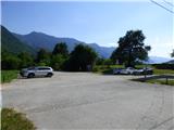
From Bovec we drive towards Trenta or vice versa, but only to the village of Kal-Koritnica, which is the starting point for our tour. We park in a large paid parking lot. If we drive from Bovec in the direction of Trenta, the parking lot is located on the right side of the road.
Route description:
From the parking lot we head onto a narrow road that runs parallel to the main road towards Trenta. Along this road we will also notice markings and signs for Planina Golobar. Initially the asphalt road leads us past a children's playground and quickly turns into a cart track. The cart track then turns right and takes us to a wide meadow. Here the cart track is less visible, but we walk in the direction of a bench and information boards.
At the bench we turn onto a footpath that begins to descend towards the Soča river. During the descent we follow the markings and the path leads us to a suspension bridge over which we cross the Soča river. On the other side of the river we begin to ascend and cross a somewhat wider gravel road along which run the routes of the Slovenian Cycling Route and Juliana Bike. We continue straight along a narrow marked path through the forest, which soon leads us to a gravel cart track. This time too we only cross the cart track and continue along a narrow path through the forest, where a signpost and markings also direct us.
Continuing we walk along a trail through the forest, which a little higher joins a poorer cart track. We continue left along the cart track, which we follow for a few bends, then a signpost directs us right onto a trail.
The path subsequently ascends somewhat more steeply and initially leads us near a stone barrier. Soon we reach even steeper slopes where the path leads us across an interesting passage under a steep rocky slope. Here the path is also slightly exposed and some caution is required. From the path at this section we also get some views, mainly towards Kanin. The path then leads us again to less steep slopes and subsequently ascends moderately through the forest for quite some time. We follow such a path all the way to an old forestry hut at an altitude of approximately 1000 meters.
From the hut, which we bypass on the left side, we continue further along the marked path through the forest. The path subsequently mostly runs along a military mule track. We follow such a path, which does not offer much view, all the way to Planina Golobar.
If at the beginning of the mountain pasture we look left we will notice a large concrete cross at the extreme north-eastern part of the pasture. We continue along a well-trodden trail to the signposts on the pasture.
At the signposts we turn left onto a less trodden trail where the signpost for the military cemetery directs us. The poorly visible path, which in this section is marked with red-black markings, then leads us to the mentioned cross. Behind the cross we ascend a few dozen meters along the path marked with red-black markings, then reach a gentle mule track. Here the path called Pot miru continues to the right, while we continue along the gentle mule track to the left. Along this mule track we cross the slope for only a good 100 meters, then reach a junction where another mule track branches off sharply to the right. At the beginning of this mule track we can notice a faded blue inscription 57 on one of the trees. We turn right onto the mentioned mule track and ascend through the forest. After a good 10 minutes of walking we reach a poorly visible junction where the mule track splits into two parts. We can already turn left here or continue straight for a few more minutes along the better visible mule track. Both run parallel in a south-easterly direction. If we continue straight we reach another junction after a few minutes, which is quite well visible.
This time we must turn left, while the straight path leads towards a military cavern. After a short transverse ascent the previously mentioned mule track joins from the left. We continue straight and subsequently continue ascending along the military mule track, which is occasionally somewhat less visible, but we can follow it without major difficulties. Higher up the forest becomes sparser and the path also leads us across a clearing from where we get some views. Subsequently the path mostly leads us along dwarf pines or shrubs and from the path we can already see the saddle between Srednja špica and Hudi vrh where our path leads. The path here turns slightly left and subsequently ascends left above the valley. We continue ascending mostly through dwarf pines along an occasionally quite steep slope. Higher up the path turns right towards the mentioned saddle. In the final section towards the saddle during the ascent we cross a very steep slope. Here the path is also somewhat overgrown, so especially in wet conditions great caution is required.
When we reach the saddle, a view towards Lipnik opens up. A short steep descent to the other side follows, then we cross steep slopes for some time. The path here is poorly trodden so some extra caution is required. The slope then becomes less steep and a further ascent follows along an increasingly less visible trail towards the summit. In the final section the trail is mostly no longer visible, but the slope is not excessively steep and the ascent does not cause major difficulties. Only the final ascent along a scenic slope to the summit remains.

Along the route: Gozdarska koča (992m), Planina Golobar (1257m)
Photos:
 1
1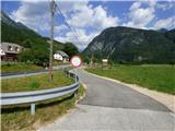 2
2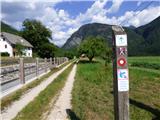 3
3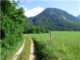 4
4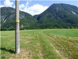 5
5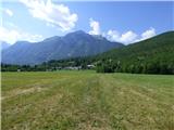 6
6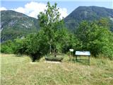 7
7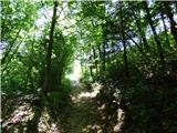 8
8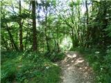 9
9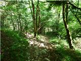 10
10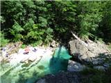 11
11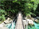 12
12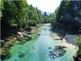 13
13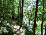 14
14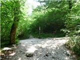 15
15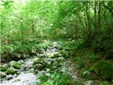 16
16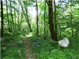 17
17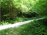 18
18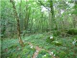 19
19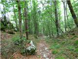 20
20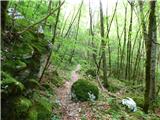 21
21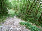 22
22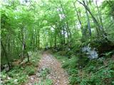 23
23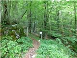 24
24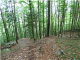 25
25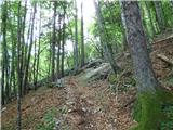 26
26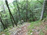 27
27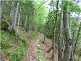 28
28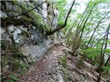 29
29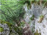 30
30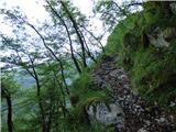 31
31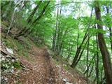 32
32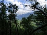 33
33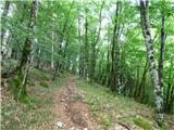 34
34 35
35 36
36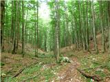 37
37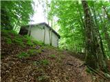 38
38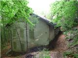 39
39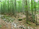 40
40 41
41 42
42 43
43 44
44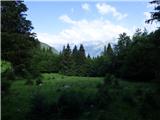 45
45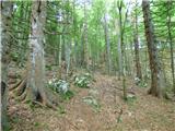 46
46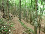 47
47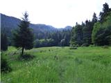 48
48 49
49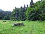 50
50 51
51 52
52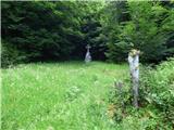 53
53 54
54 55
55 56
56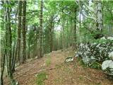 57
57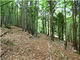 58
58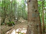 59
59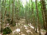 60
60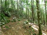 61
61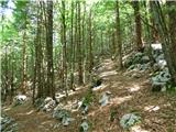 62
62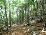 63
63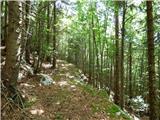 64
64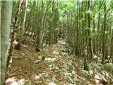 65
65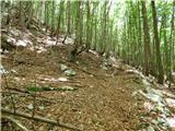 66
66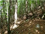 67
67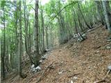 68
68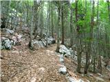 69
69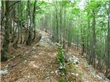 70
70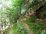 71
71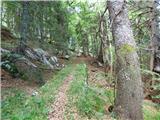 72
72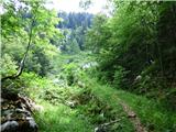 73
73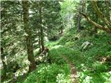 74
74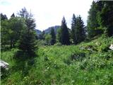 75
75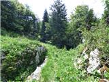 76
76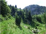 77
77 78
78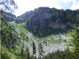 79
79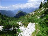 80
80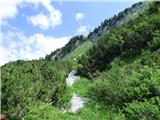 81
81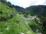 82
82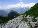 83
83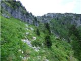 84
84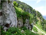 85
85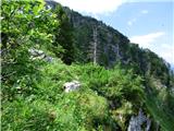 86
86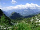 87
87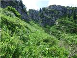 88
88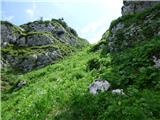 89
89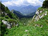 90
90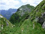 91
91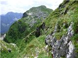 92
92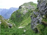 93
93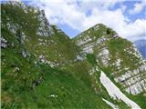 94
94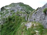 95
95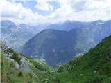 96
96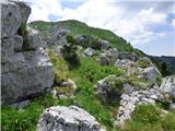 97
97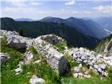 98
98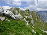 99
99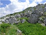 100
100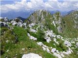 101
101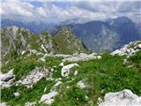 102
102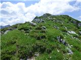 103
103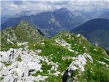 104
104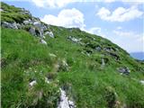 105
105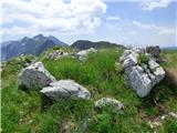 106
106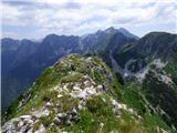 107
107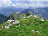 108
108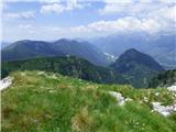 109
109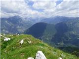 110
110
Discussion about the trip Kal-Koritnica - Lipnik (above Lepena) (via Planina Golobar)
To post a comment you must log in:
If you do not yet have a username, you must first
register.