Starting point: Kal (817 m)
| Latitude/Longitude: | 46,21510°N 13,94020°E |
| |
Walking time: 2 h 20 min
Difficulty: easy unmarked way
Elevation gain: 969 m
Elevation difference along the route: 969 m
Map: Škofjeloško in Cerkljansko hribovje 1:50.000
Recommended equipment (summer):
Recommended equipment (winter): ice axe, crampons
Views: 5.044
 | 1 person like this post |
Access to starting point:
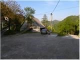
A) First, we drive to Škofja Loka, and then we continue driving towards Železniki, Podbrdo and Tolmin. A few kilometers after Podbrdo, we will get to a crossroad, where a narrower ascending road towards the villages Znojile, Stržišče and Kal branches off sharply to the right. We follow the relatively narrow road towards the village Kal, where we also park on an appropriate space in the middle of the village.
B) From the road Idrija - Most na Soči, at the settlement Bača pri Modreju we turn right, or left if we come from the direction of Posočje, and we continue driving towards Podbrdo. After the settlement Hudajužna, we get to a crossroad, where signs for the villages Znojile, Stržišče and Kal point us to the left onto a narrower ascending road. We then follow the relatively narrow road to the village Kal, where in the center of it we park on an appropriate space.
Route description:
At the starting point, we notice signs for Črna prst, which past a trough with water and some houses lead us to a cart track, which first ascends across a grassy slope, then passes into the forest, through which we then ascend for some time. Higher, we join a poorer forest road, which we follow to the right, walking along it to the marked junction on the saddle Sedlo.
From Sedlo, from where the path from Podbrdo joins us, we continue left and follow the cart track only for a short time, since then the blazes direct us left onto a footpath, which starts to ascend steeper and steeper through the forest. Higher, the path temporarily flattens somewhat, then brings us to a viewpoint with a bench. A little after the bench, the path splits into two parts (the right path is more trodden), then after approximately 15 minutes they unite again. Just a little above the junction of both paths, we arrive at the next bench, from which a beautiful view opens towards Kobla and the peaks above Soriška planina.
From the bench we continue through the forest for a short time, then the path passes onto increasingly panoramic grassy slopes. When we step out of the forest, the path slowly starts turning somewhat to the right, then turns left and ascends transversely to the saddle Čez Suho, where the path from the Bohinj side joins us.
On the mentioned saddle we leave the marked path and continue the ascent right on an unmarked trail, which ascends along the ridge of Rušni vrh. The steepness quickly eases and the increasingly panoramic path brings us after 5 minutes of walking from the place where we left the blazes to the little-visited summit.

Along the route: Sedlo (985m), Čez Suho (1760m)
Photos:
 1
1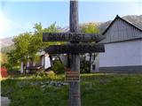 2
2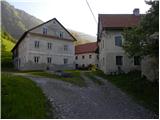 3
3 4
4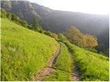 5
5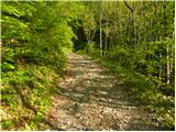 6
6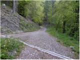 7
7 8
8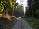 9
9 10
10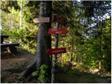 11
11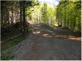 12
12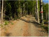 13
13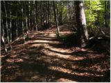 14
14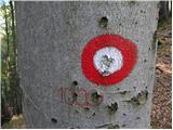 15
15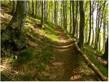 16
16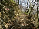 17
17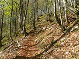 18
18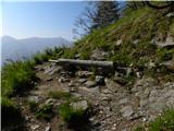 19
19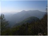 20
20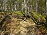 21
21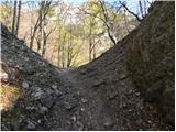 22
22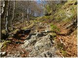 23
23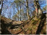 24
24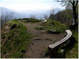 25
25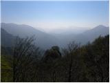 26
26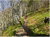 27
27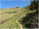 28
28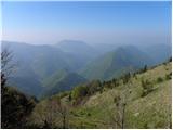 29
29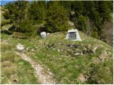 30
30 31
31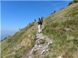 32
32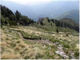 33
33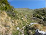 34
34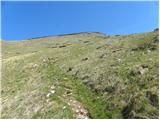 35
35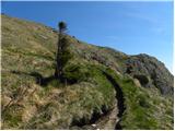 36
36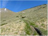 37
37 38
38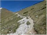 39
39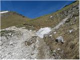 40
40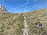 41
41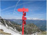 42
42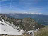 43
43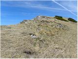 44
44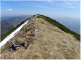 45
45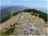 46
46 47
47
Discussion about the trip Kal - Rušni vrh
To post a comment you must log in:
If you do not yet have a username, you must first
register.