Kamna Gorica - Ojstra peč
Starting point: Kamna Gorica (459 m)
| Latitude/Longitude: | 46,31730°N 14,19380°E |
| |
Walking time: 25 min
Difficulty: easy unmarked way
Elevation gain: 57 m
Elevation difference along the route: 70 m
Map: Karavanke - osrednji del 1:50.000
Recommended equipment (summer):
Recommended equipment (winter): crampons
Views: 675
 | 1 person like this post |
Access to starting point:
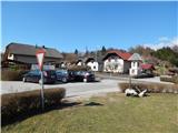
A) From the highway Ljubljana - Jesenice we go to the exit Naklo, Podtabor or Brezje, and then we continue driving in the direction of Kropa. At the crossroad, where the road continues straight towards Kropa, we turn right and a little further we get to Kamna Gorica, where in the middle of the settlement, by the sports field and playground we park on a smaller parking lot.
B) From the highway Jesenice - Ljubljana we go to the exit Lesce or Radovljica, and then we continue driving in the direction of Radovljica and later the villages Lancovo, Lipnica and Kamna Gorica. When we get to Kamna Gorica we park on a smaller parking lot by the children's playground.
Route description:
From the starting point, we first cross the road, and then we continue on a side road that runs to the right of the chapel. The road leads us past a few more houses, and then behind the last house the asphalt ends and the road a few meters further changes into a cart track, which splits into two parts.
We continue straight (left one of the paths to Pusti grad) on the cart track which continues along the edge of a small valley, along which we quickly arrive at a saddle, where there is a marked junction.
From the junction, by which there is a smaller landmark (cross), we continue right on an unmarked path (left Pusti grad, straight Radovljica and Fux footbridge). Already after a few steps of ascent, the path splits again, and we continue on the narrower left path, which steeply ascends along an indistinct ridge (slightly right path to Zjavko). The path soon flattens, and at the next junctions we stick to the left paths. There follows walking with some shorter ascents and descents, and then we notice a short path that turns left and after a short descent brings us to Ojstra peč.
Description and pictures refer to the condition in 2017 (March).

Photos:
 1
1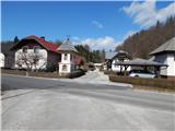 2
2 3
3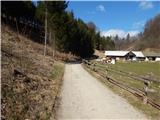 4
4 5
5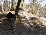 6
6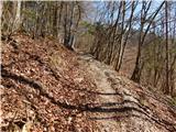 7
7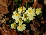 8
8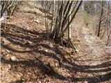 9
9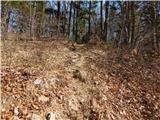 10
10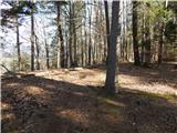 11
11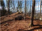 12
12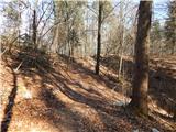 13
13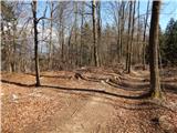 14
14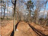 15
15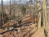 16
16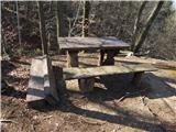 17
17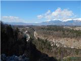 18
18 19
19
Discussion about the trip Kamna Gorica - Ojstra peč
To post a comment you must log in:
If you do not yet have a username, you must first
register.