Kamna Gorica - Planinski dom Goška ravan
Starting point: Kamna Gorica (459 m)
| Latitude/Longitude: | 46,31670°N 14,18890°E |
| |
Walking time: 2 h 30 min
Difficulty: easy unmarked way
Elevation gain: 474 m
Elevation difference along the route: 575 m
Map: Karavanke - osrednji del 1:50.000
Recommended equipment (summer):
Recommended equipment (winter): ice axe, crampons
Views: 1.030
 | 1 person like this post |
Access to starting point:
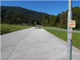
A) From the Ljubljana - Jesenice highway, we take the Naklo, Podtabor or Brezje exit, then continue driving towards Kropa. At the crossroads where the road continues straight towards Kropa, we turn right and shortly afterwards arrive in Kamna Gorica, where at the end of the settlement we park on the left side on the arranged parking lot near the cemetery and ski slope.
B) From the Jesenice - Ljubljana highway, we take the Lesce or Radovljica exit, then continue driving towards Radovljica and later the villages Lancovo, Lipnica and Kamna Gorica. When we arrive in Kamna Gorica, we park on the arranged parking lot near the cemetery and ski slope.
Route description:
From the parking lot, we continue along the main road towards Radovljica, at the road sign which marks the end or beginning of the settlement Kamna Gorica we continue slightly left, onto a cart track where a signpost for Vodice na kozolcu directs us. The path first leads along the foot of the Kamna Gorica ski slope, from where some views open onto the two-thousanders of the Julian Alps, where Škrlatica is seen most beautifully, then the cart track enters the forest and starts to ascend more steeply. The cart track quickly flattens and brings us to a belt of sparse forest, where we continue straight. Across some kind of clearing we go past a spring, and when the path returns into the forest it slowly turns to the left, where we arrive at a marked junction.
We continue on the left cart track in the direction of Vodice, a little higher a beautiful view opens in the direction of Storžič and Karavanks. When we return into the forest, at the junctions we continue straight or on that cart track which looks wider. Higher we arrive in a small valley, where we stick to the right forks, the wider cart track narrows and more frequent blazes appear along the path. From the old cart track we go left onto an abandoned skid trail, along which we ascend quite steeply, at the junctions following the blazes, which are here quite frequent. When we arrive at the area named Lazi, on the right we will notice older hanging hayracks, the path here turns somewhat to the left. Higher from the skid trail we pass onto a wider path, which ascends in zigzags. Such a path brings us higher to a junction, from which we continue slightly right in the direction of Suharna (slightly left Vodice).
Next follows traversing without major ascents or descents, the path along which there are still blazes after a few minutes of traversing brings us to a forest road, along which we continue the path. While walking on the road, to the right downwards a path branches off to the viewpoint Suharna (unmarked), to the left two paths branch off towards Vodice (marked). After approximately 10 minutes of walking on the road we arrive at Razpok, where from the hut, which is located on the edge of the plateau, a nice view opens onto Gorenjska and Karavanks.
From the junction at Razpok we continue right and continue walking on the macadam road, which leads us along the edge of the plateau. During the slight descent occasionally a nice view opens onto Karavanks, a little further also onto the Julian Alps, where Triglav is nicely visible. The road further withdraws somewhat to the left from the edge of Jelovica and brings us to Ažmanov rovt, where some weekend cottages stand.
We continue on the main macadam road and past the hunting hut in 10 minutes of further walking we arrive at the mountain pasture Goška Ravan, a little further also to the mountain hut Goška Ravan, which is located a few steps from the road to the left.
Kamna Gorica - Razpok 2:00, Razpok - Ažmanov rovt 0:30, Ažmanov rovt - Goška Ravan 0:10.
Description refers to the condition in September 2019, and the pictures are from May and September 2019.

Along the route: Razpok (1002m), Ažmanov rovt (960m)
Photos:
 1
1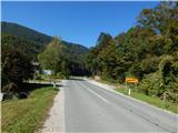 2
2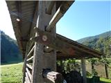 3
3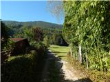 4
4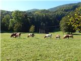 5
5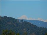 6
6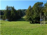 7
7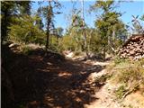 8
8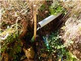 9
9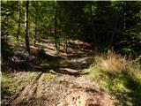 10
10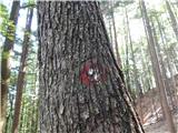 11
11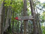 12
12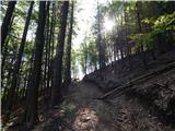 13
13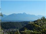 14
14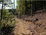 15
15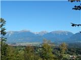 16
16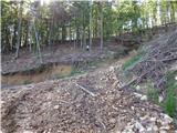 17
17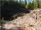 18
18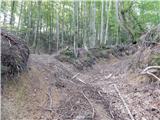 19
19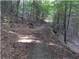 20
20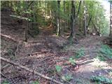 21
21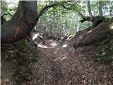 22
22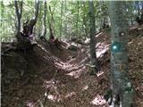 23
23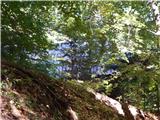 24
24 25
25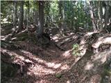 26
26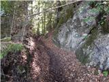 27
27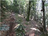 28
28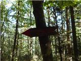 29
29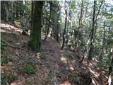 30
30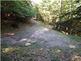 31
31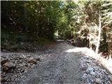 32
32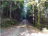 33
33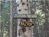 34
34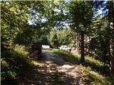 35
35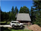 36
36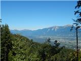 37
37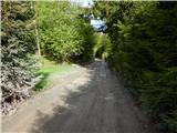 38
38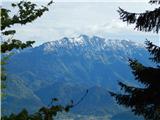 39
39 40
40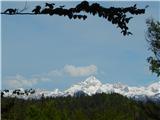 41
41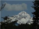 42
42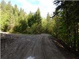 43
43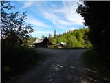 44
44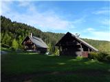 45
45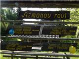 46
46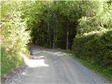 47
47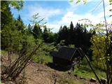 48
48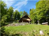 49
49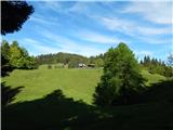 50
50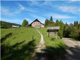 51
51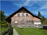 52
52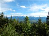 53
53
Discussion about the trip Kamna Gorica - Planinski dom Goška ravan
To post a comment you must log in:
If you do not yet have a username, you must first
register.