Kamnica - Sveti Miklavž above Sava (via Velika vas)
Starting point: Kamnica (293 m)
| Latitude/Longitude: | 46,09860°N 14,68300°E |
| |
Route name: via Velika vas
Walking time: 2 h 5 min
Difficulty: easy marked way
Elevation gain: 448 m
Elevation difference along the route: 510 m
Map:
Recommended equipment (summer):
Recommended equipment (winter): crampons
Views: 1.810
 | 3 people like this post |
Access to starting point:
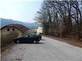
A) From the highway Ljubljana - Celje we take the exit Šentjakob and follow the road ahead towards Litija. At the Mercator store in Dolsko we turn left and on a somewhat narrower road we drive to the parking lot by the parish church of St. Helena.
B) First, we drive to Litija, and then we continue driving towards Ljubljana. At the Mercator store in Dolsko we turn right and on a somewhat narrower road we drive to the parking lot by the parish church of St. Helena.
Route description:
From the starting point, we start ascending and after a few dozen steps we join a somewhat wider road, which we follow to the right. Further on, we ascend on the asphalt road, which higher up has some marked shortcuts, and when the hairpin turns end, we continue the ascent on the road. Higher, the road leads us past a few more hamlets and two turn-offs of the path to the left towards Murovica, while we all the time continue straight on the asphalt road. After both turn-offs we arrive at the center of the settlement Zagorica pri Dolskem, where the path leads us past the birth house of baron Jurij Vega, who was born in 1754.
When Zagorica ends, we quickly arrive at the church in Križevska vas, which we bypass on the right side (sharply left farm Buven, left Cicelj). There follows some descent, then the path leads us past a few more houses. There follows a longer crossing of the southern slopes of Ciclja, and the path leads us past the NOB memorial and past the turn-off of the hunting path to Cicelj, all the way to Velika vas. Through the village we follow the blazes or signs for sv. Miklavž, and the path from the settlement Senožeti also joins us.
At the junction, where we join the path from Senožeti, we continue left onto a cart track, which turns into forest. The cart track quickly turns into a mountain path, which then ascends diagonally towards the right. On the section where the slope flattens, a marked path to Cicelj branches off to the left, while we continue straight towards sv. Miklavž. A little further on, the path takes us out of the forest onto an extensive meadow, where the path turns somewhat to the left towards the last house in the village, on which we notice a logbook box.
From the last house we continue upwards on the cart track, which climbs across the meadow and after a few minutes brings us to the church of sv. Miklavž, which is located on a panoramic elevation.
Kamnica - Križevska vas 1:00, Križevska vas - Velika vas 25 minutes, Velika vas - sv. Miklavž 40 minutes.

Along the route: Zagorica pri Dolskem (547m), Križevska vas (584m), Velika vas (510m)
Photos:
 1
1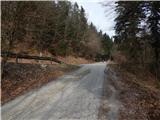 2
2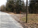 3
3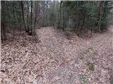 4
4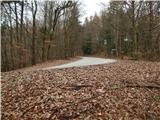 5
5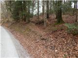 6
6 7
7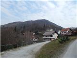 8
8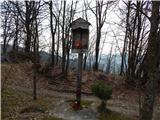 9
9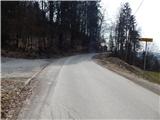 10
10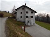 11
11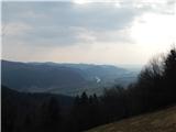 12
12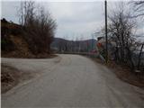 13
13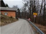 14
14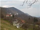 15
15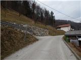 16
16 17
17 18
18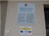 19
19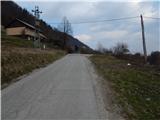 20
20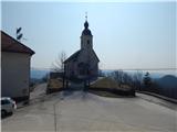 21
21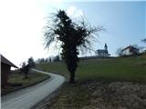 22
22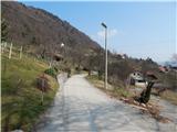 23
23 24
24 25
25 26
26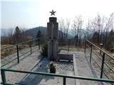 27
27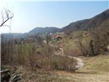 28
28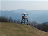 29
29 30
30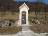 31
31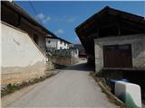 32
32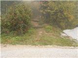 33
33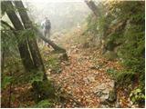 34
34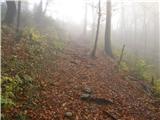 35
35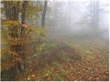 36
36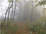 37
37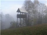 38
38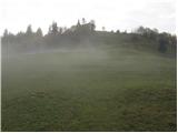 39
39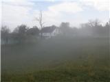 40
40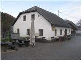 41
41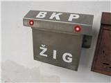 42
42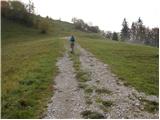 43
43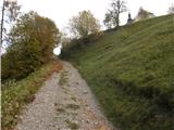 44
44 45
45 46
46
Discussion about the trip Kamnica - Sveti Miklavž above Sava (via Velika vas)
To post a comment you must log in:
If you do not yet have a username, you must first
register.