Kamnolom Ljubelj - Ljubelj
Starting point: Kamnolom Ljubelj (220 m)
Walking time: 50 min
Difficulty: easy marked way
Elevation gain: 336 m
Elevation difference along the route: 336 m
Map:
Recommended equipment (summer):
Recommended equipment (winter): ice axe, crampons
Views: 1.020
 | 1 person like this post |
Access to starting point:
We leave the Varaždin - Zagreb motorway at the exit for the town of Novi Marof, then continue left towards Ljubeščica. After one kilometre of further driving, continue right towards the village of Ljubelj and the Ljubeščica quarry, which is already visible from the motorway. Continue past the quarry and past a few farms along Križevačka Street. Further on, the road enters a gorge and shortly afterwards reaches the second quarry, from which the road continues towards the villages of Kalnik and Borje. Park at a suitable spot at the beginning of the quarry or at the next junction 100 m further towards the village of Kapelski Ljubelj.
Route description:
Leave the asphalt road going east from the quarry at the first junction and go left north. Soon reach the Ivanek farm, where there are quite loud dogs. Orientation is easy because the summit is ahead. The path rises steeply here through the forest.
Walk through the forest for five minutes, then reach the saddle between the villages Ljubelj Kalnički and Ljubelj Kapelski.
Continue along the pastures and reach a junction where illogical markings can cause one to stray.
The marking indicates straight ahead (direction to Varaždinske Toplice), but if we look right east, we will notice another marking on the power line pole with Ljubelj inscription. Continue right towards Ljubelj.
The path further returns to the forest and leads under the cliffs of the summit, becoming more difficult and especially slippery when wet.
After the steep section, the path flattens temporarily, then turns right and becomes steeper again, leading higher to the ridge where it ascends gently to moderately. Further, the path becomes rockier and steeper again, passing by a larger natural cave along the way.
Higher up, the path flattens and through the forest we reach the turning loop of the forest track. From here, two more minutes of walking to the summit.
On the summit there is a bench for rest. Since the summit is in the forest, there is no view, only in winter some view opens through the tree canopies to the north.

Photos:
 1
1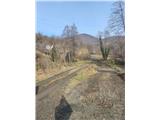 2
2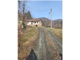 3
3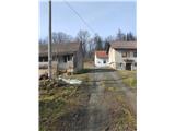 4
4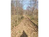 5
5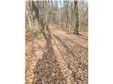 6
6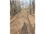 7
7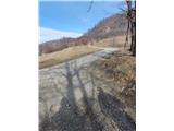 8
8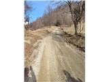 9
9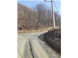 10
10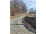 11
11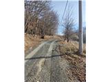 12
12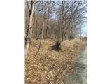 13
13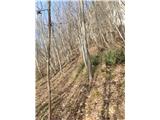 14
14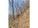 15
15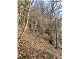 16
16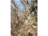 17
17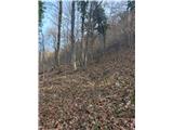 18
18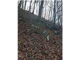 19
19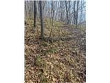 20
20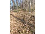 21
21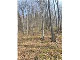 22
22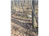 23
23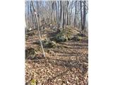 24
24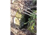 25
25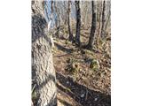 26
26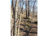 27
27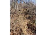 28
28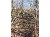 29
29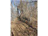 30
30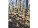 31
31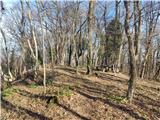 32
32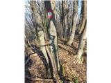 33
33
Discussion about the trip Kamnolom Ljubelj - Ljubelj
To post a comment you must log in:
If you do not yet have a username, you must first
register.