Starting point: Kanal (106 m)
| Latitude/Longitude: | 46,51665°N 13,38496°E |
| |
Walking time: 3 h
Difficulty: easy marked way
Elevation gain: 706 m
Elevation difference along the route: 706 m
Map:
Recommended equipment (summer):
Recommended equipment (winter):
Views: 4.140
 | 1 person like this post |
Access to starting point:
A) from Bovec: to Kobarid on the road 203, then to Tolmin on the road 102 and further to Kanal on the road 103.
B) from Ljubljana: to Razdrto on the highway A1 (E70), then to Nova Gorica on the expressway H4 and further to Kanal on the road 103.
C) from Koper: to Srmin on the expressway H5, then to Razdrto on the highway A1 (E70), then to Nova Gorica on the expressway H4 and further to Kanal on the road 103.
D) The starting point can also be reached by ordinary or museum Bohinj train.
Route description:
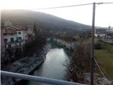
Over the bridge above the Soča River we go below the railway bridge or, if we came by train, we go from the railway station along the track to the intersection and then left below the track where we come again to the intersection where there are signposts for Marijino Celje and Korada. We continue on the asphalt road towards Gorenja vas and soon at the first house a marking directs us right. We follow the markings past houses, and then we again get to signposts where the paths branch off. We continue in the direction of Korada on a cart track. Soon the path starts moderately ascending and when we look back we can notice the view on Kanal. In the forest we follow markings, which at new forks mostly lead us to the right. Soon the path crosses a cart track, and we continue straight past the (collapsed) hut. A wider footpath is replaced by a narrower one ascending through the forest. We soon get to the hamlet Ravna, where for a very short time we go on asphalt downwards to the farm where our path continues right. On a wider forest footpath we come to a fork which is not marked. We continue right where on a slight rise we soon get to a red sign. The path ahead is quite overgrown and piled with dead trees and branches. When we come to an asphalt road we continue left along it. We meet a signpost for St. Jakob and we continue on a footpath parallel to the road. When we ascend, wonderful views start opening up on the right side on the Krn group and other mountain ranges. When we get to a junction we have the option to go to the church of St. Jakob or we continue right towards Korada. A narrow footpath winds through the forest and nearby there is also a gray, not very busy road onto which we soon step. Grassy slopes open up, we continue above the Vrtače to an intersection where signposts direct us across the meadow through the grove. We soon get to St. Genderca and along the slope we continue to a wide meadow where our destination awaits.

Photos:
 1
1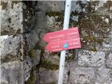 2
2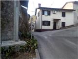 3
3 4
4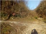 5
5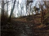 6
6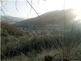 7
7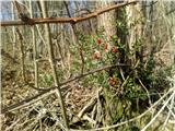 8
8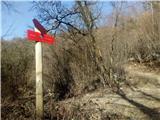 9
9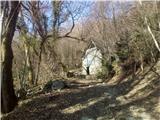 10
10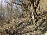 11
11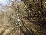 12
12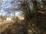 13
13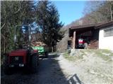 14
14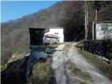 15
15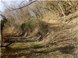 16
16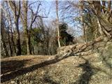 17
17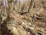 18
18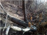 19
19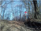 20
20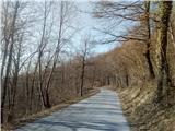 21
21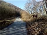 22
22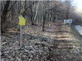 23
23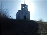 24
24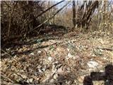 25
25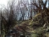 26
26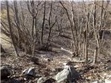 27
27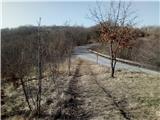 28
28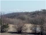 29
29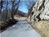 30
30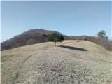 31
31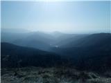 32
32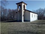 33
33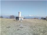 34
34
Discussion about the trip Kanal - Korada
To post a comment you must log in:
If you do not yet have a username, you must first
register.