Klanjec - Cesargradska gora (Eko staza)
Starting point: Klanjec (262 m)
Route name: Eko staza
Walking time: 45 min
Difficulty: easy marked way
Elevation gain: 247 m
Elevation difference along the route: 257 m
Map:
Recommended equipment (summer):
Recommended equipment (winter):
Views: 1.800
 | 2 people like this post |
Access to starting point:
A) If we arrive in Croatia through the border crossing Orešje on Bizeljsko, we are already in Klanjec. The official beginning of the path is at the railway station Klanjec, but it has been abandoned for some time. We leave the vehicle somewhere in the settlement or nearby.
B) We leave the highway Macelj-Krapina-Zagreb at the exit Zabok and continue in the direction of Klanjec and Kumrovec. When we come to the settlement Klanjec, tourist signs direct us to the beginning of the path.
Route description:
The official beginning of the path is at the railway station Klanjec, which has been abandoned for some time and the railway line is closed.
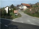
We will begin the path at the tourist signs by the road Zabok-Kumrovec. We go ahead and notice the first signs. The path at the beginning is steep and asphalted, after the sharp right turn a nice view opens up on Klanjec below us and Kunšperk to the west. We go ahead and come to a junction, where we will turn right (straight ahead - supply road to the mountain hut).
The Eko trail runs from the top of Japica to here and further along the supply road back to the mountain hut. Therefore all the signs that assist us are turned in the direction of the return.
From the junction onwards we are accompanied by signs in the shape of a white circle and a green triangle in it.
We continue right on a narrower asphalt road which crosses the south slope, and during the walk we notice some vineyards. When the asphalt ends we come to constructed steps and the next road, which we follow to the left. A minute ahead we are again at a junction and we go left again. In the forest there will also be a third junction and there too we go left.
Further on we arrive at a short clearing, where there is an interesting weekend house. After the clearing we enter a dense forest and also to the fourth junction, where we go left.
The path further leads us past two abandoned farms of the former village Cesarska vas, which was located on the eastern side of the mountain and reached to the top. After the farms we come into the forest, and the path becomes steeper.
After two turns the path ascends under the summit, where we leave the forest, cross another abandoned farm and we are on the summit.
On the summit there is a communications facility and benches for rest. The view is limited to the northeast, where we see Strahinjščica and Donačka gora.
If we continue further along the trail, in 10 minutes of easy walking we reach the mountain hut and a further 5 minutes to the ruins of the Cesargrad fort.

Photos:
 1
1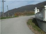 2
2 3
3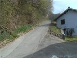 4
4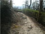 5
5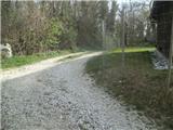 6
6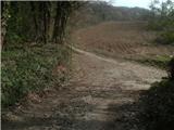 7
7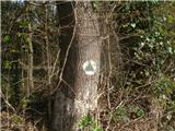 8
8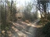 9
9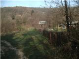 10
10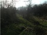 11
11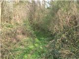 12
12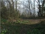 13
13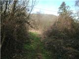 14
14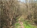 15
15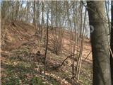 16
16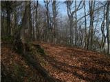 17
17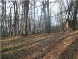 18
18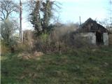 19
19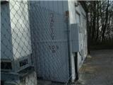 20
20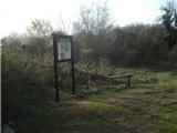 21
21
Discussion about the trip Klanjec - Cesargradska gora (Eko staza)
To post a comment you must log in:
If you do not yet have a username, you must first
register.