Kobilje - Bukovniško jezero
Starting point: Kobilje (185 m)
| Latitude/Longitude: | 46,68130°N 16,39034°E |
| |
Walking time: 1 h 10 min
Difficulty: easy marked way
Elevation gain: 4 m
Elevation difference along the route: 60 m
Map: Pomurje 1:40.000
Recommended equipment (summer):
Recommended equipment (winter):
Views: 95
 | 1 person like this post |
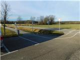
Access to starting point:
Leave the Pomurska motorway at the Gančani exit, then follow the signs for Renkovci and further to Dobrovnik. When we reach the main road Murska Sobota - Lendava in Dobrovnik, we continue right, from the nearby roundabout we head in the direction of the signs for Kobilje. We then drive towards Hungary, later leave the main road towards Hungary and continue left towards Kobilje. Before the settlement Kobilje we arrive at the Kobilje cemetery, where we park, we can also park at some other parking lot in Kobilje.
Route description:
From the starting point continue along the cycle connection towards Dobrovnik, already after a few minutes go right, first carefully across the road to the side road, along which there are signs for Voglerjeva koča (on some signs also written as Voglarjeva koča). Continue along the gravel road, which initially leads us between extensive meadows, on which the information boards along the path also alert us. Later the path turns left and gradually transitions into forest, where it begins to ascend gently, and we follow the yellow-white markings. Initially the path leads us still along the Čibiš stream, which is interesting due to the bends it makes on the gentle section through the forest, where we also go past the Zgornje Kobilje Forest Reserve. The gravel road, which also has some smaller intersections, ascends moderately higher, and we follow it to a kind of ridge in the direction of Voglerjeva koča.
At the ridge we reach a road junction, and we continue straight downhill in the direction of Bukovniško jezero (left Dobrovnik, right Voglerjeva koča and Motvarjevci). There follows some descent through the forest along the gravel road, which leads us towards the southwest, when lower we reach a somewhat wider road, we go left (right Bukovnica) and quickly arrive at Bukovniško jezero.
Description and pictures refer to the state in February 2026.

Along the route: Gozdni rezervat Zgornje Kobilje (210m)
Photos:
 1
1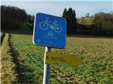 2
2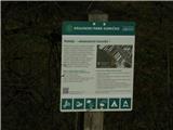 3
3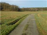 4
4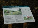 5
5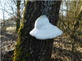 6
6 7
7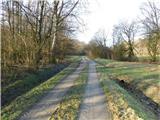 8
8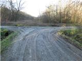 9
9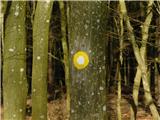 10
10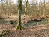 11
11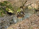 12
12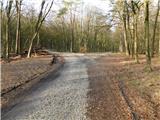 13
13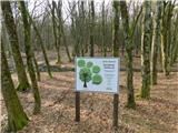 14
14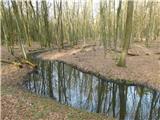 15
15 16
16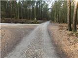 17
17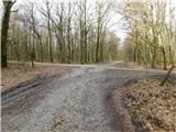 18
18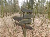 19
19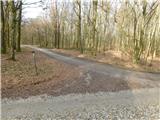 20
20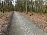 21
21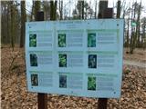 22
22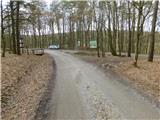 23
23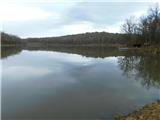 24
24
Discussion about the trip Kobilje - Bukovniško jezero
To post a comment you must log in:
If you do not yet have a username, you must first
register.