Koča na Gozdu - Vršič vrh (on old road)
Starting point: Koča na Gozdu (1226 m)
| Latitude/Longitude: | 46,43990°N 13,76240°E |
| |
Route name: on old road
Walking time: 1 h 30 min
Difficulty: easy unmarked way
Elevation gain: 511 m
Elevation difference along the route: 511 m
Map: Kranjska Gora 1:30.000
Recommended equipment (summer):
Recommended equipment (winter): ice axe, crampons
Views: 20.231
 | 2 people like this post |
Access to starting point:
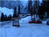
From Kranjska Gora over the mountain pass Vršič we drive towards Bovec or vice versa, but only to the mountain hut Koča na Gozdu, where we park on the parking lot in front of the mountain hut.
Route description:
From the mountain hut Koča na Gozdu we continue on the Ruska cesta towards the mountain pass Vršič. After a few hairpin turns the road flattens and brings us to a larger meadow, by which there are numerous information boards. From here we follow the asphalt road only a few 10 m, then on the left side we notice the beginning of the old road or mule track, which leads towards the mountain hut Poštarski dom na Vršiču.
The path at the beginning bypasses a wooden hut, then in numerous zigzags begins a moderate ascent. Higher up the path from the mountain hut Erjavčeva koča also joins us, and we continue on the wide mule track, which a little further crosses a somewhat steeper slope (in snow danger of avalanche and slipping). Higher the forest thins out, and the path gradually transitions to the southeastern slopes of Vršič (1737 m). Here the path flattens even more and with increasingly beautiful views on the surrounding mountains quickly brings us to the mountain hut Poštarski dom na Vršiču.
At the mountain hut Poštarski dom we notice signs for Vršič, which direct us slightly to the right onto a clearly visible footpath, which gradually enters a belt of dwarf pines. Here the path begins to ascend more steeply and after a few minutes of ascent over a slope, which is partly overgrown with dwarf pines, brings us to the 1737 m high summit.

Photos:
 1
1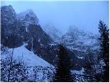 2
2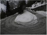 3
3 4
4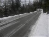 5
5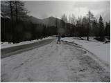 6
6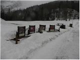 7
7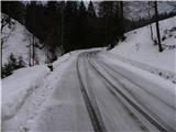 8
8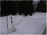 9
9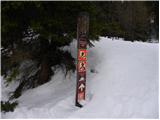 10
10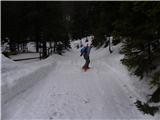 11
11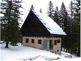 12
12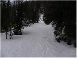 13
13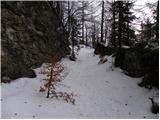 14
14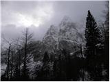 15
15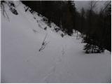 16
16 17
17 18
18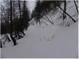 19
19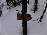 20
20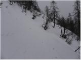 21
21 22
22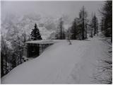 23
23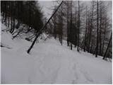 24
24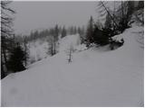 25
25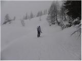 26
26 27
27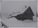 28
28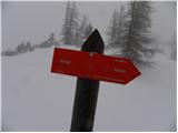 29
29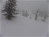 30
30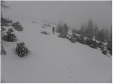 31
31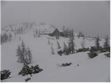 32
32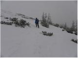 33
33 34
34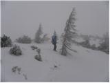 35
35 36
36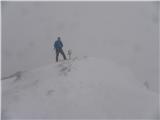 37
37
Discussion about the trip Koča na Gozdu - Vršič vrh (on old road)
|
| mavrica2. 01. 2013 |
On Sunday my boyfriend and I set off on this path to Vršič. Winter fairy tale. But we'll go there someday in summer too The weather was wonderful. Sunny rays warmed us along with love all the way to the top The weather was wonderful. Sunny rays warmed us along with love all the way to the top
|
|
|
To post a comment you must log in:
If you do not yet have a username, you must first
register.