Koča na Pikovem - Pikov vrh
Starting point: Koča na Pikovem (992 m)
| Latitude/Longitude: | 46,48920°N 14,83640°E |
| |
Walking time: 30 min
Difficulty: easy unmarked way
Elevation gain: 157 m
Elevation difference along the route: 165 m
Map: Koroška 1:50.000
Recommended equipment (summer):
Recommended equipment (winter):
Views: 2.230
 | 1 person like this post |
Access to starting point:
We drive to Črna na Koroškem, and then we follow the signs for Podpeca and later Koča na Pikovem. We park on the parking lot near the mountain hut Koča na Pikovem.
Route description:
From the parking lot, we walk to the church of St. Helena and the mountain hut Koča na Pikovem, then behind the church we continue left on the path in the direction of Veliki vrh. The path ahead leads us on a worse macadam road, which at first runs through the forest and then through meadows, from which a beautiful view opens up. Behind the homestead Pik the road changes into a cart track, and by the edge of the forest the path to Pikov vrh branches off to the right.
We continue in the direction of Pikov vrh and begin to ascend more steeply through the forest on an unmarked path. Higher up, the path from Pikovo znamenje joins from the left, and in a few minutes of additional walking we arrive at Pikov vrh, where there is a lookout tower.
Description and pictures refer to the condition in the year 2018 (May).
Along the route: Sveta Helena (992m)
Photos:
 1
1 2
2 3
3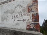 4
4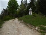 5
5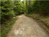 6
6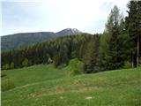 7
7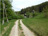 8
8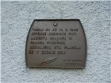 9
9 10
10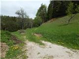 11
11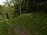 12
12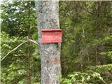 13
13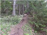 14
14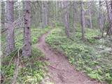 15
15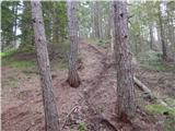 16
16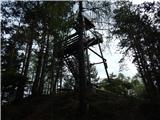 17
17 18
18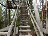 19
19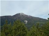 20
20 21
21
Discussion about the trip Koča na Pikovem - Pikov vrh
To post a comment you must log in:
If you do not yet have a username, you must first
register.