Koča pri izviru Soče - Sovna glava
Starting point: Koča pri izviru Soče (886 m)
| Latitude/Longitude: | 46,40930°N 13,72550°E |
| |
Walking time: 2 h 40 min
Difficulty: easy marked way
Elevation gain: 864 m
Elevation difference along the route: 864 m
Map: TNP 1:50.000
Recommended equipment (summer):
Recommended equipment (winter): ice axe, crampons
Views: 4.986
 | 1 person like this post |
Access to starting point:
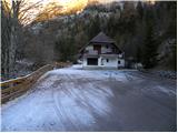
From Kranjska Gora, over the Vršič Pass we drive towards Bovec or vice versa, and we follow the road to the 49th hairpin turn of the Ruska cesta or Vršiška cesta. Here we turn onto a side road, along which after approximately 1 km of additional driving, we arrive at the parking lot at the Koča pri izviru Soče.
Route description:
From the parking lot, we return along the road about 50 m back, then we continue in the direction of the footpath to Vršič. The path starts by a smaller stone fence, then past a smaller hut leads us into the forest. Through the forest we gently ascend for a short time, then the blazes lead us to the other side of the stream Limarica. Ahead we gradually start to ascend more steeply along the left bank of Limarica, and from the path that runs below the steep walls of Maklenova peč, nice views start opening up on Bavški Grintavec and the ridge of Pelci. Higher the path enters the forest, through which we then ascend for quite some time. Through the forest we ascend along an old mule track, which higher we leave as the sign for Vršič directs us left onto a leaf-covered footpath, which soon joins the old macadam road.
We follow the road to the right, then after a few minutes of ascent we leave it, as somewhat poorly visible blazes direct us left. Higher we rejoin the road, which brings us out of the forest onto increasingly panoramic slopes. With a view of the surrounding peaks, we walk to the memorial plaque, and just a few meters behind the plaque we leave the road and continue left across the torrent gully. We follow this path, which further ascends diagonally across occasionally somewhat steeper slopes, all the way to the asphalt road.
When we reach the Ruska cesta, along it in about 10 minutes we ascend almost to the Vršič Pass, then just before the start of the parking lot we continue right towards the nearby Tičarjev dom, which we reach after a few dozen steps of further walking.
From Tičarjev dom we continue along the macadam road, along which we start to moderately ascend across panoramic slopes. With a view of the surrounding peaks, we soon arrive at the marked junction.
Here we continue right in the direction of Prisanka and Razor (straight along the road to Poštarski dom and the summit of Vršič) and we continue along the well-trodden mountain path, which for some time continues along the gentle and panoramic ridge. After a few minutes the path starts to ascend more steeply through the thinner belt of dwarf pines, then it levels out and brings us right below the summit of the grassy Sovna glava. Here we leave the marked path and after a few steps of pathless terrain we ascend to the panoramic and spacious summit.

Photos:
 1
1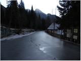 2
2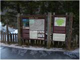 3
3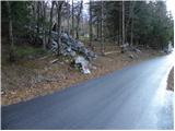 4
4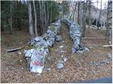 5
5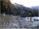 6
6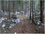 7
7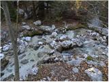 8
8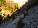 9
9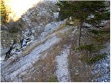 10
10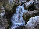 11
11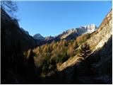 12
12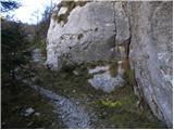 13
13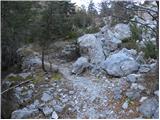 14
14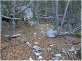 15
15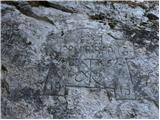 16
16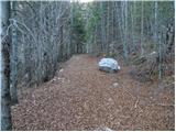 17
17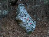 18
18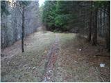 19
19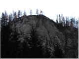 20
20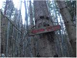 21
21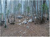 22
22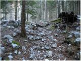 23
23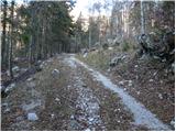 24
24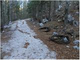 25
25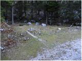 26
26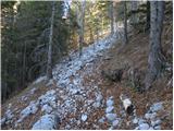 27
27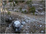 28
28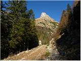 29
29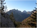 30
30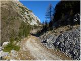 31
31 32
32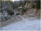 33
33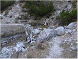 34
34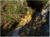 35
35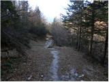 36
36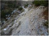 37
37 38
38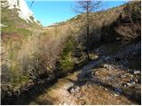 39
39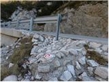 40
40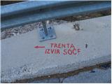 41
41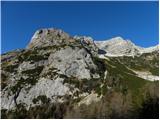 42
42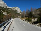 43
43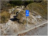 44
44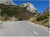 45
45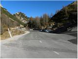 46
46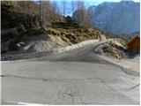 47
47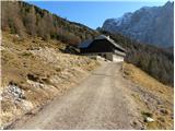 48
48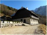 49
49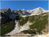 50
50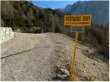 51
51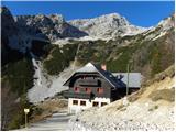 52
52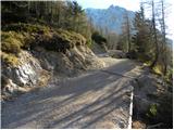 53
53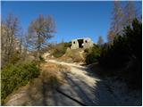 54
54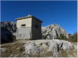 55
55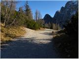 56
56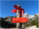 57
57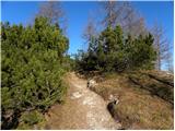 58
58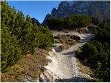 59
59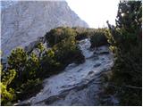 60
60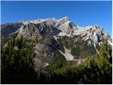 61
61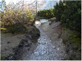 62
62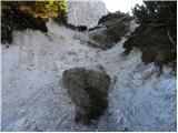 63
63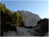 64
64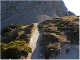 65
65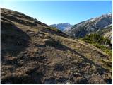 66
66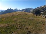 67
67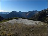 68
68 69
69
Discussion about the trip Koča pri izviru Soče - Sovna glava
To post a comment you must log in:
If you do not yet have a username, you must first
register.