Kočevska Reka - Goteniški Snežnik
Starting point: Kočevska Reka (550 m)
| Latitude/Longitude: | 45,57592°N 14,79632°E |
| |
Walking time: 3 h 15 min
Difficulty: easy marked way
Elevation gain: 739 m
Elevation difference along the route: 739 m
Map:
Recommended equipment (summer):
Recommended equipment (winter):
Views: 13.905
 | 1 person like this post |
Access to starting point:
a) From Ljubljana we drive towards Kočevje. Soon after Ribnica, near Dolenja vas, we will notice signs for the villages Grčarice, Gotenica and Kočevska Reka, which direct us right from the main road. We follow the mentioned road through Grčarice and Gotenica all the way to the settlement Kočevska Reka. In the middle of the village, directly in front of the building of the Zavod za gozdove (Kočevska Reka 40), we turn right onto the arranged parking lot, where we park.
b) We can also reach the starting point from the direction of the settlement Borovec pri Kočevski Reki (or from the direction of Kočevje through Šalko vas and Livold). At the intersection in Kočevska Reka we continue through the center of the village in the direction of Gotenica. A little further, on the right side of the road, we will notice the building of the Zavod za gozdove, in front of which we turn left onto the arranged parking lot.
Route description:
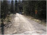
From the parking lot at the building of the Zavod za gozdove we continue for a short section along the main road in the direction towards Gotenica (if we came according to description a, we walk back in the direction of arrival, if we came according to description b, we continue forward in the direction of driving). Then we turn onto a gravel road, which first descends slightly, then begins to ascend through extensive forests.
Higher up the marked path leaves the road several times and follows shortcuts, but soon rejoins it again. After a long walk along the road, which has quite a few intersections (we always follow the markings precisely), we finally leave it.
We continue the ascent along a relatively overgrown mountain path, which begins to ascend more steeply. The marked path then turns somewhat more to the right and after a few more minutes of walking brings us below the very summit of Goteniški Snežnik.
Here the still overgrown path ascends steeply over a short step, after which the steepness eases. We follow this path, which runs through the forest the whole time, all the way to the summit of Goteniški Snežnik, from which a beautiful view opens towards the northeast.

Photos:
 1
1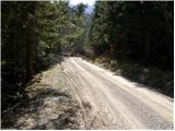 2
2 3
3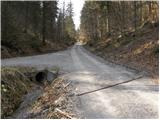 4
4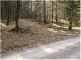 5
5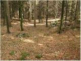 6
6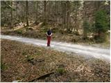 7
7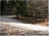 8
8 9
9 10
10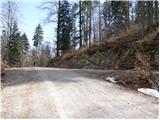 11
11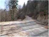 12
12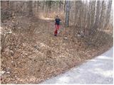 13
13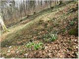 14
14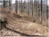 15
15 16
16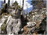 17
17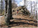 18
18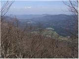 19
19 20
20
Discussion about the trip Kočevska Reka - Goteniški Snežnik
To post a comment you must log in:
If you do not yet have a username, you must first
register.