Kokra (počivališče Kokra-sotočje) - Zapečnikova planina
Starting point: Kokra (počivališče Kokra-sotočje) (520 m)
| Latitude/Longitude: | 46,30360°N 14,47800°E |
| |
Walking time: 1 h
Difficulty: easy unmarked way
Elevation gain: 320 m
Elevation difference along the route: 320 m
Map: Karavanke - osrednji del 1:50.000
Recommended equipment (summer):
Recommended equipment (winter): ice axe, crampons
Views: 1.370
 | 1 person like this post |
Access to starting point:
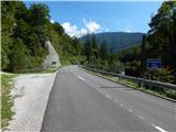
A) We drive to Preddvor, and then we continue driving towards Zgornje Jezersko. When we arrive in Kokra, we will quickly come to a transformer, where the starting point of the path to Dom Čemšenik is. We can park already here, or we can drive approximately 100 meters further, where, on the left below a smaller wall, we will notice a cycling rest area, where there is also some space for parking.
B) From Zgornje Jezersko we drive towards Preddvor. At the end of the settlement Kokra, we cross the Čemšenik stream, right behind the bridge, on the right by the cycling rest area, we park in a suitable place by the road. We can also park 100 meters further on the parking area by the transformer, which is located on the left side of the road.
Route description:
From the starting point, we continue along the main road in the direction of Jezersko, where we cross the Čemšeniški potok stream, after the stream we go right onto a side road, along which there are signs for Davovec, Kopo and Skutman. After the crossroads over the bridge we cross the Kokra river, at the homestead pr Hkavc we go right. After a shorter diagonal ascent we arrive at the last house, behind which we go left uphill onto a macadam road, from which, still before the hayfield, we go right onto a wide cart track that passes into the forest and starts to ascend more steeply. There follows an ascent on a wide cart track or poorer road, the fairly steep path higher up makes a few hairpin turns, at the junctions we follow the wider path. We follow this path all the way to Zapečnikova planina, which we recognize by the fact that we have arrived at a panoramic slope, from which a nice view opens towards the west.
Description and pictures refer to the condition in 2019 (September).

Photos:
 1
1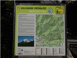 2
2 3
3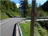 4
4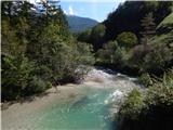 5
5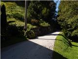 6
6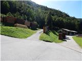 7
7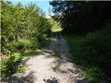 8
8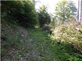 9
9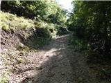 10
10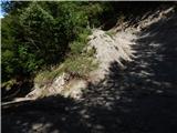 11
11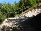 12
12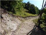 13
13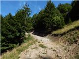 14
14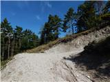 15
15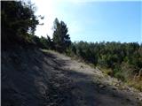 16
16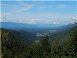 17
17
Discussion about the trip Kokra (počivališče Kokra-sotočje) - Zapečnikova planina
To post a comment you must log in:
If you do not yet have a username, you must first
register.