Kolnica - Planinski dom Goška ravan (by road)
Starting point: Kolnica (500 m)
| Latitude/Longitude: | 46,32170°N 14,15990°E |
| |
Route name: by road
Walking time: 1 h 25 min
Difficulty: easy unmarked way
Elevation gain: 433 m
Elevation difference along the route: 440 m
Map: Karavanke - osrednji del 1:50.000
Recommended equipment (summer):
Recommended equipment (winter):
Views: 6.615
 | 1 person like this post |
Access to starting point:
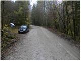
A) From the highway Ljubljana - Jesenice, we take the exit Naklo, Podtabor or Brezje, then continue driving in the direction of Kropa. At the crossroads where the road continues straight towards Kropa, we turn right and further drive through Kamna Gorica. Further on, we drive for some time through Lipniška dolina, then turn left in the direction of Spodnje Lipnice and Lovska koča na Taležu. After the hamlet Kolnica, the asphalt ends and the road takes us into the forest. We park on an appropriate place by the road.
B) From the highway Jesenice - Ljubljana, we take the exit Lesce or Radovljica, then continue driving in the direction of Radovljica and later the villages Lancovo, Lipnica and Kamna Gorica. Further, the road over a bridge crosses the Sava river and on the other side gradually starts to ascend. The path leads us through Lancovo, then we descend into Lipniška dolina, where we soon turn right into Spodnjo Lipnico. The road then leads us past the source of Lipnica and the hamlet Kolnica, where the asphalt ends. We park on an appropriate place by the road.
Route description:
From the starting point, we continue on the macadam road which at first gently, then moderately ascends through the forest. We walk for some time on the road, then past the area of water catchment we arrive at the spot where the marked path from the valley joins from the right.
Here we continue straight (left first on the cart track Vodiška planina and Goška Ravan) and continue further on the road. Higher, the road brings us to the marked crossroads, where we continue left in the direction of the Planinski dom na Goški ravni (right Lovska koča na Taležu), to which we have approximately 3 km of walking.
The road further gently to moderately ascends through the forest, and past Španov rovta it brings us to the spot where we approach very closely to the marked path from the valley. Here we continue right (straight marked footpath) and follow the road to the next crossroads, where the road to Ribenska planina branches off to the right, we continue left and follow the gradually somewhat steeper road to the beginning of the Goška ravan mountain pasture. Here we leave the road and in some 10 steps walk to the Planinski dom na Goški ravni.

Photos:
 1
1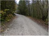 2
2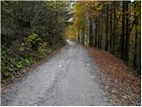 3
3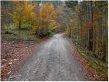 4
4 5
5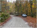 6
6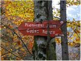 7
7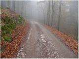 8
8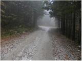 9
9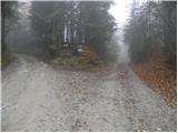 10
10 11
11 12
12 13
13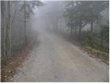 14
14 15
15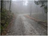 16
16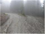 17
17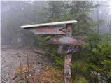 18
18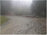 19
19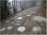 20
20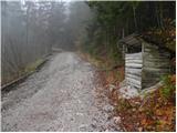 21
21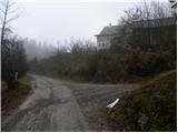 22
22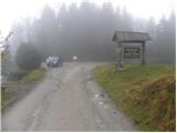 23
23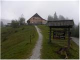 24
24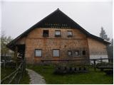 25
25
Discussion about the trip Kolnica - Planinski dom Goška ravan (by road)
To post a comment you must log in:
If you do not yet have a username, you must first
register.