Komare doline - Sveti Kvirik
Starting point: Komare doline (297 m)
| Latitude/Longitude: | 45,49510°N 13,88750°E |
| |
Walking time: 1 h 20 min
Difficulty: easy marked way
Elevation gain: 111 m
Elevation difference along the route: 150 m
Map: Slovenska Istra - Čičarija, Brkini in Kras 1:50.000
Recommended equipment (summer):
Recommended equipment (winter):
Views: 4.586
 | 1 person like this post |
Access to starting point:
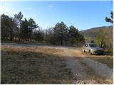
From the highway Ljubljana - Koper we take the exit Črni Kal. From Črni Kal we continue driving on the old road towards the coast, but we drive along it only to the next somewhat larger intersection, where we turn left in the direction of the border crossing Sočerga. On the mentioned road, we drive past the settlement Kubed to the village Gračišče, where at the intersection we turn left in the direction of Rakitovec, Movraž and Smokvica. From Gračišče we drive for approximately 1 km, then we arrive at a smaller intersection, where we continue right onto the side asphalt road. On the mentioned road, we drive another 50 m and then on the left side we notice a suitable parking space and beside it the hiking markers for the church of St. Kvirik.
Route description:
From the starting point, we head onto the forest road in the direction of the natural bridge, bunker and St. Kvirik. The road first ascends gently through a pine grove and shrubbery, then ascends somewhat more steeply and leads us for some time over partly panoramic slopes, from which a beautiful view opens towards Lačna and Gračišče. Higher up, the path brings us into the more level terrain named Vela griža. Here the path, or road, flattens out completely and then continues with some shorter ascents and descents above the village Lukini. A little further, we bypass the peak Gradec (413 m) on the right side, and the gentle and occasionally quite panoramic path quickly brings us to the church of St. Kvirik above Sočerga.
Photos:
 1
1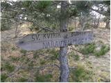 2
2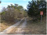 3
3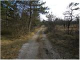 4
4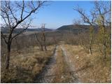 5
5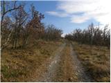 6
6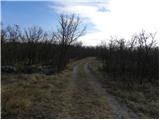 7
7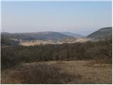 8
8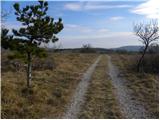 9
9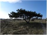 10
10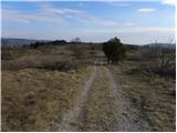 11
11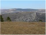 12
12 13
13 14
14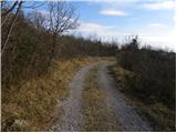 15
15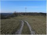 16
16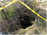 17
17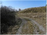 18
18 19
19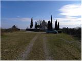 20
20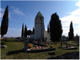 21
21
Discussion about the trip Komare doline - Sveti Kvirik
To post a comment you must log in:
If you do not yet have a username, you must first
register.