Starting point: Komarna vas (680 m)
| Latitude/Longitude: | 45,67200°N 15,08330°E |
| |
Walking time: 1 h
Difficulty: easy marked way
Elevation gain: 275 m
Elevation difference along the route: 285 m
Map: Dolenjska - Gorjanci, Kočevski Rog 1:50.000
Recommended equipment (summer):
Recommended equipment (winter):
Views: 11.818
 | 4 people like this post |
Access to starting point:
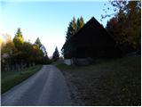
From Ivančna Gorica or Novo Mesto we drive to Podturn at Dolenjske Toplice, and then we continue driving in the direction of Črnomelj. We follow the mentioned road to Črmošnjice, here at the first crossroad we continue right in the direction of the ski slope Gače (SC Bela) and Komarna vas. After approximately 2 km of ascent we come to the crossroad, where we continue right in the direction of Kočevje. Still relatively steep road brings us higher out of the forest, where we come to some successive smaller crossroads. We continue left, we drive past a larger farm and graveyard Komarna vas, and then we come to a bigger house, on which we notice the blazes, which direct us to a footpath (in the winter cross country ski trail). We park at the appropriate place before or behind the house.
Access from Bela krajina: First, we drive to Semič, and then we continue driving in the direction of Dolenjske Toplice. We follow the mentioned road to Črmošnjice, there at the crossroad, only a few 10 meters before the end of the village, we continue left in the direction of the ski slope Gače (SC Bela) and Komarna vas. Further, we follow the description above.
Route description:
From the starting point, we go on a wide marked footpath (cart track or in the winter time cross country ski trail), which barely ascends through the forest. After approximately 15 minutes of walking, we step out of the forest onto a larger clearing, by the edge of which stands a smaller trailer.
From the clearing, we continue in approximately the same direction as we were walking until now and continue the ascent on at first a poorly visible footpath, which quickly leads into a dense forest. The path, which gradually starts to ascend a little steeper, brings us higher to a forest road, which we only cross. Further, we moderately ascend on an occasionally quite overgrown footpath, which a little higher brings us to another forest road. We follow the mentioned road to the left, and it quickly brings us to the ski track SC Bela. Here the road turns sharply right and brings us past a mighty tree to ruins, which are part of the memorial park on Gače. We continue on the increasingly scenic path, which brings us past a smaller chapel to the inscription box on Gače.
From the inscription box, we can in just over 5 minutes of additional walking ascend to one (or even both) of the two panoramic peaks of SC Bela.

Photos:
 1
1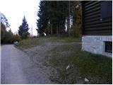 2
2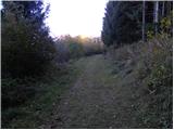 3
3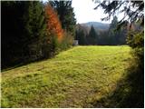 4
4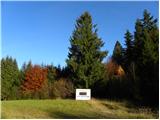 5
5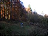 6
6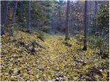 7
7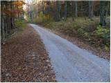 8
8 9
9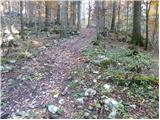 10
10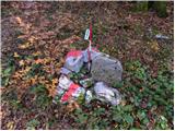 11
11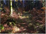 12
12 13
13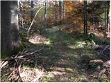 14
14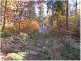 15
15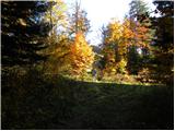 16
16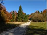 17
17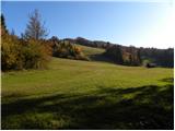 18
18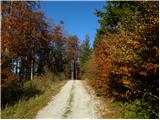 19
19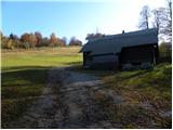 20
20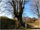 21
21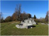 22
22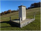 23
23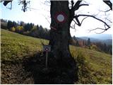 24
24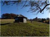 25
25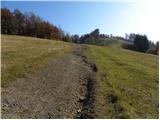 26
26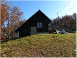 27
27 28
28
Discussion about the trip Komarna vas - Gače
|
| Onboard29. 12. 2020 |
From the container in the clearing to the goal, the path is quite overgrown and unused. The path is well marked. At the top, you are rewarded with a beautiful view. We returned back by road.
|
|
|
To post a comment you must log in:
If you do not yet have a username, you must first
register.