Koprivna (Šumel) - Sveti Jakob in Koprivna
Starting point: Koprivna (Šumel) (786 m)
| Latitude/Longitude: | 46,45660°N 14,75940°E |
| |
Walking time: 50 min
Difficulty: easy unmarked way
Elevation gain: 276 m
Elevation difference along the route: 276 m
Map: Koroška 1:50.000
Recommended equipment (summer):
Recommended equipment (winter): ice axe, crampons
Views: 546
 | 1 person like this post |
Access to starting point:
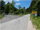
A) We drive to Črna na Koroškem, and then we continue driving in the direction of Koprivna and Solčava. Further on, we drive through the valley by the Meža River, and when we get to the crossroads, where the road to Solčava branches off to the left, the described path starts. We park somewhere nearby at an appropriate place by the road.
B) We drive to Solčava, and then we follow the signs for Črna na Koroškem. There follows an ascent to the pass Spodnje Sleme, and from there a descent towards Črna na Koroškem and Koprivna. When we arrive in the valley, at the crossroads with the road which leads from Koprivna towards Črna na Koroškem, we are at the beginning of the described path. We park somewhere nearby at an appropriate place by the road.
Route description:
From the starting point we go on the road in the direction of Solčava, Podolševa and Logarska dolina, the signpost which used to be next to the road signs is now hidden nearby. The path first leads past the homestead Šumel, and before the next houses we go slightly right on a cart track which through a meadow passes into the forest and starts ascending diagonally. Then follows a few minutes of diagonal ascent, and then the cart track flattens and a little further even slightly descends. After a short descent we reach another cart track, and we follow it to the right, at a few crossings we continue straight. When we get to a wooden cross we turn sharply to the right and then we cross the slopes towards the east. Next follows a few smaller crossings where we go straight, and the cart track on an indistinct ridge turns semicircularly back towards the west. Here the path brings us out of the forest, and to the church of St. Jakob only a shorter walk and crossing of two grazing fences separate us.
Description and pictures refer to the condition in the year 2018 and 2019 (July).

Photos:
 1
1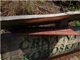 2
2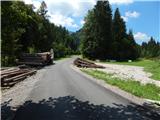 3
3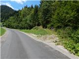 4
4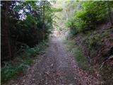 5
5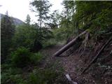 6
6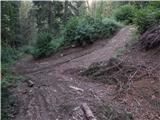 7
7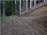 8
8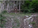 9
9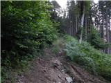 10
10 11
11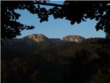 12
12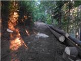 13
13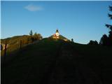 14
14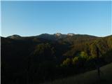 15
15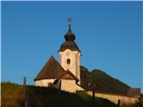 16
16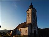 17
17
Discussion about the trip Koprivna (Šumel) - Sveti Jakob in Koprivna
To post a comment you must log in:
If you do not yet have a username, you must first
register.