Grpiče / Korpitch - Zajčnik
Starting point: Grpiče / Korpitch (625 m)
| Latitude/Longitude: | 46,54310°N 13,80470°E |
| |
Walking time: 3 h 35 min
Difficulty: easy marked way
Elevation gain: 1121 m
Elevation difference along the route: 1121 m
Map:
Recommended equipment (summer):
Recommended equipment (winter): ice axe, crampons
Views: 3.049
 | 1 person like this post |
Access to starting point:
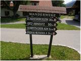
Via the border crossing Korensko sedlo we drive into Austria, then just before the main intersection (intersection of the road Beljak - Trbiž) we turn right into Radna vas / Radendorf. In the next intersection near the settlement Šentlenart pri Sedmih studencih / St. Leonhard bei Siebenbrünn we continue right towards the village Grpiče / Korpitch (left Ločilo / Hart). When we arrive in Grpiče we follow the signs for Blekova planina - Blekowa Alm. At the starting point there are no appropriate parking spots.
Route description:
From the upper part of the village we cross a grazing fence and through the pasture we gently ascend to an intersection, by which there is a marked junction. From the intersection we continue on the left road in the direction of "Pridou - Blekova", which we follow for only a few minutes, since then the blazes direct us right onto a footpath, which higher up crosses the forest road several more times. On some spots poorly marked, above all very overgrown, the path then for some time continues on a macadam road and occasionally leaves it again. Higher the path continues mainly along the road, and we follow it to a longer left bend, at the end of which a marked path branches off to the right. The path ahead first ascends through the forest, then passes into an overgrown valley, where we ascend on an overgrown path to the nearby forest road, which we reach right at the Pridovske koče.
When we step onto the road we join a somewhat more visited path from the village Žužalče / Susalitch. Here we bypass a few more cottages, then the road turns sharply to the right and after some 10 steps brings us to the spot where the blazes lead us left onto a footpath, which then ascends through the forest. After a short ascent we return to the road and leave it again after 20 m. Just a few meters higher we cross the road for the last time, then we begin to ascend steeply through the forest. Higher we ascend over a steep grassy slope surrounded by lush shrubbery, then the path returns to the forest. Still steep path, then it crosses a grazing fence and behind it flattens. A gentle ascent to the border ridge follows, and an increasingly panoramic path (view of Dobrač and the Martuljek group) brings us to the shepherd's hut on Blekova planina.
From the shepherd's hut we return to the sign that marks the state border, then we continue towards the west, where we quickly notice at first a poorly visible pathlet that turns slightly left into the forest. Through the forest we first ascend along a tractor track, then continue the ascent on a less trodden pathlet that continues directly along the state border. Higher the rare Austrian blazes end, and we follow the increasingly poor path along the border ridge. After a few minutes the path flattens and brings us out of the forest onto a partly panoramic meadow, where the path is finally lost. We continue along the ridge and after one or two minutes of further walking we arrive at the summit of Zajčnik.

The trip can be extended to the following destinations: Vošca
Photos:
 1
1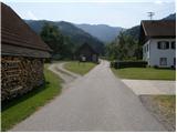 2
2 3
3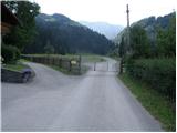 4
4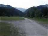 5
5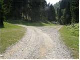 6
6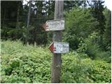 7
7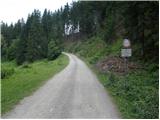 8
8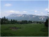 9
9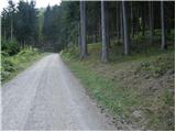 10
10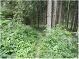 11
11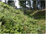 12
12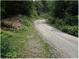 13
13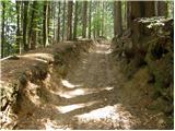 14
14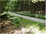 15
15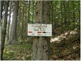 16
16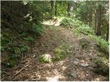 17
17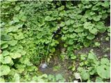 18
18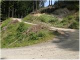 19
19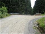 20
20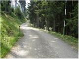 21
21 22
22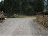 23
23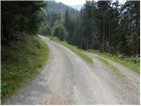 24
24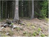 25
25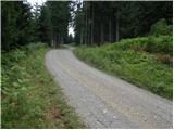 26
26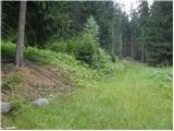 27
27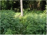 28
28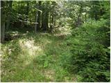 29
29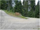 30
30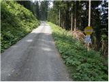 31
31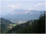 32
32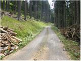 33
33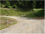 34
34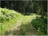 35
35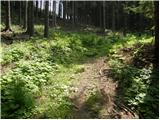 36
36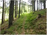 37
37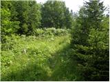 38
38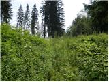 39
39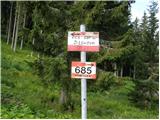 40
40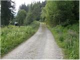 41
41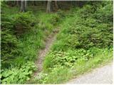 42
42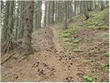 43
43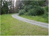 44
44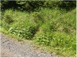 45
45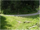 46
46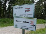 47
47 48
48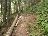 49
49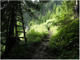 50
50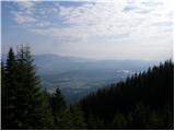 51
51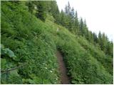 52
52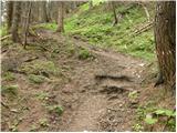 53
53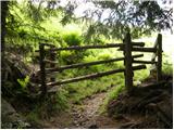 54
54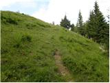 55
55 56
56 57
57 58
58 59
59 60
60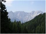 61
61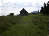 62
62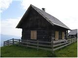 63
63 64
64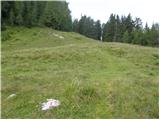 65
65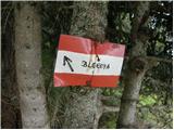 66
66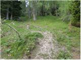 67
67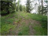 68
68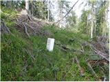 69
69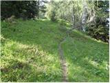 70
70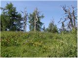 71
71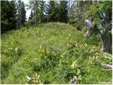 72
72 73
73 74
74
Discussion about the trip Grpiče / Korpitch - Zajčnik
To post a comment you must log in:
If you do not yet have a username, you must first
register.