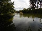
Koseški bajer - Koseški bajer (circular path on PST)
Starting point: Koseški bajer (307 m)
| Latitude/Longitude: | 46,06770°N 14,46740°E |
| |
Route name: circular path on PST
Walking time: 8 h
Difficulty: easy marked way
Elevation gain: 0 m
Elevation difference along the route: 185 m
Map: Ljubljana - okolica 1:50.000
Recommended equipment (summer):
Recommended equipment (winter):
Views: 3.680
 | 1 person like this post |
Access to starting point:
From the Gorenjska highway or Ljubljana bypass, we head to the exit Ljubljana - Podutik, or Ljubljana - Koseze, and then continue driving towards Koseze. In Koseze, from Podutiška cesta we turn right towards Koseški bajer, near which we look for an appropriate space for parking.
The path described below can be started anywhere where the Trail of Remembrance and Comradeship runs, and we end it there as well.
Route description:
Below is described a circular path on the Trail of Remembrance and Comradeship with start and end at Koseški bajer; the description runs clockwise. Since the path is circular, it can be started anywhere where the mentioned path runs.
On the west side of Koseški bajer we notice the Trail of Remembrance and Comradeship, and we start walking along it towards the north to northeast. When we leave the lake, the path mostly continues on asphalt, where at crossroads we carefully follow the signs of the Trail of Remembrance (green-white sign with inscription POT, in the O a red star, or floor markings embedded in the asphalt with inscription POT).
When we leave Koseze we arrive in Šiška, where orientation becomes somewhat more difficult; after crossing Celovška cesta, the path continues near the north Ljubljana bypass, where we cross the railway track twice, then past AMZS and Stožice we continue towards Žale, where orientation is easier again. After Žale, on the section of Nove Jarše, we must again carefully follow mainly the floor markings, then we arrive again at the edge of the bypass, which is well hidden behind a larger embankment and avenue of trees. A longer plain on a macadam path follows, which is characteristic of the mentioned path. When we arrive at Letališka cesta, we are again on asphalt, then over a bridge we cross the motorway and temporarily switch to the outer side of the bypass.
Next follows walking along the motorway, where the path leads through two underpasses, then the path turns westwards, where we continue near the Ljubljanica. When we arrive in Fužine we continue left, across the Ljubljanica over the Fužine bridge, then we slowly approach Golovec. Along the avenue of the Trail of Remembrance, across fields and meadows we reach the edge of Golovec, where the path begins to ascend. During the ascent on Golovec we climb approximately 150 metres of elevation, then we begin descending towards Rudnik or Galjevica. When we reach the valley, we cross Dolenjska cesta, then continue along the edge of the Ljubljana Marshes on an easy-to-follow path. Near the inn Livada we cross the Ljubljanica once again, a bit further also Mali graben. Walking along the edge of Murgelj follows, then at Dolgi most we cross Tržaška cesta (at the time of the description part of the path across Tržaška cesta was closed and a bypass was arranged), then past Vič cemetery we arrive at the last part of our path, where the path past Vrhovci and along the edge of the landscape park Šišenski hrib brings us to Koseški bajer.
The described path is approximately 32.5 km long. If we venture onto the path for the first time, it is also orientationally relatively demanding, as it leads through numerous crossroads and compact settlements where the markings are deficient or harder to notice.
The description and pictures refer to the situation in 2016 (September).

Photos:
 1
1 2
2 3
3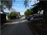 4
4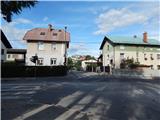 5
5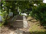 6
6 7
7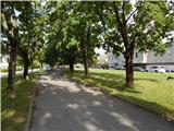 8
8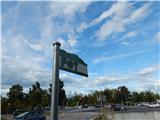 9
9 10
10 11
11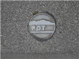 12
12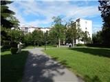 13
13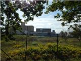 14
14 15
15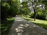 16
16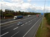 17
17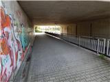 18
18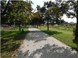 19
19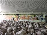 20
20 21
21 22
22 23
23 24
24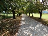 25
25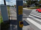 26
26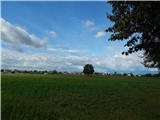 27
27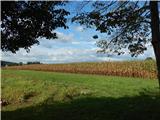 28
28 29
29 30
30 31
31 32
32 33
33 34
34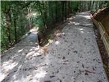 35
35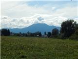 36
36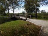 37
37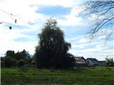 38
38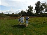 39
39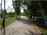 40
40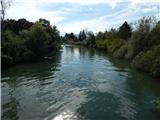 41
41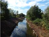 42
42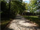 43
43 44
44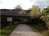 45
45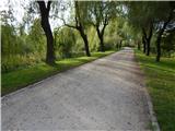 46
46 47
47 48
48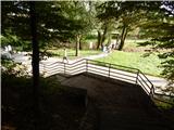 49
49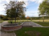 50
50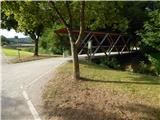 51
51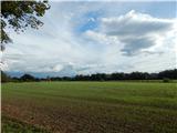 52
52 53
53 54
54 55
55 56
56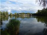 57
57
Discussion about the trip Koseški bajer - Koseški bajer (circular path on PST)
To post a comment you must log in:
If you do not yet have a username, you must first
register.