Starting point: Koseze (337 m)
| Latitude/Longitude: | 46,16820°N 14,53820°E |
| |
Walking time: 30 min
Difficulty: easy marked way
Elevation gain: 130 m
Elevation difference along the route: 130 m
Map:
Recommended equipment (summer):
Recommended equipment (winter):
Views: 2.681
 | 2 people like this post |
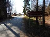
Access to starting point:
A) We leave the Gorenjska motorway at the Vodice exit, then continue driving towards Kamnik, and then in Vodice turn slightly right in the direction of the settlement Bukovica. Further, we drive on the road towards Mengeš to the crossroads at the end of the settlement Koseze, where at the bus stop the described path begins. We park in a suitable place nearby.
B) We drive to Mengeš, then from the main crossroads in the centre of Mengeš, we continue driving towards Kranj. A little further from the main road, we turn slightly left onto the road towards Vodice. At the beginning of the settlement Koseze we arrive at the crossroads, where at the bus stop the described path begins. We park in a suitable place nearby.
Route description:
From the starting point, we continue on a side road in the direction of Koseški hrib, which continues towards the north. The road first leads past a few more houses, then transitions into the forest, where it changes into a cart track. The cart track soon turns slightly right, then a "marked path" also joins from the right (the marked path is impassable, as it is crossed by a fenced new construction). A few steps further we cross another unmarked cart track, and at the next junction the path splits.
Straight ahead the path continues to Debeli vrh and Topole, while we continue left. Further on, we ascend first moderately, higher more gently. A little further, we join a somewhat wider cart track, where we continue straight (right Suhadole), a little further a marked path past Mlinčki also joins from the right.
Here we continue slightly left, then along the path where we notice a few more stations of the "Way of the Cross of Slovenianness", we ascend to the panoramic Koseški hrib.
Description and pictures refer to the condition in 2017 (March).

Photos:
 1
1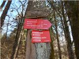 2
2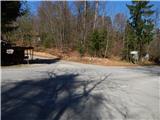 3
3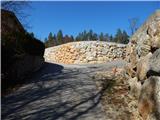 4
4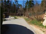 5
5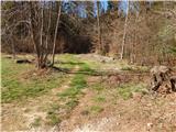 6
6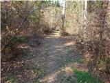 7
7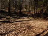 8
8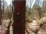 9
9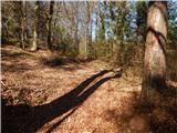 10
10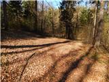 11
11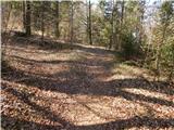 12
12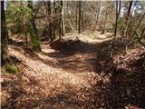 13
13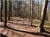 14
14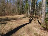 15
15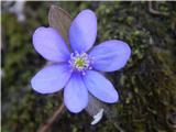 16
16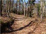 17
17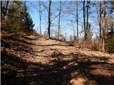 18
18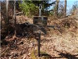 19
19 20
20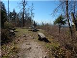 21
21 22
22
Discussion about the trip Koseze - Koseški hrib
|
| tinky22. 04. 2020 |
I cycled to Jane in Bukovica. Over coffee she tells me she's waiting for Berbara, and then we went to Koseški hrib, Mlinčnke and along paths I hadn't walked before.
If we had arranged it, it wouldn't have turned out so well. Then on the bike and home.
|
|
|
To post a comment you must log in:
If you do not yet have a username, you must first
register.